Map of Main Routes to Ambassador Bridge
$75.00
The Ambassador Bridge – ‘The New Route Between Detroit and Windsor.’
1 in stock
Description
This 1930s promotional brochure was prepared by the American Automobile Association on behalf of the Ambassador Bridge Company to encourage motor tourism throughout the Midwest and Canada. The bridge, which still exists today, connects Detroit, Michigan to Windsor, Canada and is the busiest international border crossing in North America.
It is prominently featured on the centerfold map of the eastern United States, which presents a simple outline of the paved and improved roads across the country, with distances between points noted in black (generally) and red (mileage from the Ambassador Bridge). Insets show southern Florida, Michigan, Lake Erie, and several strip maps showing travel routes from Winsor to prominent cities in the Midwest.
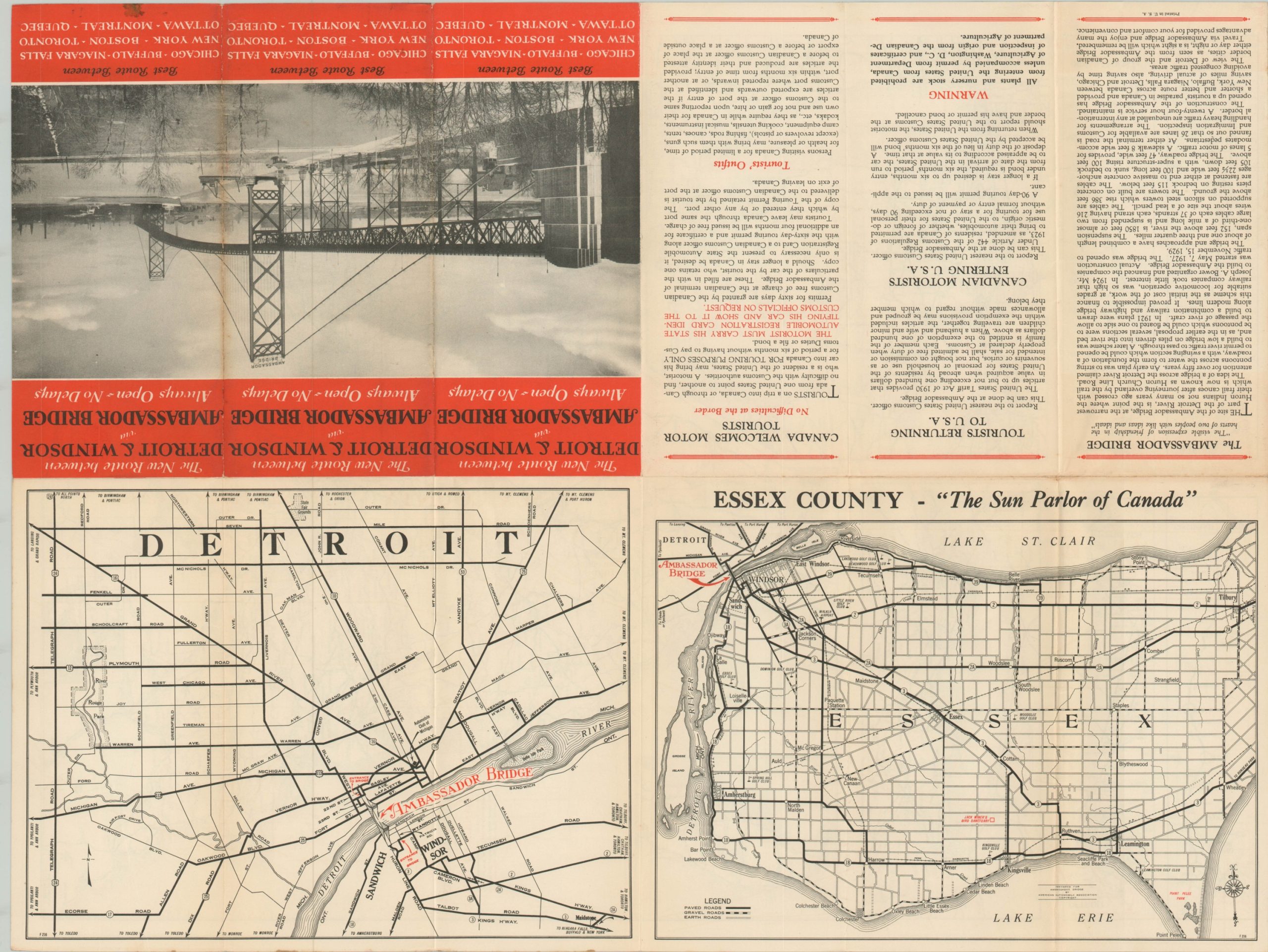
The verso presents a street plan of Detroit and road map of Essex County, “the Sun Parlor of Canada.” A photo of the bridge on the front cover is also accompanied by a description of its history and construction, travel trips, and regulations for motor tourism in Canada.
Map Details
Publication Date: c. 1934
Author: American Automobile Association
Sheet Width (in): 17.75
Sheet Height (in): 23.75
Condition: A-
Condition Description: Brochure that folds into 12 double sided segments. Light wear and creasing along fold lines and faint edge wear, consistent with age. A few small stains visible in the upper margins, but remains in very good condition overall.
$75.00
1 in stock


