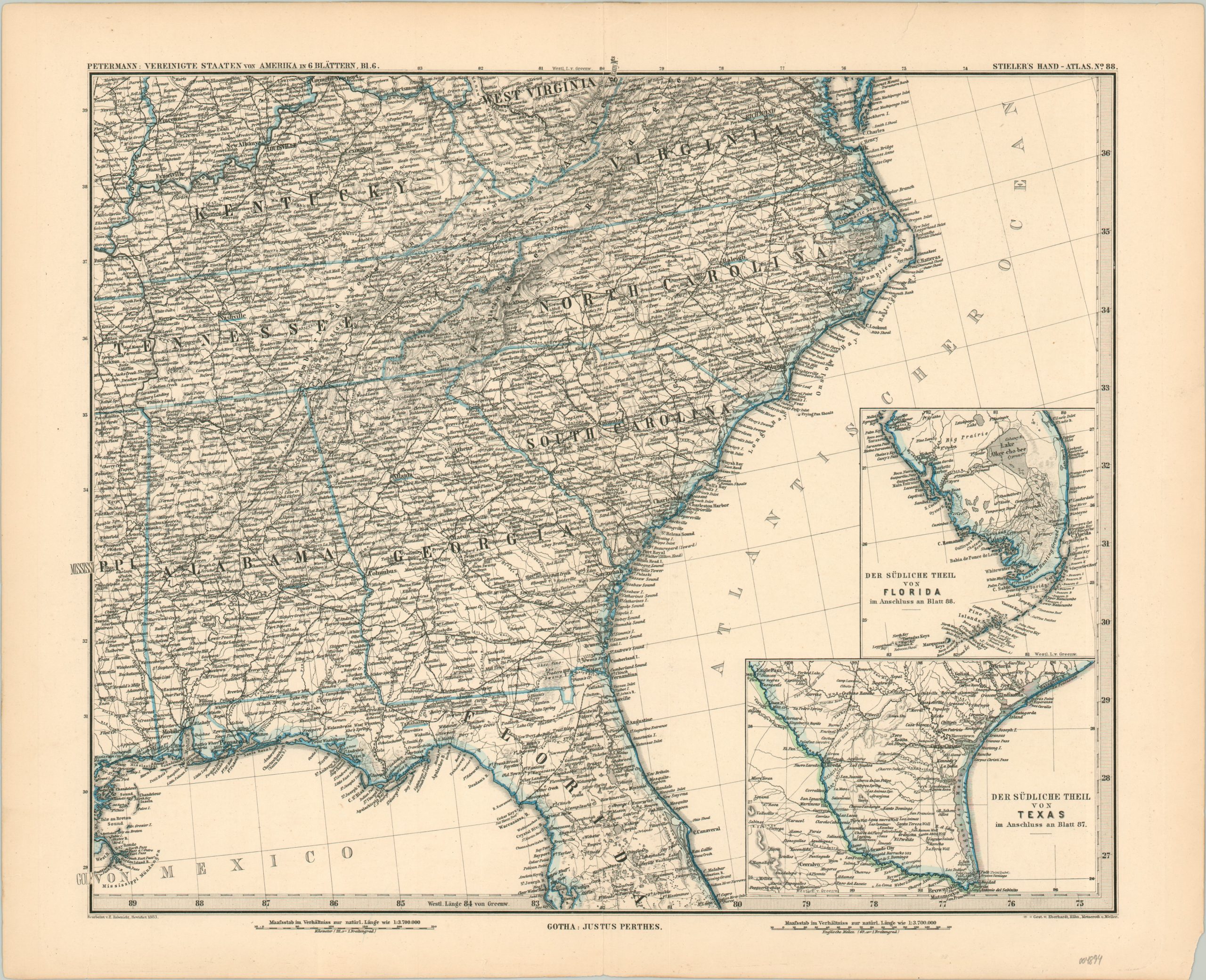
Vereinigte Stateen von Amerika in 6 Blattern [Plate 6 – Southeast U.S.]
$60.00
The Southern United States shortly after the Reconstruction Era.
1 in stock
Description
This informational map from the late 19th century covers 8 southern states – Kentucky, Tennessee, Virginia, North Carolina, South Carolina, Alabama, Georgia, and Florida. Two insets in the lower right show the lower portion of the peninsula, as well as the southern part of Texas. A robust network of roads and railroads connects many of the settlements scattered throughout the image. Finely engraved hachure lines highlight the Appalachian Mountains and other topographic details, while lowlands are depicted pictorially.
The skillfully engraved map was published in Gotha, Germany in 1883 by the Perthes Geographical Institution under the directorship of
August Petermann. Originally included as plate No. 88 in Stieler’s Hand-Atlas as plate 6 in the six-sheet map of the United States.
Map Details
Publication Date: 1883
Author: August Petermann
Sheet Width (in): 18.8
Sheet Height (in): 15.1
Condition: A-
Condition Description: A few small chips and tears along the lightly toned margins, but otherwise in very good to near fine condition.
$60.00
1 in stock

