Trolley Pathfinder Bird’s Eye Map of Interurban Trolley Lines in New England
Early 20th century transit map covering much of New England.
Out of stock
Description
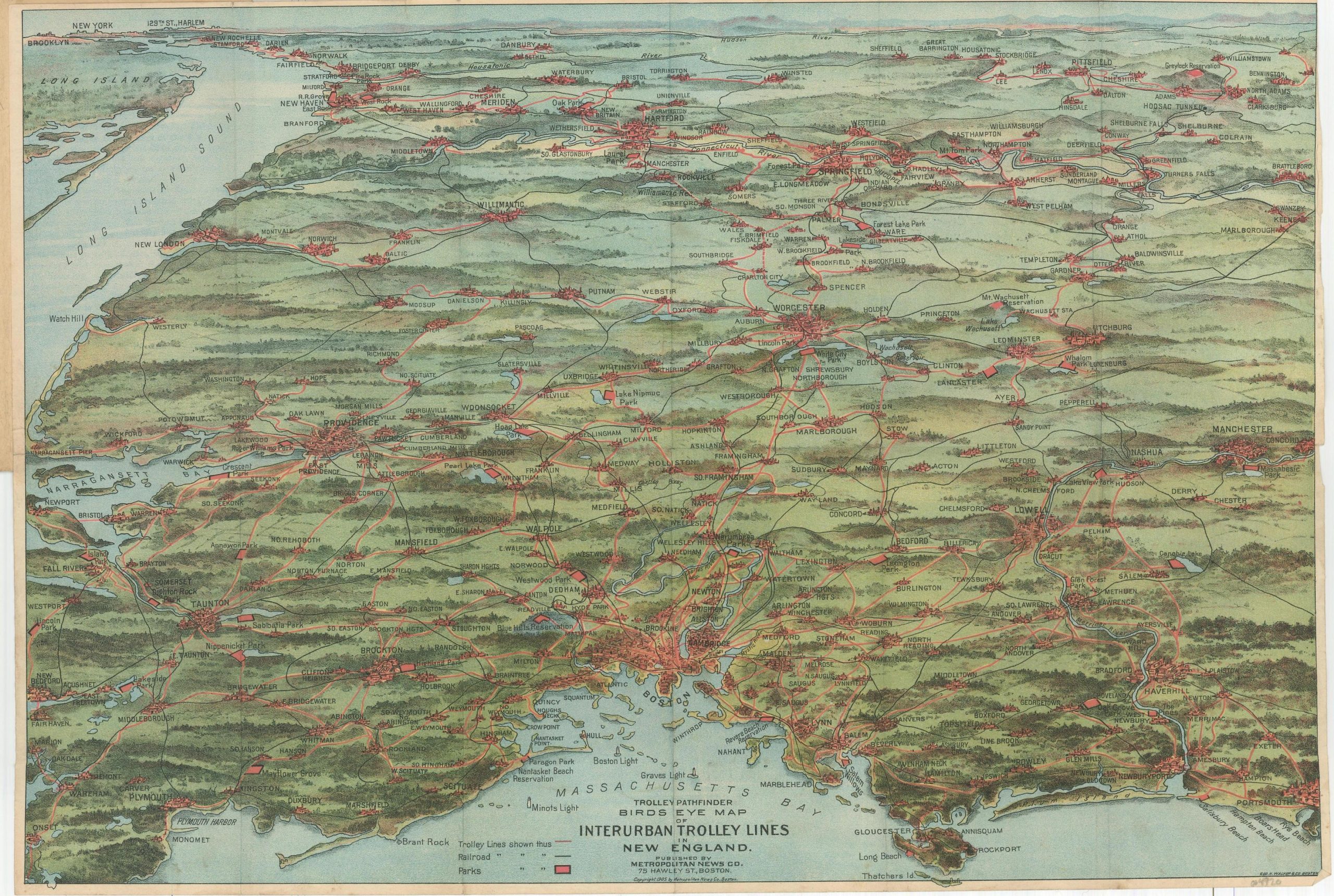
This sweeping perspective of New England is oriented with west at the top and presents a large area extending from Boston Harbor in the foreground to the Hudson River on the horizon. The bird’s eye view was deliberately chosen to show the expansive territory served by the region’s interurban trolley (or streetcar) lines.
The map presents a robust transit system connecting nearly every urban center with a population of around 5,000 or larger, providing an inexpensive, reliable, and (relatively) safe method of transportation for millions of residents and visitors alike. Major cities served by the network include New York, Boston, Hartford, Providence, and Portsmouth. Parks are highlighted in red, representing popular public outdoor destinations for New Englanders both in the early 20th century and today.
The map was designed by George H. Walker & Company and published in Boston in 1905 by the Metropolitan News Company.
Map Details
Publication Date: 1905
Author: George H. Walker & Co.
Sheet Width (in): 20.5
Sheet Height (in): 13.75
Condition: A-
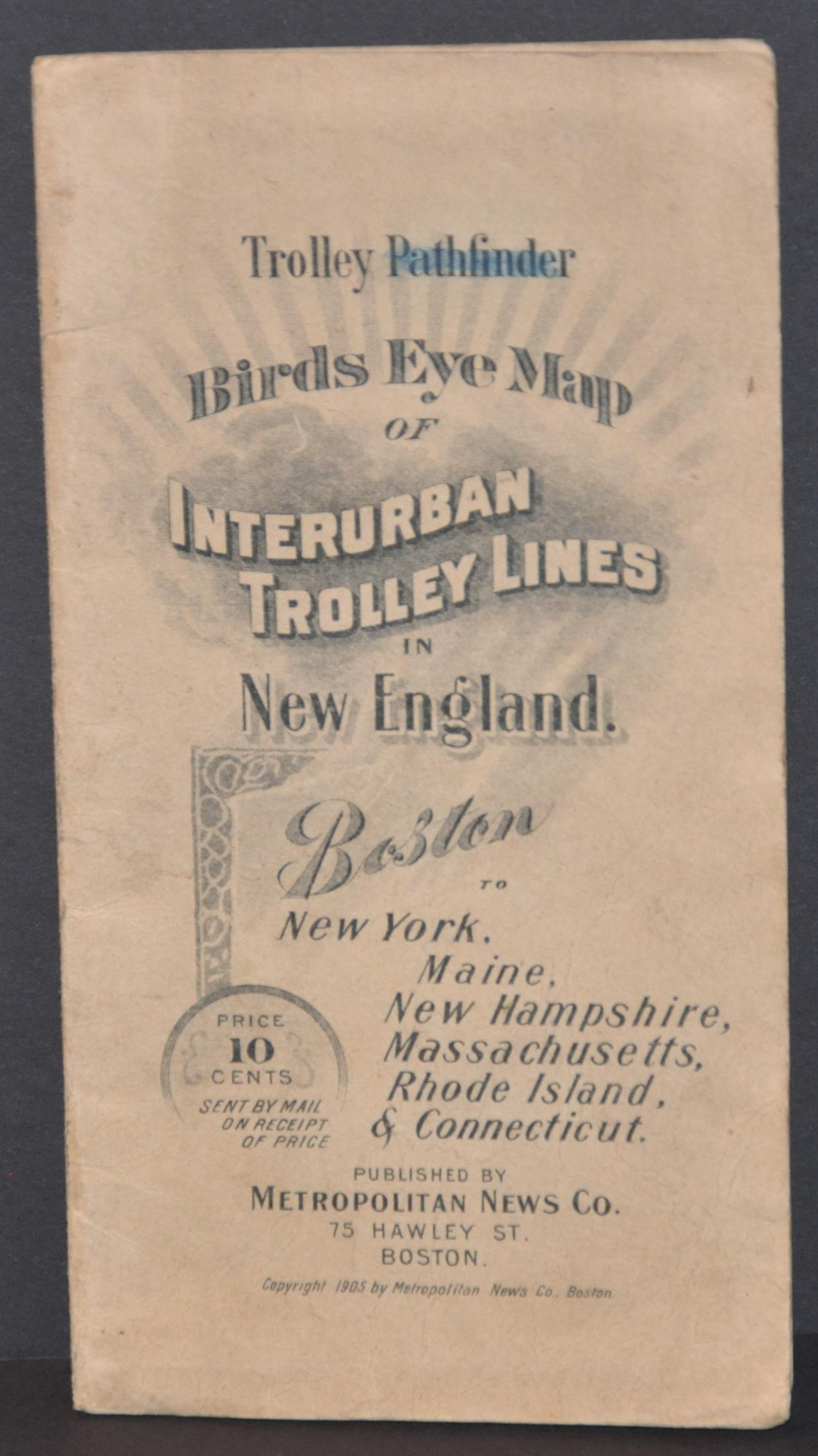
Condition Description: Pocket map folded into 12 panels and affixed to original stiff paper wraps. Creasing along fold lines and some wear along the outer edges of the sheet, which has a narrow margin. Covers are slightly soiled and worn, consistent with age and use. Very good overall.
Out of stock


