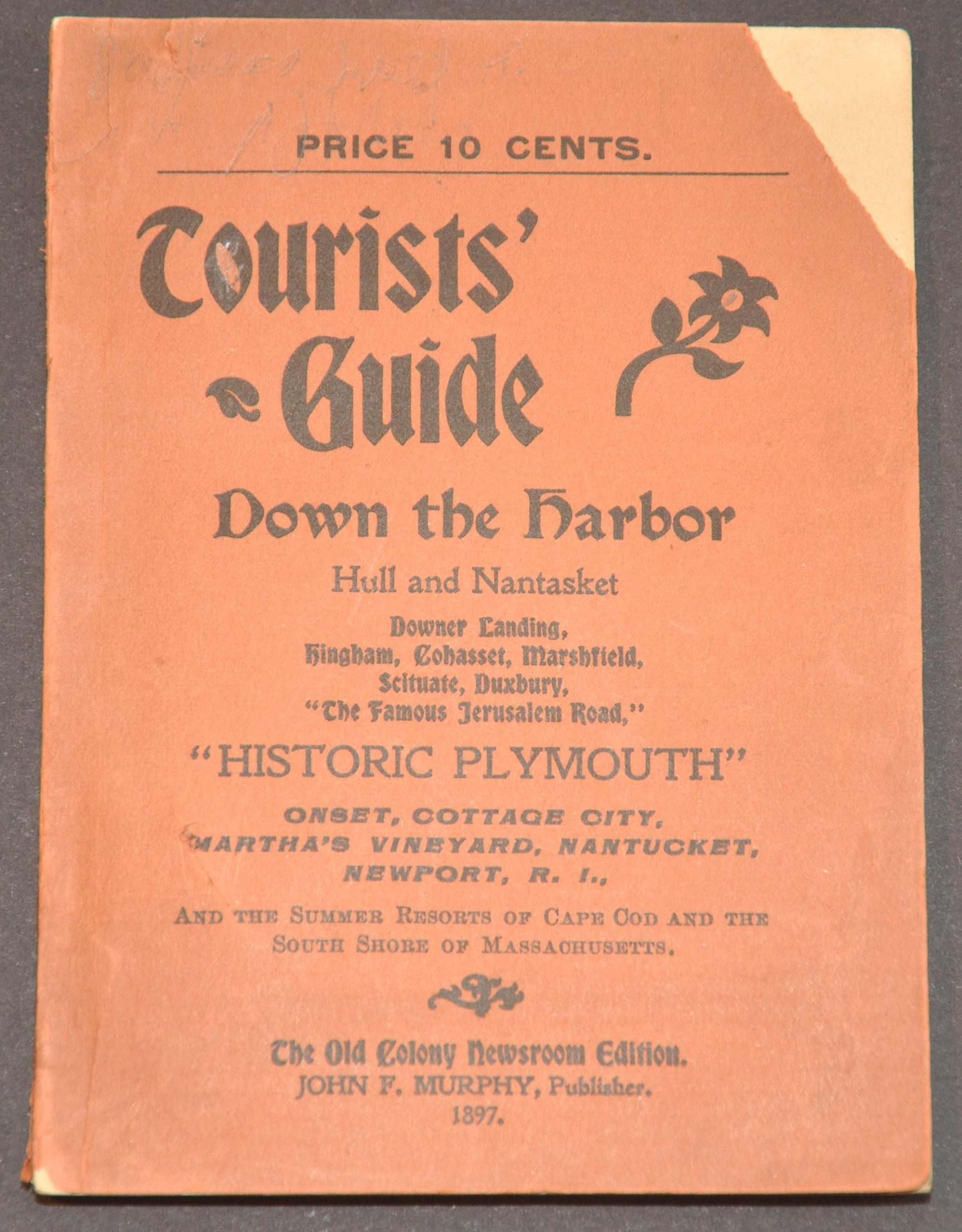
Tourist’s Guide to Down the Harbor, Hull and Nantasket…”Historic Plymouth”..and the Summer Resorts of Cape Cod
Summer escapes along the Massachusetts coast during the late 19th century.
Out of stock


Description
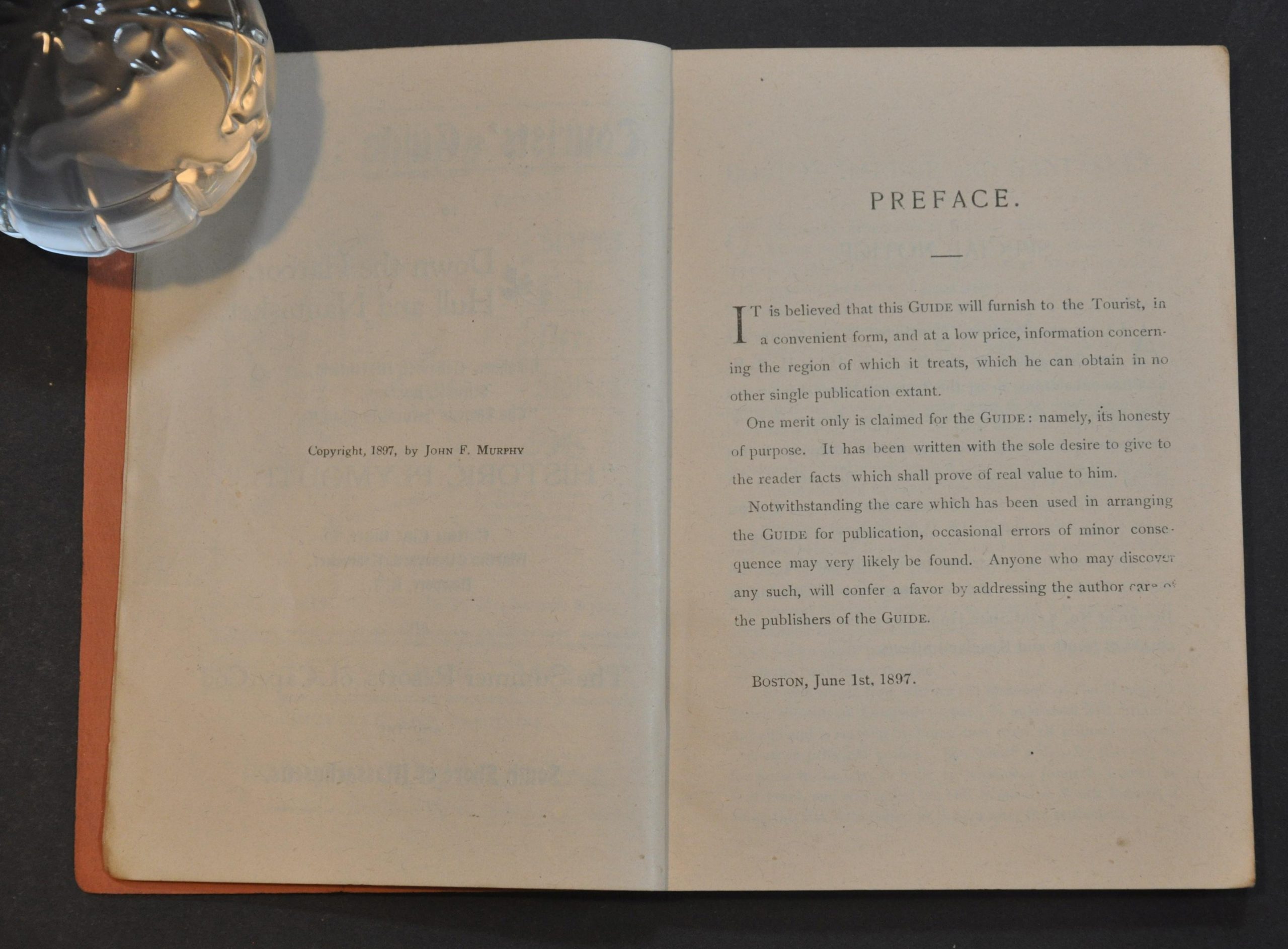
“It is believed this guide will furnish to the Tourist, in a convenient form, and at a low price, information concerning the region of which it treats, which he can obtain in no other single publication extant. One merit only is claimed for the guide: name, its honesty of purpose. It has been written with the sole desire to give the reader facts which shall prove of real value to him.” – Preface.
This fascinating late 19th-century guidebook to the Massachusetts coast was published in Boston by John F. Murphy in 1897. It provides descriptive details on a number of summer resorts across Nantucket, Martha’s Vineyard, and Boston Harbor that are accessible by the New York, New Haven, & Hartford Railroad or the Boston & Nantasket Steamboat Line.
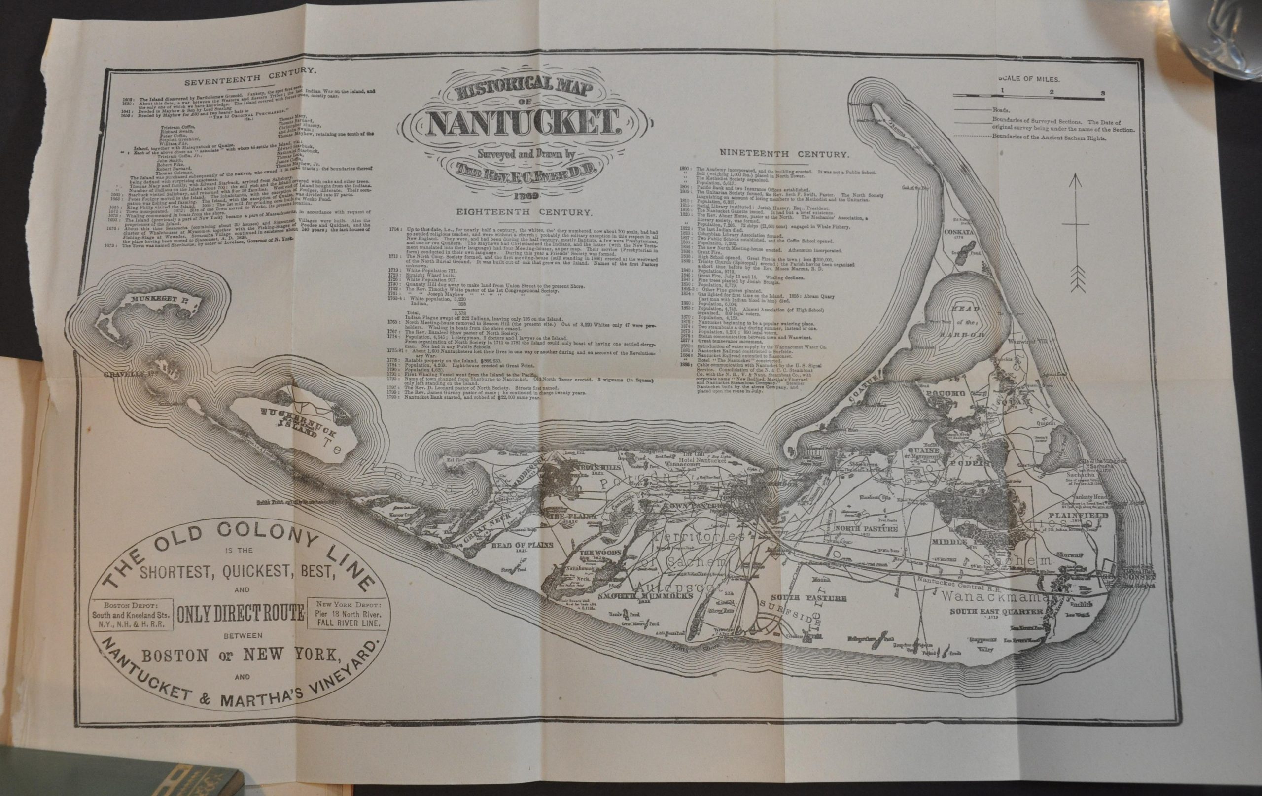
Information about local accommodations, locations of interest, and historic events are accompanied by black and white photographs, contemporary advertisements, and three folding maps. They are a Sectional Map of the New York New Haven, and Hartford Railroad South Shore, Nantasket Beach and Plymouth Lines (Rand Avery Supply Company); Old Colony Line Map of Martha’s Vineyard and the Summer Resorts of Buzzard’s Bay and Vineyard Sound (H.F. Walling); and Historical Map of Nantucket Survey and Drawn by the Rev. F.C. Ewer D.D. 1869 (Ferdinand Ewer).
Map Details
Publication Date: 1897
Author: John F. Murphy
Sheet Width (in): See Description
Sheet Height (in): See Description
Condition: A
Condition Description: 122 pp. + 7 pages of advertisements, bound in original orange paper wraps measuring about 6" x 4.25". Front cover has separated and is slightly soiled. Three folding maps, with light wear and small tears close to where bound. Very good overall
Out of stock