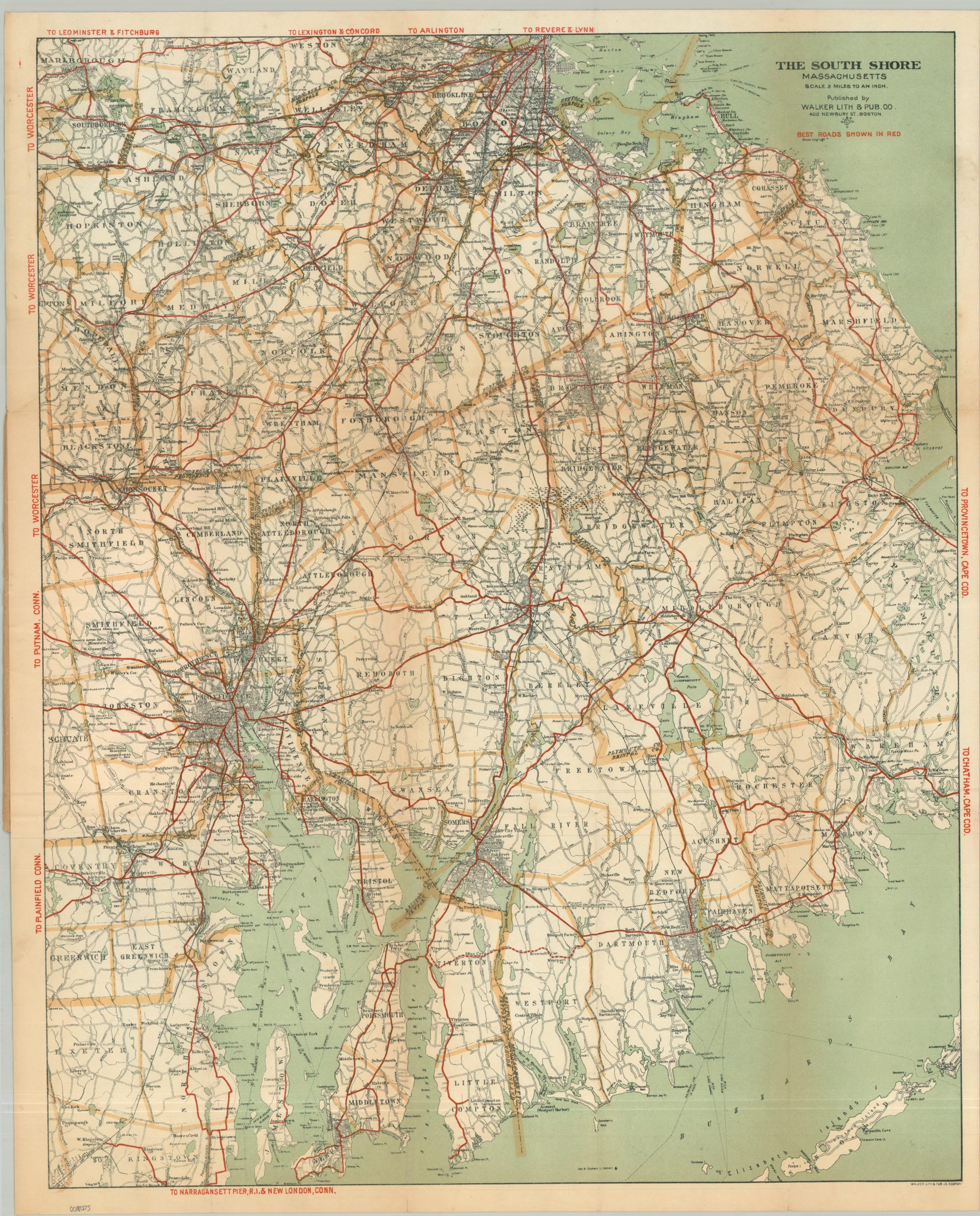
The South Shore Massachusetts
$175.00
Uncommon road map of the Massachusetts South Shore.
1 in stock
Description
This detailed map of southeastern Massachusetts encompasses a broad region bordered approximately by Boston Harbor, Cape Cod, Buzzards Bay, and Narragansett Bay. The ‘best roads’, highlighted in red, criss-cross an image that identifies towns, railroads, geographic features, notable structures (i.e. post offices), and coastal features.
The South Shore countryside would have contained a fascinating landscape for the enthusiastic cyclist or the early motorist. Huge summer cottages and exclusive suburbs for Boston’s Brahmin elite competed with local industry towns, taking advantage of ample water and power. Agricultural and livestock elements also remained, including large cranberry bogs, dairies, and coastal fishing communities.
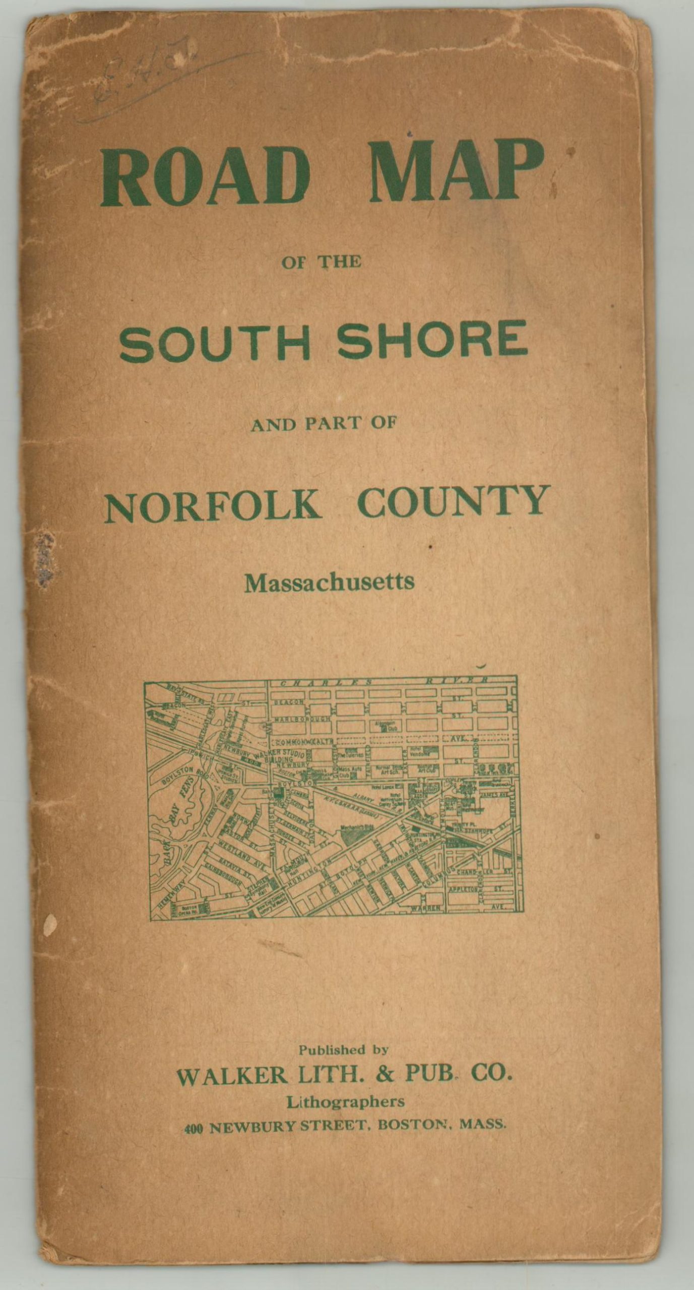
Published in Boston by the Walker Lithograph and Publishing Company. Undated, but likely issued around 1905 – 1910.
Map Details
Publication Date: c. 1905
Author: Walker Lithograph and Publishing Company
Sheet Width (in): 17.75
Sheet Height (in): 22.50
Condition: B
Condition Description: Color printed map on a single-sided sheet, folded into 15 panels and affixed to the original back paper cover (front cover is separated, but present). About 6" of clean splits along folds have been repaired on the verso. Moderate toning along folds and in the margins. About good condition overall.
$175.00
1 in stock