
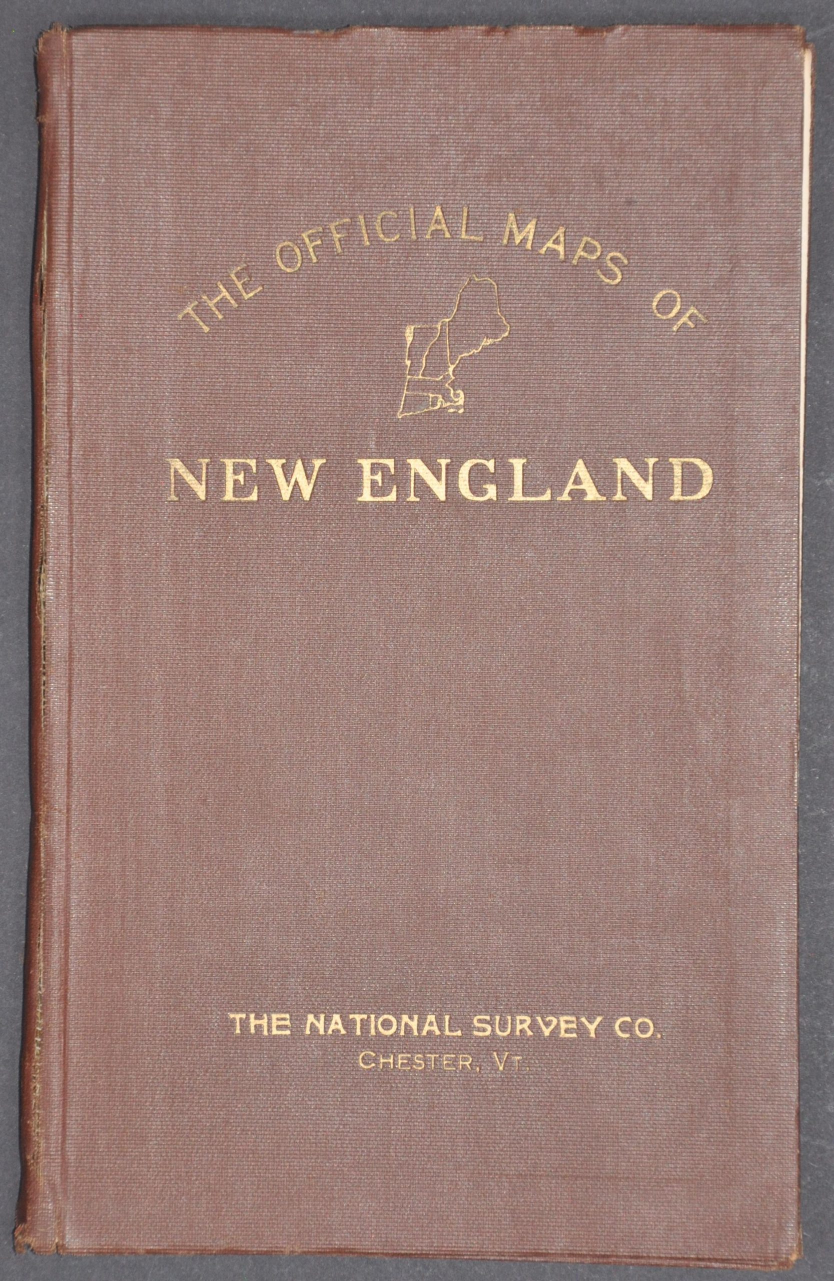
The Official Maps of New England
$50.00
Roads of New England before the introduction of the National Numbered Highway System.
1 in stock

Description
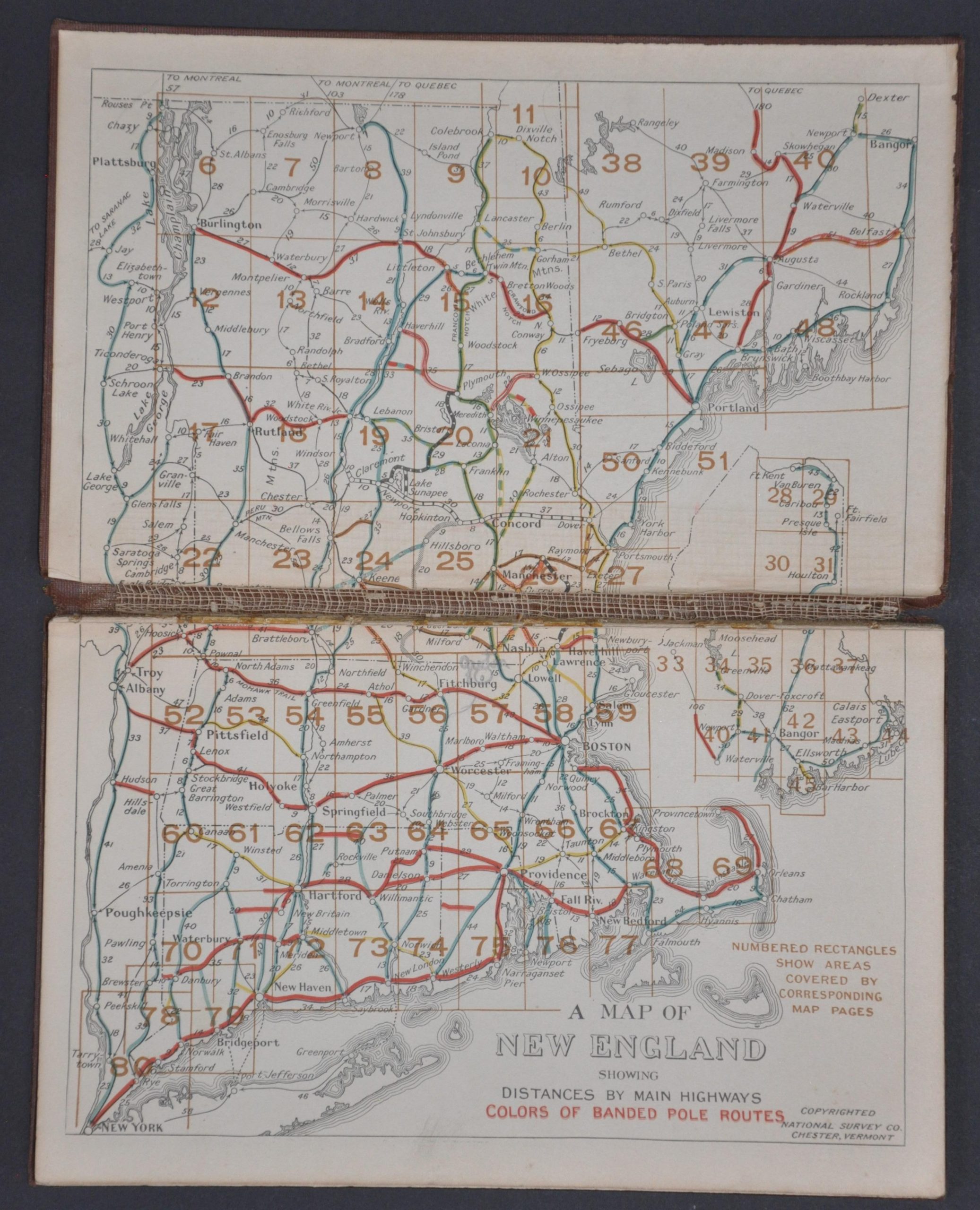
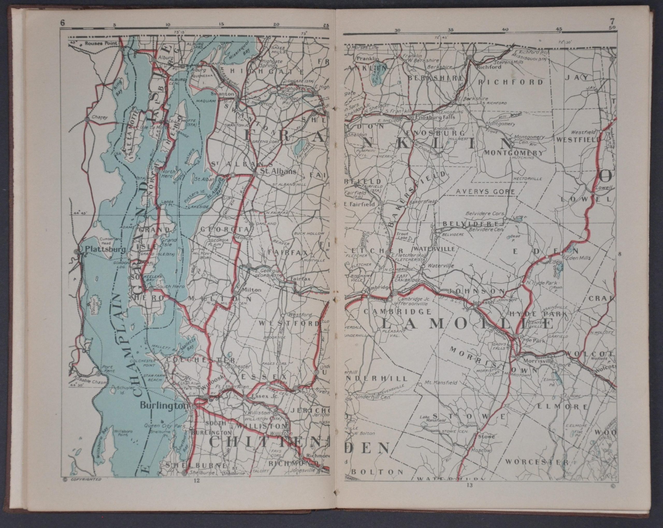
This handy little road atlas of New England offers a useful guide to the region’s early network of auto routes. A legend listing various route types, boundary lines, and settlement symbols is followed by 80 large-scale maps that provide a wealth of information for the intrepid motorist (though topography is largely omitted).
The maps were designed by L.V. Crocker. Published around 1921 by the National Survey Company of Chester, Vermont. A robust system of interurban railways is also displayed.
Map Details
Publication Date: c. 1921
Author: L.V. Crocker
Sheet Width (in): 5.8
Sheet Height (in): 9.1
Condition: B
Condition Description: 98 pp. atlas bound in original brown cloth boards with gilt lettering. A broken spine has resulted in a handful of loose pages near the end and some splitting along the gutter. One small spot of worming in the fore-edge margin. Complete, with 80 single page maps and two indexes on the front and back endpapers. Good condition overall.
$50.00
1 in stock