The Mapping of the Great Lakes in the Seventeenth Century
An uncommon collection of ever rarer maps of the Great Lakes.
Out of stock


Description
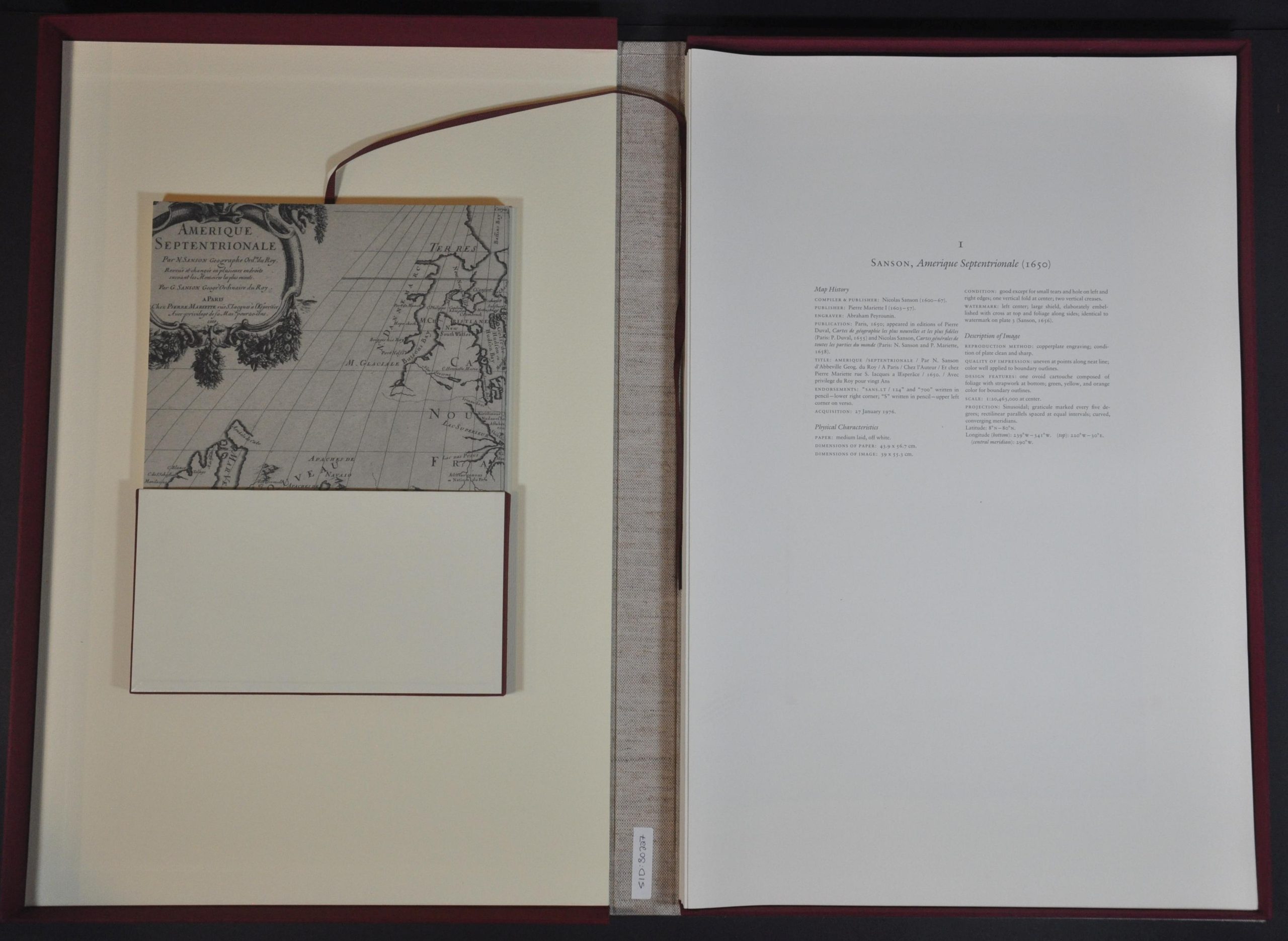
This handsomely produced volume recreates the images, geography, and history of some of the most important printed maps of the Great Lakes region from the second half of the 17th century. The group of 22 black and white maps begins with Nicholas Sanson’s iconic Amerique Septentrionale (1650) – the first to show all five lakes – and concludes with Hennepin’s map of the New World (1698).
The accompanying book of 108 pages includes an introduction and commentary by Kevin Kaufman, information on the George S. & Nancy B. Parker Collection, and reproductions of 14 influential manuscript maps of the same era. A necessary acquisition for any collection on the history of the Great Lakes region
Map Details
Publication Date: 1989
Author: Kevin Kaufman
Sheet Width (in): See Description
Sheet Height (in): See Description
Condition: A
Condition Description: Buckram-bound hinged clamshell box measuring 22.25" x 14.5". Contains 2 parts -: softcover volume of 108 pp. and 22 double-folio sized map facsimiles on 28 separate sheets. Complete and in near fine condition, with minor soiling on the front cover.
Out of stock