The Deep Waterway Between The Great Lakes and the Gulf of Mexico
$275.00
Strengthening the link between the Great Lakes and Mississippi River.
1 in stock
Description
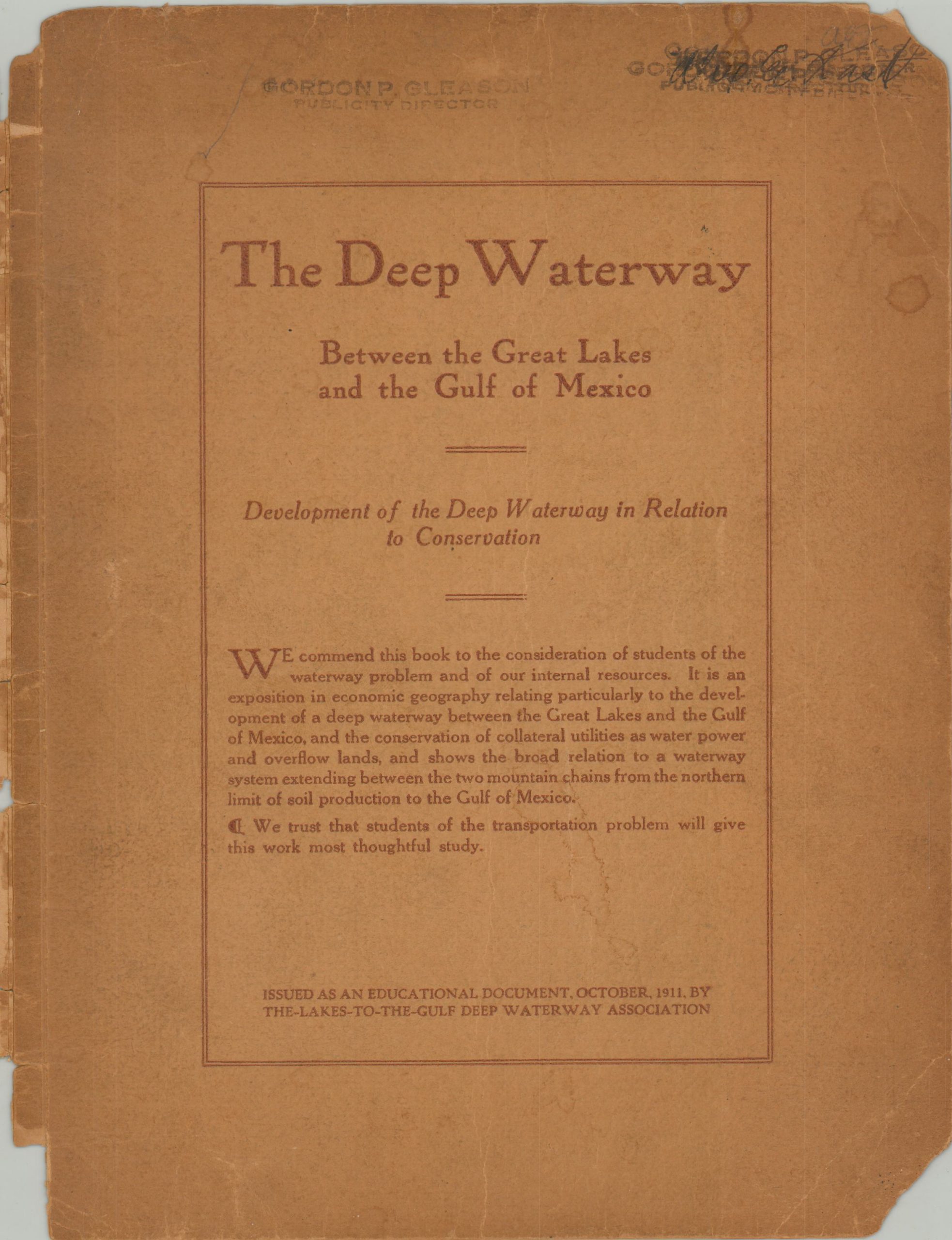
“We commend this book to the consideration of students of the waterway problem and of our internal resources. It is an exposition in economic geography relating particularly to the development of a deep waterway between the Great Lakes and the Gulf of Mexico, and the conservation of collateral utilities as water power and overflow lands, and shows the broad relation to a waterway system extending between the two mountain chains from the northern limit of soil production to the Gulf of Mexico.” [Front cover].
This fascinating booklet was published in St. Louis in 1911 by The-Lakes-to-the-Gulf Deep Waterway Association. The private organization was organized in 1906 “for the development of a deep waterway trunk line from Chicago to the Gulf of Mexico, by way of the Des Plaines, Illinois, and Mississippi Rivers, and the co-operation in the development of the collateral feeders”, according to text on the back cover.
Its 49 pages present a persuasive argument for government investment in such a monumental infrastructure project; with select extracts from previous presidents on the importance of national maritime commerce, a copy of an address by Consulting Engineer Lyman E. Cooly on ‘The Waterway Problem’, and a statistical report ‘showing the greatness of the Mississippi Valley’ by Oscar Austin, Chief of the Bureau of Statistics.
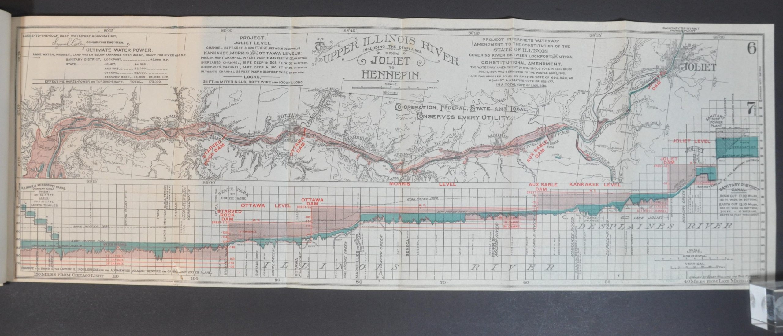
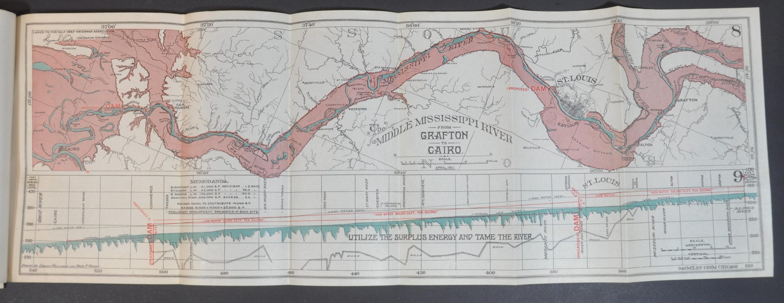
Thirteen folding plates supplement the argument and are titled as follows: Interior Coast Lines and the Inland Sea – Map; Relative Resources (in terms of) France or Germany – Map; The Greater Mississippi River – Map; Topography of the United States of America – Map; Continental Waterway – Gulf to Gulf – Profile; Waterway and the Alluvial Lands – Map; Waterway – Chicago to Cairo – Profile; Upper Illinois River – Joliet to Hennepin – Map; Upper Illinois River – Joliet to Hennepin – Profile; Middle Mississippi River – Grafton to Cairo – Map; Middle Mississippi River – Grafton to Cairo – Profile; Basin of the Great Lakes above Niagara – Map; Characteristic Canal Sections – Diagram; Characteristic Canal Locks – Diagram; Types of Shipping in Proposed Lock;
Source: The Journal of Political Economy
Map Details
Publication Date: 1911
Author: The-Lakes-to-the-Gulf Deep Waterway Association
Sheet Width (in): See Description
Sheet Height (in): See Description
Condition: A-
Condition Description: 50 pp. stapled report separated from its original stiff brown paper wraps, which are present, but moderately worn, chipped, and toned. Old stamps from the City of Chicago Municipal Library. Complete, with all 13 folding maps and charts. The first has a 2" tear where bound and a second has minimal paper loss from old worming. Otherwise contents are very good.
$275.00
1 in stock


