Southern Railway System
$150.00
“Look Ahead – Look South” [Motto of the Southern Railways]
1 in stock
Description
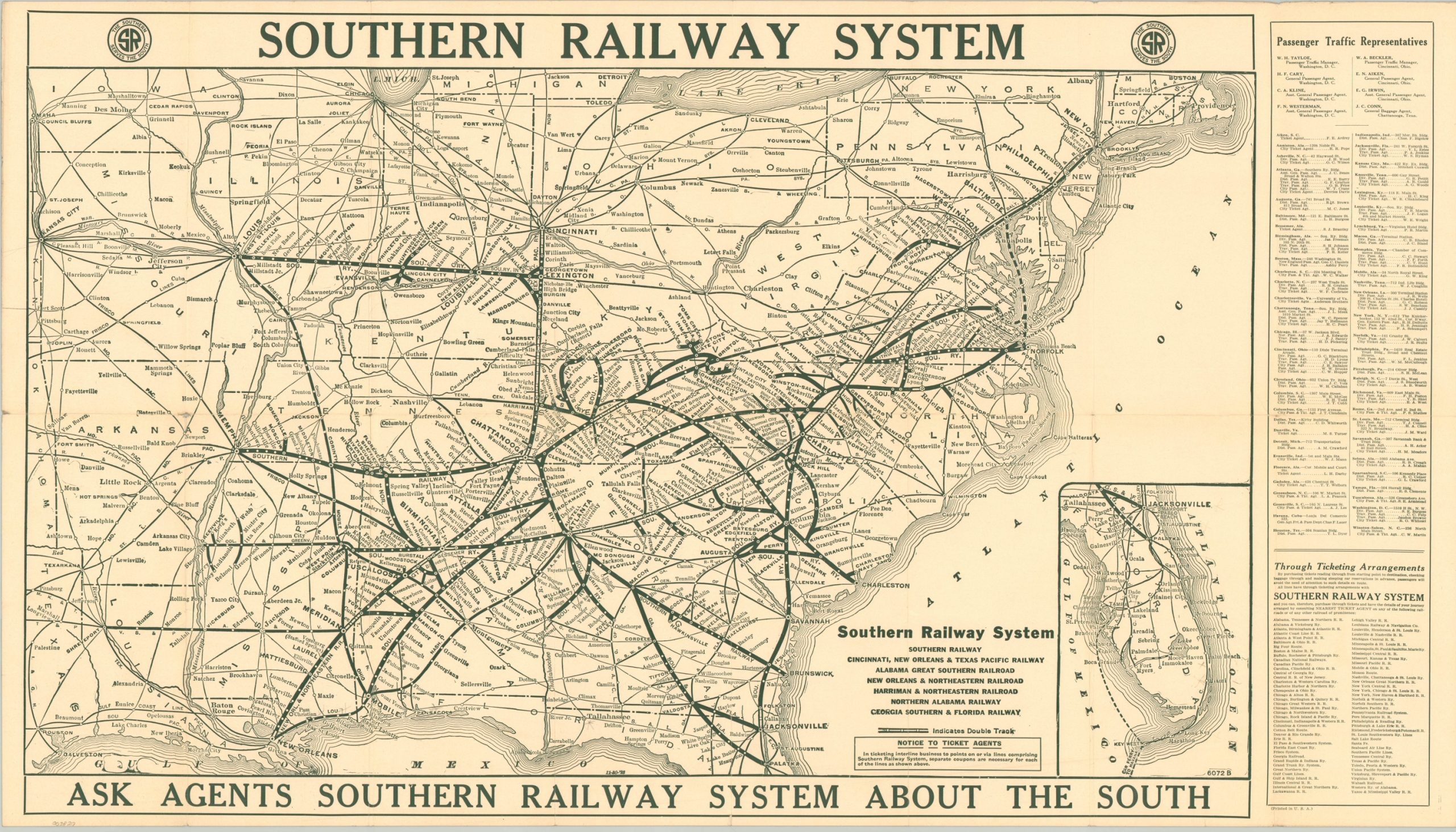
This folding railroad map shows the network of the Southern Railway System in operation across the eastern United States as of November 1923. Nearly 8,000 miles of track crosses fourteen states, the borders of which have been heavily skewed to best fit the route lines and their stops.
Major cities served include St. Louis, New Orleans, Jacksonville, Charlotte, Philadelphia, Louisville, and Birmingham. Double tracks, as well as connecting and leased lines, are also noted. An inset map in the lower right shows the network in southern Florida, while tables on the right side list the contact information of railway passenger representatives and ticketing arrangements.
A bold line on the bottom encourages the audience to ‘Ask Agents Southern Railway System About the South’, emphasizing the customer service. Finally, photographs and descriptive text on the verso highlight many of the various attractions available along the Southern Railway System, including Lookout Mountain (Chattanooga), the Grove Park Inn (Asheville), and the Capitol Building in Washington, D.C.
Designed and published in 1923 by the Southern Railway System, probably in Washington, D.C. (company headquarters).
Source: Southern Railway System
Map Details
Publication Date: 1923
Author: The Southern Railway
Sheet Width (in): 31.9
Sheet Height (in): 18.1
Condition: B+
Condition Description: System map and timetables formerly folded into 14 panels. Moderate wear and creasing along former fold lines, including small spots of separation at fold intersections, tiny edge tears, and faint discoloration. Good to very good overall.
$150.00
1 in stock

