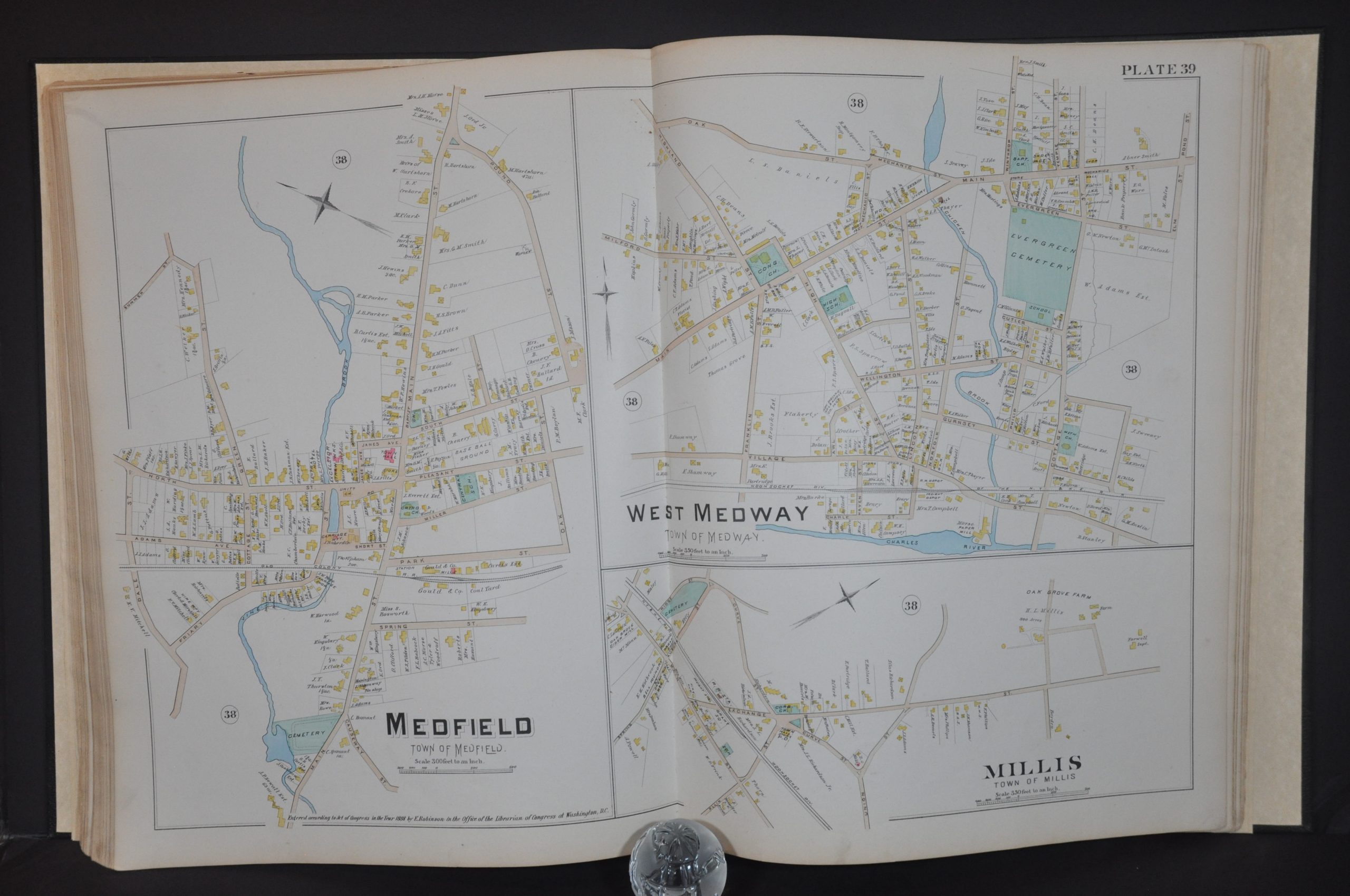
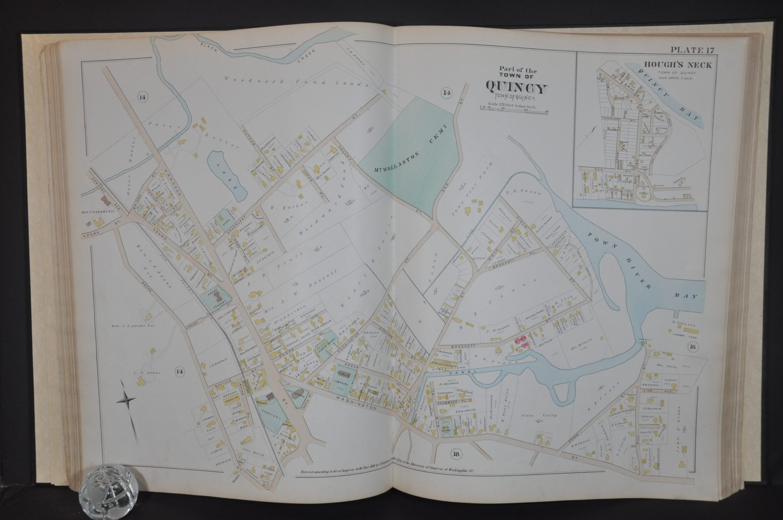
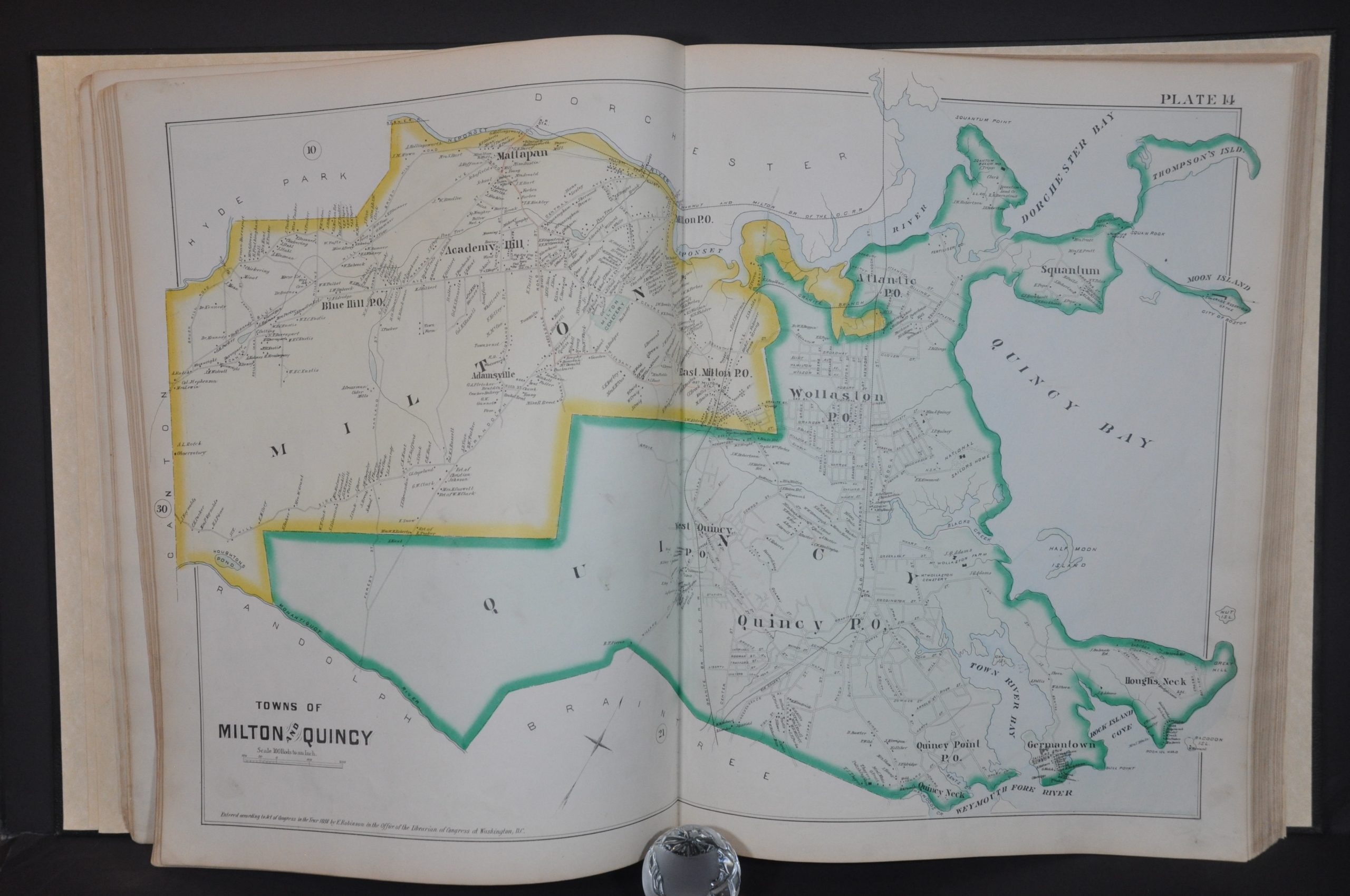
Robinson’s Atlas of Norfolk County Massachusetts
$800.00
Fire insurance atlas of Norfolk County from 1888.
1 in stock
Description
“Fire insurance maps date from 1867 to the present and depict the commercial, industrial, and residential sections of tens of thousands of cities in the United States, Canada, and Mexico. Maps were designed to assist fire insurance agents to determine the degree of hazard for a property. The maps show the size, shape, and construction of dwellings, commercial buildings, and factories as well as fire walls, locations of windows and doors, sprinkler systems, and types of roofs.
The maps also indicate widths and names of streets, property boundaries, building use, house and block numbers, and location of fire hydrants. Today, these maps serve as valuable resources for historians, planners, preservationists, genealogists and urban geographers.” – University of Wisconsin-Milwaukee.
This incredibly detailed atlas of Norfolk County, Massachusetts was published in New York by Elisha Robinson in 1888. It provides a comprehensive overview of the region’s physical composition in the midst of the Gilded Age. Each of the double-page maps displays a wealth of information about the infrastructure, buildings, lots, and transportation routes available to local residents at the time.
Map Details
Publication Date: 1888
Author: Elisha Robinson
Sheet Width (in): 15.5
Sheet Height (in): 20.25
Condition: A-
Condition Description: Rebound in new quarter black leather and black cloth with gilt accents. A portion of the original embossed cover is adhered to the front board. New endpapers and flyleafs. Title page is heavily soiled and has the left margin restored and reinforced. Contents show scattered wear and soiling in the margins, consistent with age and use. A few small edge tears are confined to the margins, and there are a handful of spots within the image on a few sheets. Complete, with 45 double page plates (including the outline map) featuring original hand color. An old photograph of a map of Dedham, about 11" x 13.5" has been tipped into the binding immediately before the respective city plan. Very good overall
$800.00
1 in stock


