New England and New York
$65.00
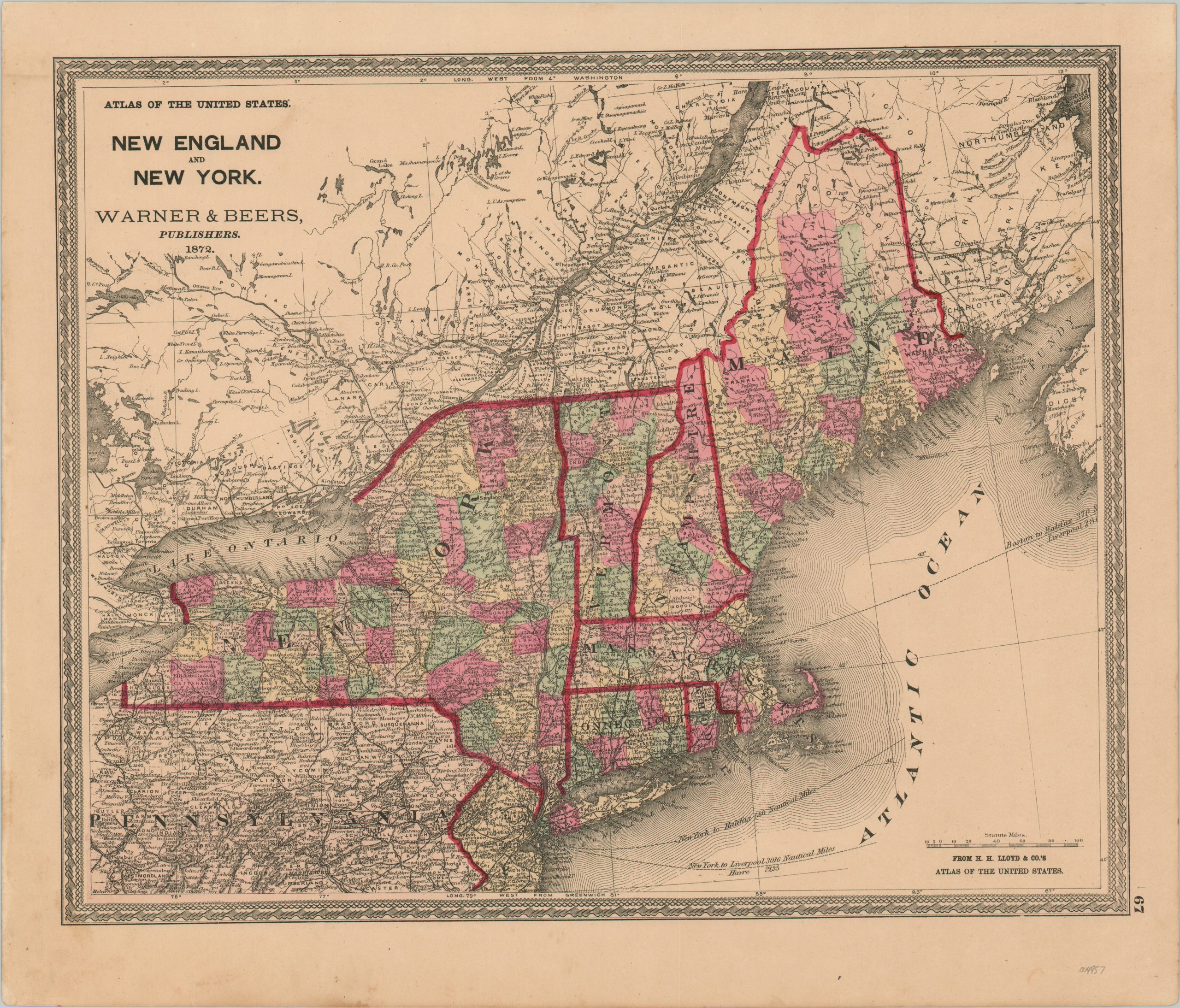
New England in the early 1870s.
1 in stock
Description
This finely engraved map of New England presents the states of New York, Connecticut, Rhode Island, Massachusetts, Vermont, New Hampshire, and Maine in vibrant original color. Railroads are shown prominently connecting much of the region, though the northern extremities of Maine remain quite remote. Steamer routes are also noted.
A fascinating variety of toponyms identify settlements, geographic features, and other locations of interest throughout the image. Topography is depicted in hachure, emphasizing the rugged terrain across Pennsylvania and in upstate New York.
The map was published in Chicago by Warner & Beers in 1872 as part of H.H. Lloyd’s Atlas of the United States.
Map Details
Publication Date: 1872
Author: H.H. Lloyd
Sheet Width (in): 18
Sheet Height (in): 15.25
Condition: A-
Condition Description: Scattered soiling visible in the margins, most evident in the lower left corner. A few small spots in the image, but remains in very good condition, with original color.
$65.00
1 in stock

