Motor Tours The Guide You Need Giving Automobile Routes of New York New England, Canada, and States South to Washington, and West to Chicago
$75.00
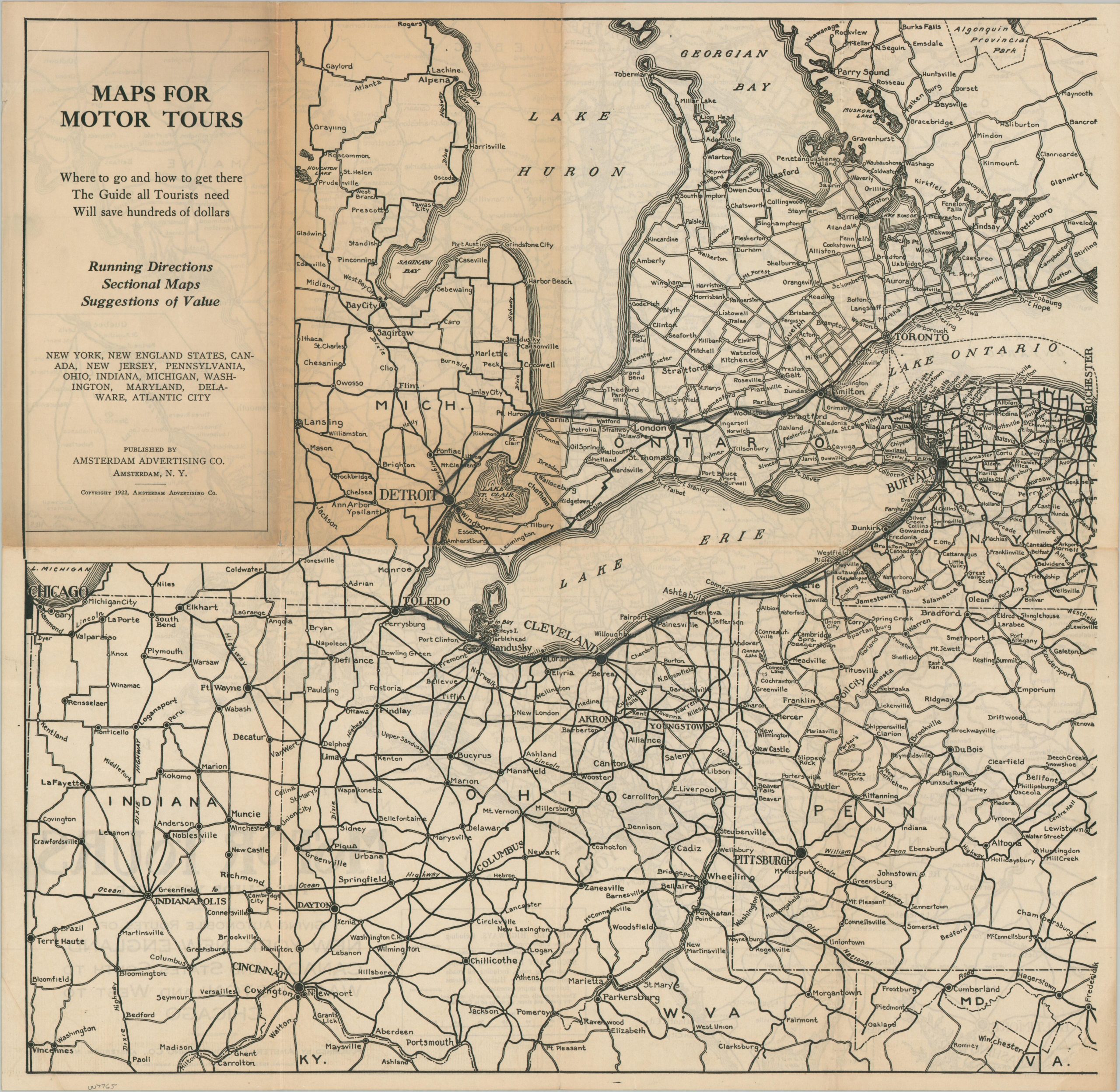
An early and uncommon road map from the 1920s.
1 in stock

Description
This somewhat spartan road map of the northeastern United States and southern Canada was copyrighted and published in 1922 by the Amsterdam Advertising Company of Amsterdam, New York. Two styles of lines, representing improved (paved) and secondary (mostly dirt) highways, offer a rudimentary overview of the network in the region best served by the publishers. Given the relatively small scale (1″ = ~25 miles), the piece was likely more of an attempt to capitalize on the increasing enthusiasm for motor tourism than an effort to offer a practical road guide from the East Coast to the Great Lakes.
Map Details
Publication Date: 1922
Author: Amsterdam Advertising Company
Sheet Width (in): 17.75
Sheet Height (in): 17.50
Condition: B
Condition Description: Double sided map with heavy toning on what was the front and covers (see scan). Moderate wear and creasing (including the corners). Good condition overall.
$75.00
1 in stock