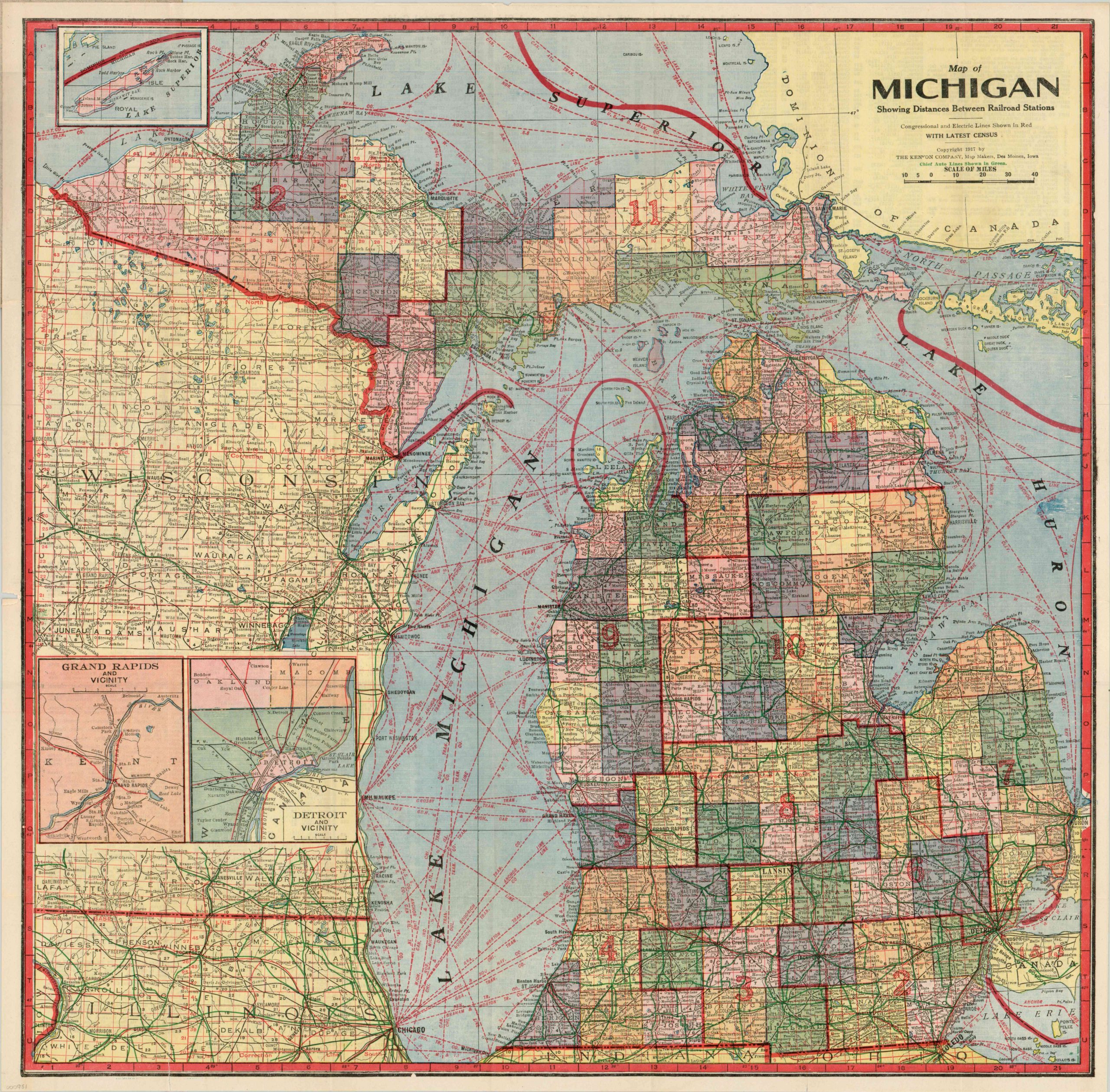
Map of Michigan Showing Distances Between Railroad Stations
$100.00
Early 20th century commercial and transportation map of Michigan.
Description
This lovely pocket map of Michigan was published in 1917 by The Kenyon Company of Des Moines, Iowa. It’s a fascinating representation of Michigan on the cusp of the modern era. Dense text is crammed amid innumerable lines of red, green, and black, which represent competing forms of transportation and commerce throughout the state.
Chief automobile routes, not representing any formal organized network, can be seen converging in the rapidly developing urban areas, where the industry had taken root with the establishment of companies like Olds and Ford. The sheet includes inset maps of Grand Rapids and Detroit, and the verso lists an index of the towns and postal codes.
Map Details
Publication Date: 1917
Author: The Kenyon Map Company
Sheet Width (in): 21.00
Sheet Height (in): 21.00
Condition: A-
Condition Description: Fold lines as issued and a few intersections have small pinholes. One 2" tear along a fold in Illinois, repaired with archival tape on the verso. Otherwise near fine condition with original paper covers in good shape, slightly worn around the edges.
$100.00