
Map of Boston
$195.00
The first operational subway tunnel in North America.
1 in stock

Description
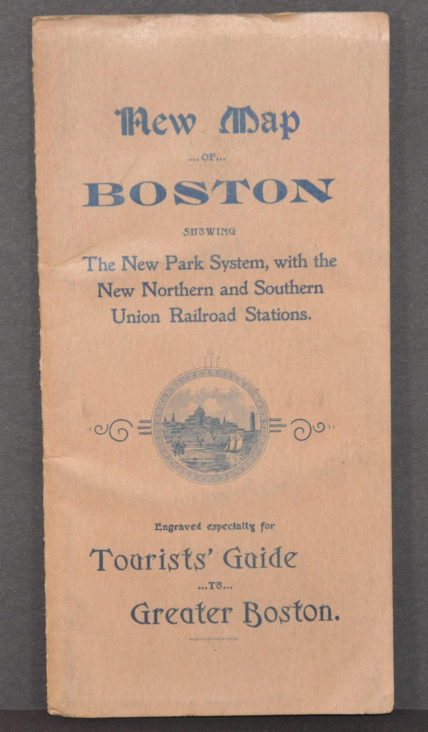
This detailed pocket map of Boston, Massachusetts shows a fascinating snapshot of ‘The City on a Hill’ near the end of the 19th century. Various neighborhoods around the harbor and St. Charles River are boldly labeled (along with the U.S. Hotel), while more diminutive typography identifies streets, wharves, and geographic features. The naming extends to the level of individual buildings like breweries, schools, hotels, museums, and much more.
The same year as the map’s publication, the Tremont Street Subway opened for operation – the first in North America. At least two stations are identified near the Public Gardens and the route is faintly defined as a solid line. Other transportation options such as railroads, steamship routes, and interurban lines are also noted throughout. Green lithographic color highlights parks, cemeteries, boulevards, and other public outdoor spaces.
The map was engraved and copywritten by George H. Walker & Co. in 1897 for express use in M.F. Sweetser’s New Guide to Greater Boston. This example was issued as a separate sheet, printed by Brooks Bank Note Company, and remains affixed to the original stiff paper covers. Views of the Broadway Central Hotel and U.S. Hotel can be seen on the back.
Source: First Subway in America.
Map Details
Publication Date: 1897
Author: George H. Walker & Co.
Sheet Width (in): 26.5
Sheet Height (in): 28.25
Condition: A
Condition Description: Pocket map folded into 32 panels and affixed to original brown stiff paper wraps. Paper has faintly toned and stiffened with age, causing some moderate creasing, but overall in very good shape. Small pinholes at fold intersections and light discoloration confined to the outer edges of the sheet.
$195.00
1 in stock