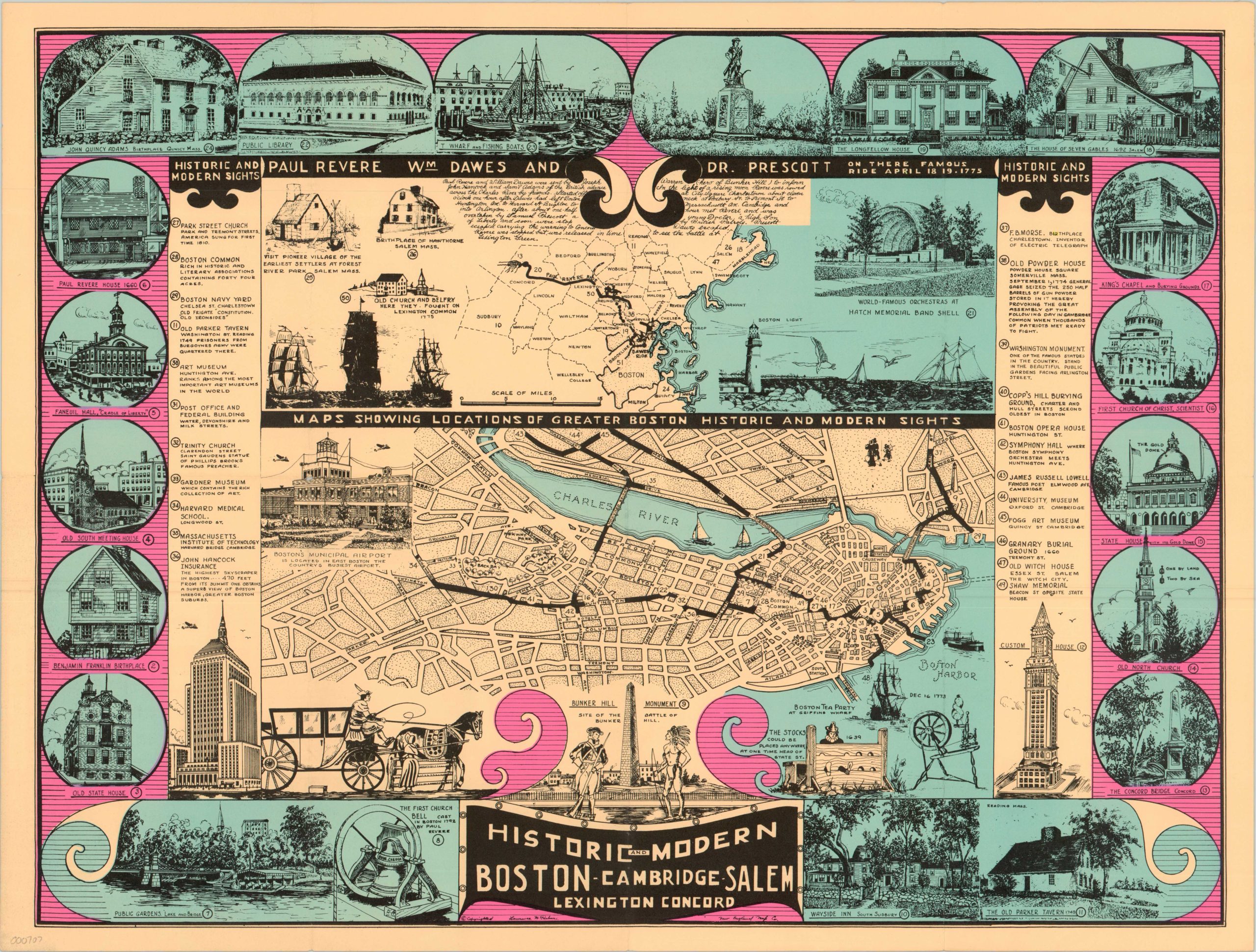
Historic and Modern Boston, Cambridge, Salem, Lexington, Concord
Informative souvenir map of Boston and the surrounding area depicting the famous route of Paul Revere’s midnight ride.
Out of stock
Description
Published over 300 years after the city was founded, this map of Boston, Cambridge, Salem, Lexington & Concord splits its focus between historical and modern aspects of the region. Illustrations of important places including the Old State House, first Christian Science Church and Faneuil Hall flank the border and are numbered alongside other locations of note representing cultural, industrial and economic growth since the cities founding. The upper half of the sheet is devoted to a map and description of the ride of Paul Revere, William Dawes and Samuel Prescott, while the lower half is a map of the Greater Boston Area.
Map Details
Publication Date: 1931
Author: Lawrence H. Parker
Sheet Width (in): 22.00
Sheet Height (in): 16.70
Condition: A-
Condition Description: Fold lines as issued and two small holes at folder intersections towards the center of the map.
Out of stock

