Highways Map of Eastern Canada and Adjacent States
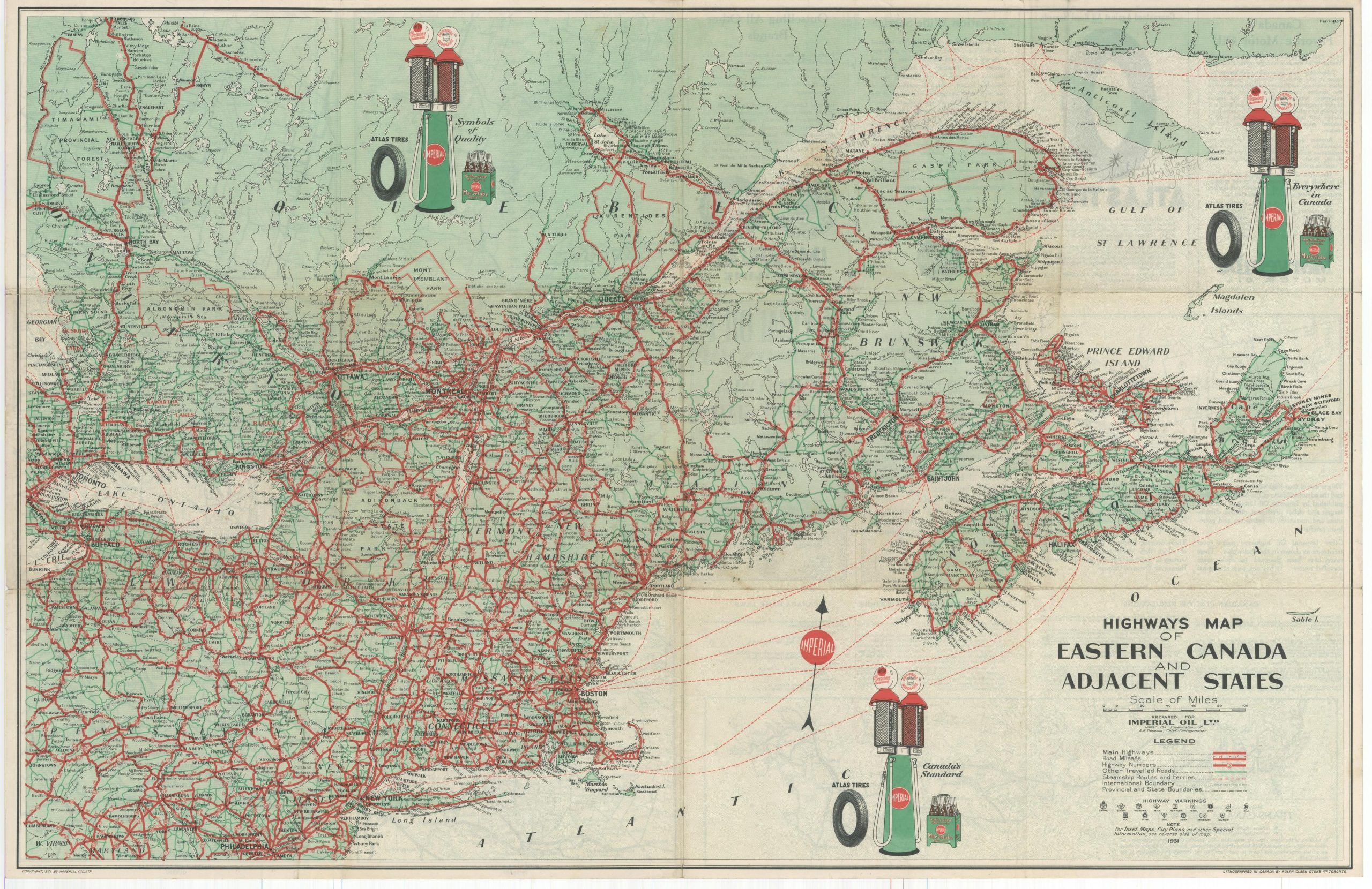
The roads along the St. Lawrence in the early 1930s, courtesy of Imperial Oil.
Out of stock
Description
This boldly colored road map was designed by cartographer A.R. Thompson and lithographed in Toronto by Rolph Clark Stone, Ltd. in 1931. It was prepared exclusively for Imperial Oil, established in 1880 and today Canada’s second-largest petroleum producer.
Primary highways are highlighted in red and numbered, where applicable. Distances between points are noted. Other traveled roads, steamship and ferry routes, and boundary lines are outlined according to the legend in the lower right. Immediately below, the various pole markers for each U.S. state and Canadian province are displayed.
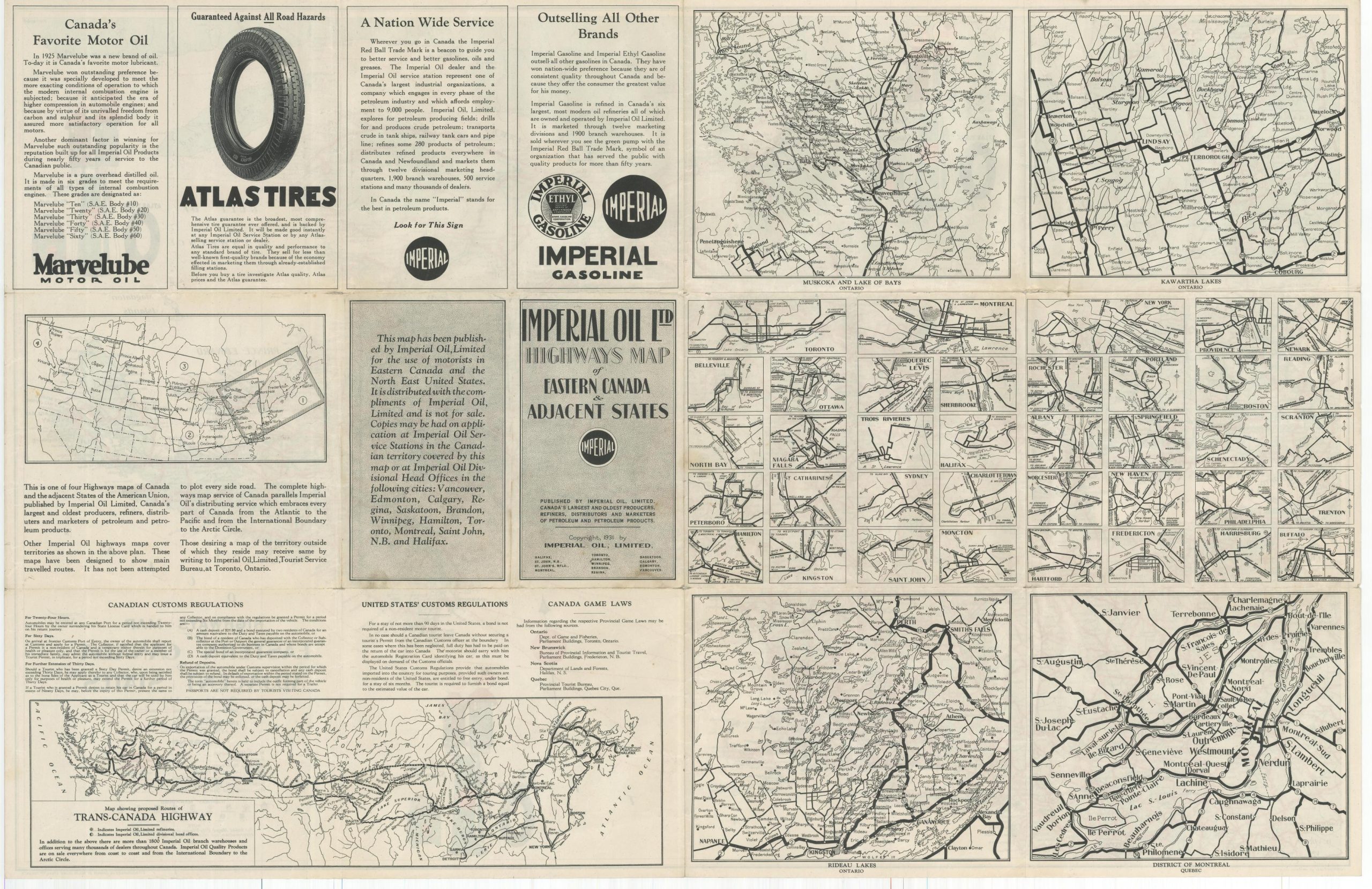
Illustrated advertisements and Imperial Oil Products are featured throughout and the verso includes a variety of inset maps, city plans, and additional information for the automobile tourist.
Map Details
Publication Date: 1931
Author: A.R. Thompson
Sheet Width (in): 32.25
Sheet Height (in): 22.5
Condition: B+
Condition Description: Moderate wear and creasing along originally issued fold lines. Small spots of separation at fold intersections and tiny tears (confined to the margins) around the outer edges of the sheet. Manuscript annotations in pencil in the upper right. Good to very good overall.
Out of stock


