Geologic Map of Massachusetts and Rhode Island
$110.00
Some wicked hawd rocks around Mass, I’m tellin’ ya.
1 in stock
Description
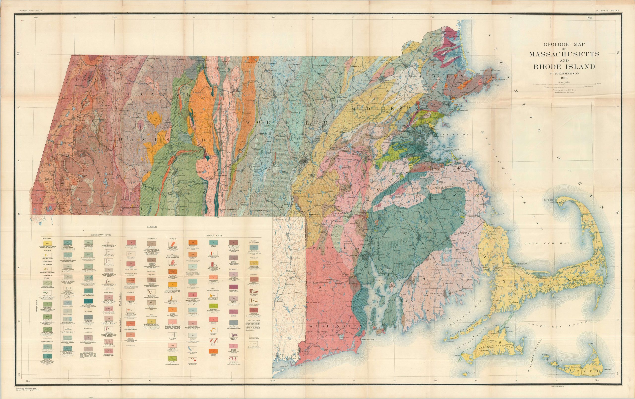
This massive geological map uses vibrant printed color to highlight the deposits of igneous and sedimentary rocks across the states of Massachusetts and Rhode Island. An extensive key in the lower left outlines the various shades and symbols used within the image. Towns, the railroad network, and prominent geographic features are also labeled.
The map was designed in 1916 by the noted American geologist Benjamin Kendall Emerson, using a base map from the U.S.G.S. Lithographed by Auguste Hoen & Company of Baltimore.
Map Details
Publication Date: 1916
Author: Benjamin Kendall Emerson
Sheet Width (in): 51.50
Sheet Height (in): 32.50
Condition: A-
Condition Description: Large, single-sided chromolithograph sheet with moderate wear along original folds, including scattered wrinkling, sharp creasing, small spots of separation at fold joints, and faint toning. Further light toning and a few tears visible in the margins. Very good condition overall.
$110.00
1 in stock