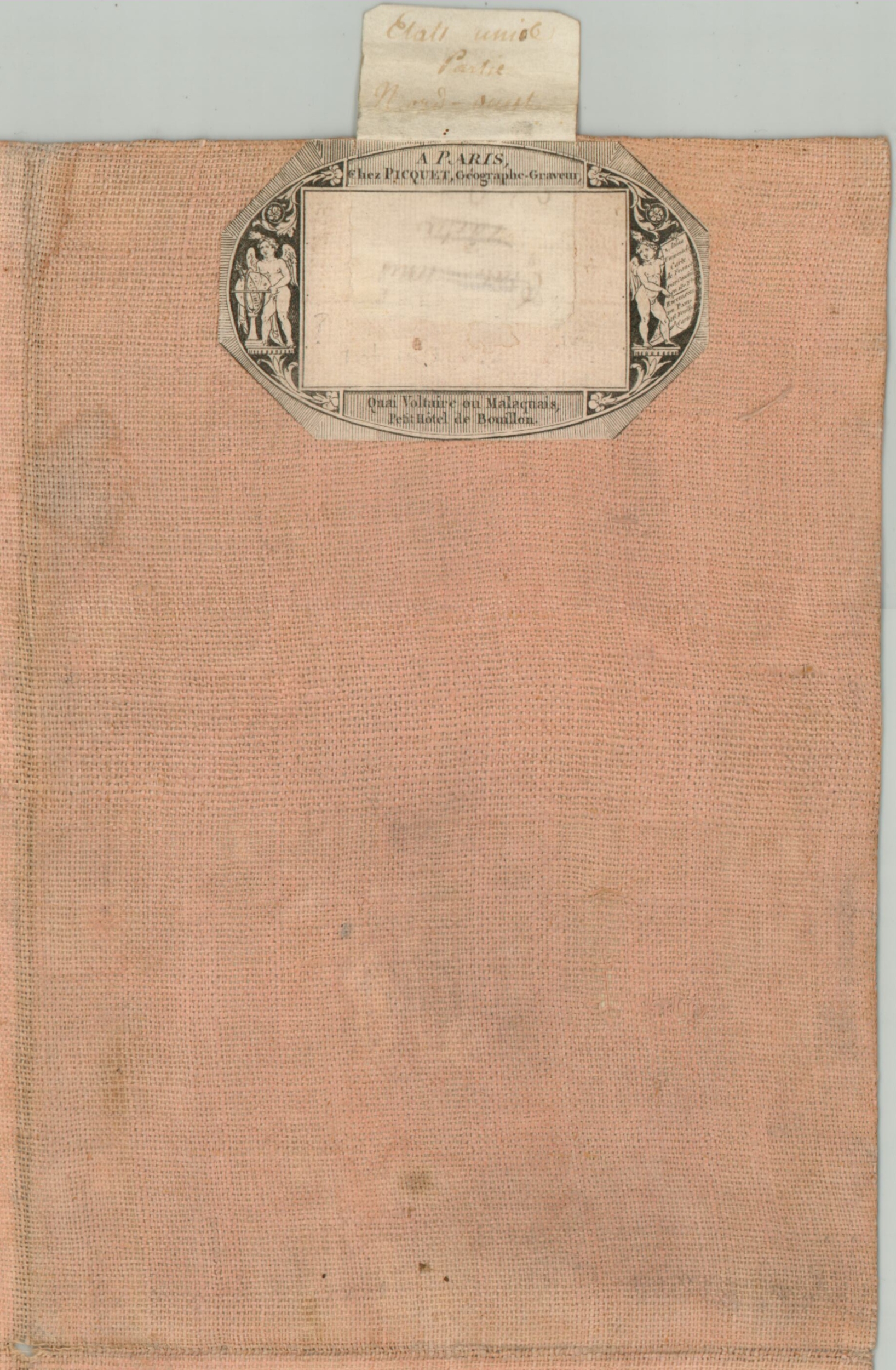
Etats Unis Partie Nord Ouest [Title on Verso]
Original price was: $1,400.00.$1,150.00Current price is: $1,150.00.
Uncommon French version of Arrowsmith’s influential map of the United States.
1 in stock
Description
This fascinating custom production is comprised of the northwest quadrant of Aaron Arrowsmith’s map of the United States, first issued in 1796. A later edition, likely published around 1802, it has been re-engraved by Pierre Tardieu and published by Charles Piquet in Paris, whose elaborate publisher’s stamp can be seen affixed to the verso.
The image shows the Northwest Territory just over a decade after it was first organized by the Northwest Ordinance of 1787, around the time of Lewis & Clark’s monumental expedition to explore the American West. (The first edition of Arrowsmith’s map was reviewed by the pair before their departure). Thick blue lines highlight national borders prior to the Louisiana Purchase, following the Mississippi River and southern border of Lakes Huron, Michigan, and Superior to the Lake of the Woods. Native American settlements, frontier fortifications, and geographic features are labeled throughout, providing a wonderful contemporary overview of the region. Scattered annotations, some translated into French, provide additional details such as the availability of local resources and the navigability of rivers and portages.
Though vast swathes of territory appear to be under the possession of various Native American tribes, the map gives some indication of ongoing tension between American settlers and indigenous peoples. The route of General Wilkinson’s march, Sinclair’s Defeat, and the Indian Boundary of 1795 are all identified – referencing the Northwest Indian War that ended with the Treaty of Greenville. At least one Sauk town along the Wisconsin River is noted as destroyed and both the Menominee and Winnebago are shown as having castles along the Fox River. The mostly blank western regions represent unknown lands hostile to further settlement, with the River Moin (Des Moines) noted as the route by which the Sioux would descend to the Mississippi.
Another item of note is the organization of Essex County in Upper Canada, at the eastern end of the page. The 1800 Act for the Better Division of the Province established the outlined townships, though the Proposed Fort had been completed by 1795 (Fort Malden). Land allotments for members of the Huron tribe as well as Loyalists during the American Revolutionary War are also labeled.
Sources: Tooley (Maps Of America), 172; Stevens & Tree 79(e); Drawing a Line in the Water; History of Essex County; Mapping Siouxland; Rumsey 3385.001 ; Library of Congress G3700 1796 .A62;
Map Details
Publication Date: c. 1802
Author: Aaron Arrowsmith/Pierre Tardieu
Sheet Width (in): 28.3
Sheet Height (in): 24.3
Condition: A
Condition Description: The northwest section of Arrowsmith's important map, re-issued in 15 dissected segments, mounted on linen with the original publisher's stamp on the verso. Light soiling in a few places, but otherwise in near fine condition overall. A bold impression with original outline color.
Original price was: $1,400.00.$1,150.00Current price is: $1,150.00.
1 in stock


