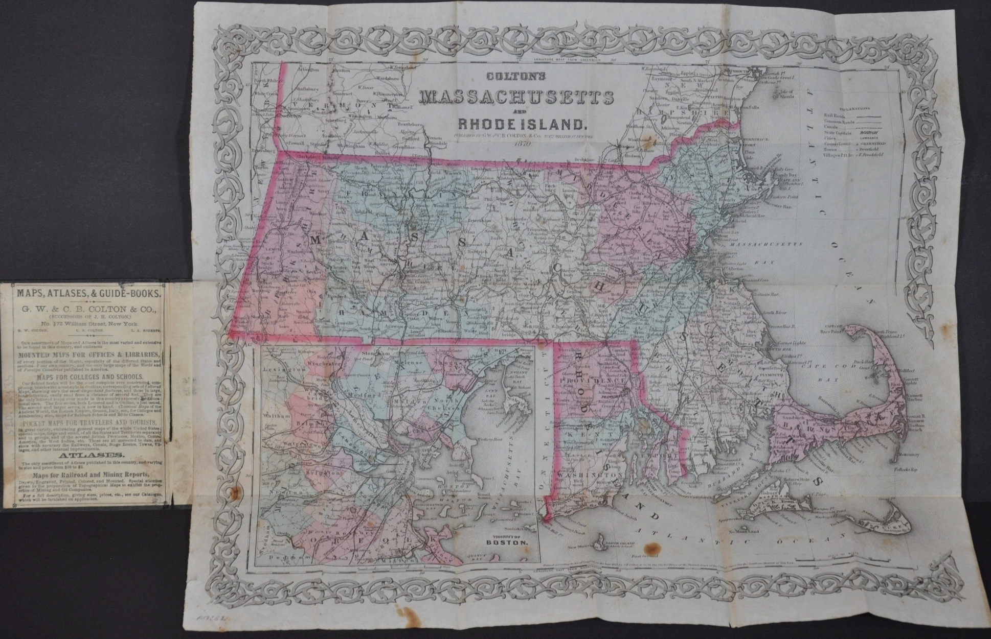
Colton’s Massachusetts and Rhode Island
$150.00
Massachusetts and Rhode Island shortly after the end of the Civil War.
1 in stock
Description
This detailed map of Rhode Island and Massachusetts was originally published in New York by J.H. Colton & Company in 1855, according to the text below the image. This particular example was updated by his heirs and published fifteen years later, though it shares many of the same characteristics of its predecessor.
Settlements of various sizes and geographic features are labeled, while transportation routes in the form of railroads (bold), canals (hashed), and roads (faint) are shown stretching to every corner of each state. Includes an inset map of the area around Boston in the lower left and the firm’s distinctive decorative border frames the entire map.
Map Details
Publication Date: 1870
Author: G.W. & C.B. Colton & Company
Sheet Width (in): 16.00
Sheet Height (in): 13.5
Condition: B
Condition Description: Pocket map remains affixed to its gilt brown embossed boards. Creasing and moderate discoloration along fold lines, plus several other areas of dark spotting within the image and along the outer margins. The sheet and covers remain intact and in strong condition, though the visual defects mar what would otherwise be a nice copy.
$150.00
1 in stock


