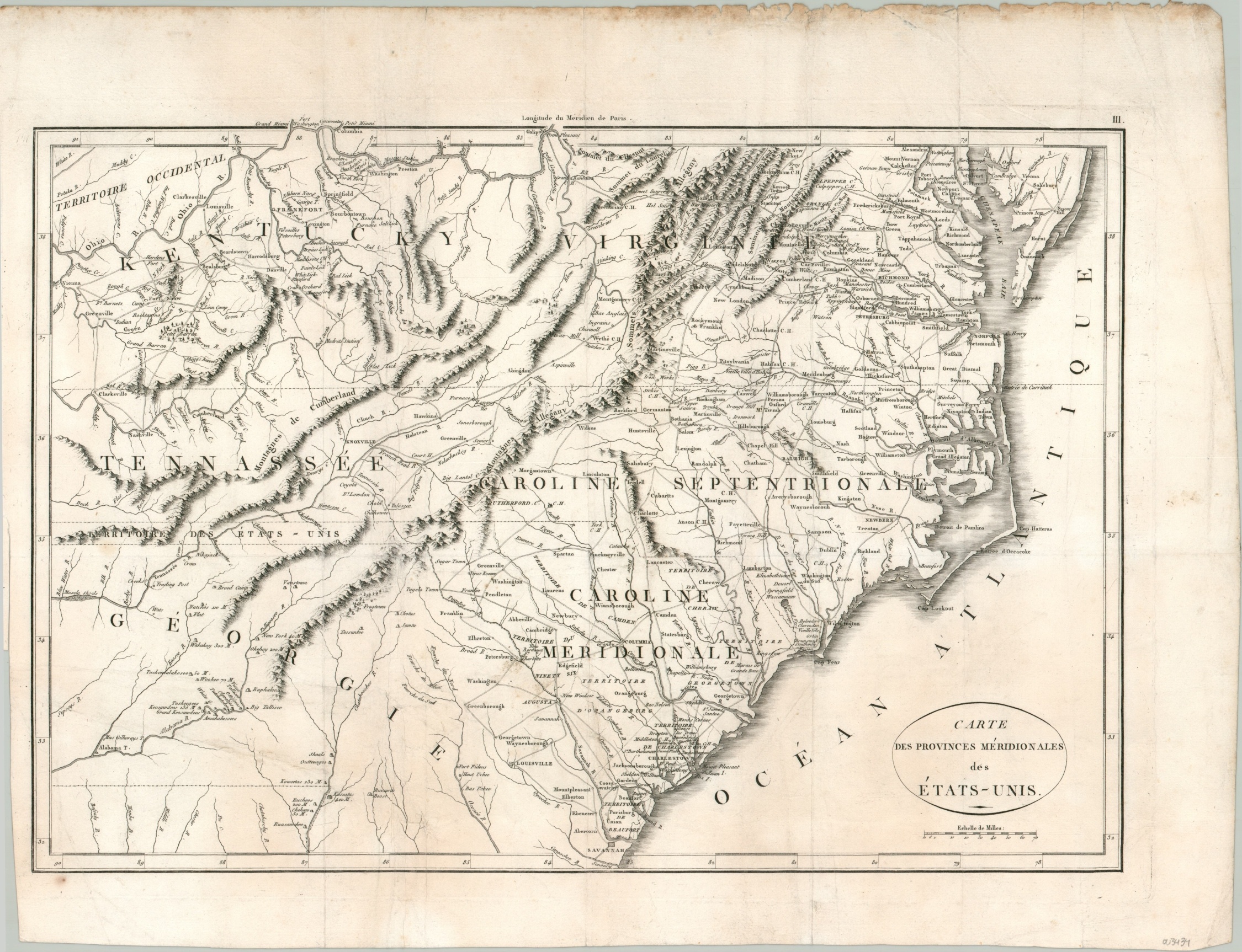
Carte des Provinces Meridionales des Etats-Unis
The southeastern United States just a few decades after the American Revolution.
Out of stock
Description
This detailed copperplate engraved map of the ‘Southern Provinces of the United States’ shows an interesting overview of the fledgling American Republic in the decades following independence. It includes the states of Kentucky, Virginia, North Carolina, South Carolina, Tennessee, and Georgia, with the ‘Western Territory’ shown in the far upper left. The image depicts the period around 1795, based on the borders, though it was published over a decade later.
White settlements are beginning to extend west, beyond the Alleghany Mountains, though the towns and road networks remain concentrated along the Atlantic seaboard and navigable rivers, like the Ohio. Frontier fortifications and trading posts are noted amid clusters of Native American villages, shown with small triangles. I’m unfamiliar with the numbers that accompany many of these villages, though it may indicate the number of healthy males living there.
The map was designed by J.N. Buache and published in the 1807 French edition of The Life of George Washington. Samuel Lewis created the maps in the American edition, though they were slightly smaller.
Map Details
Publication Date: 1807
Author: J.N. Buache
Sheet Width (in): 21.60
Sheet Height (in): 16.60
Condition: A-
Condition Description: Some separation along fold lines and at fold intersections have been professionally closed and repaired on the verso, though a bit of light discoloration remains along the former fold lines. 4" straight tear along the left margin from where previously bound and worn along the top edge of the sheet. Very good overall.
Out of stock

