Boston City Proper Street Guide
Fun prewar pocket map of Boston.
Out of stock
Description
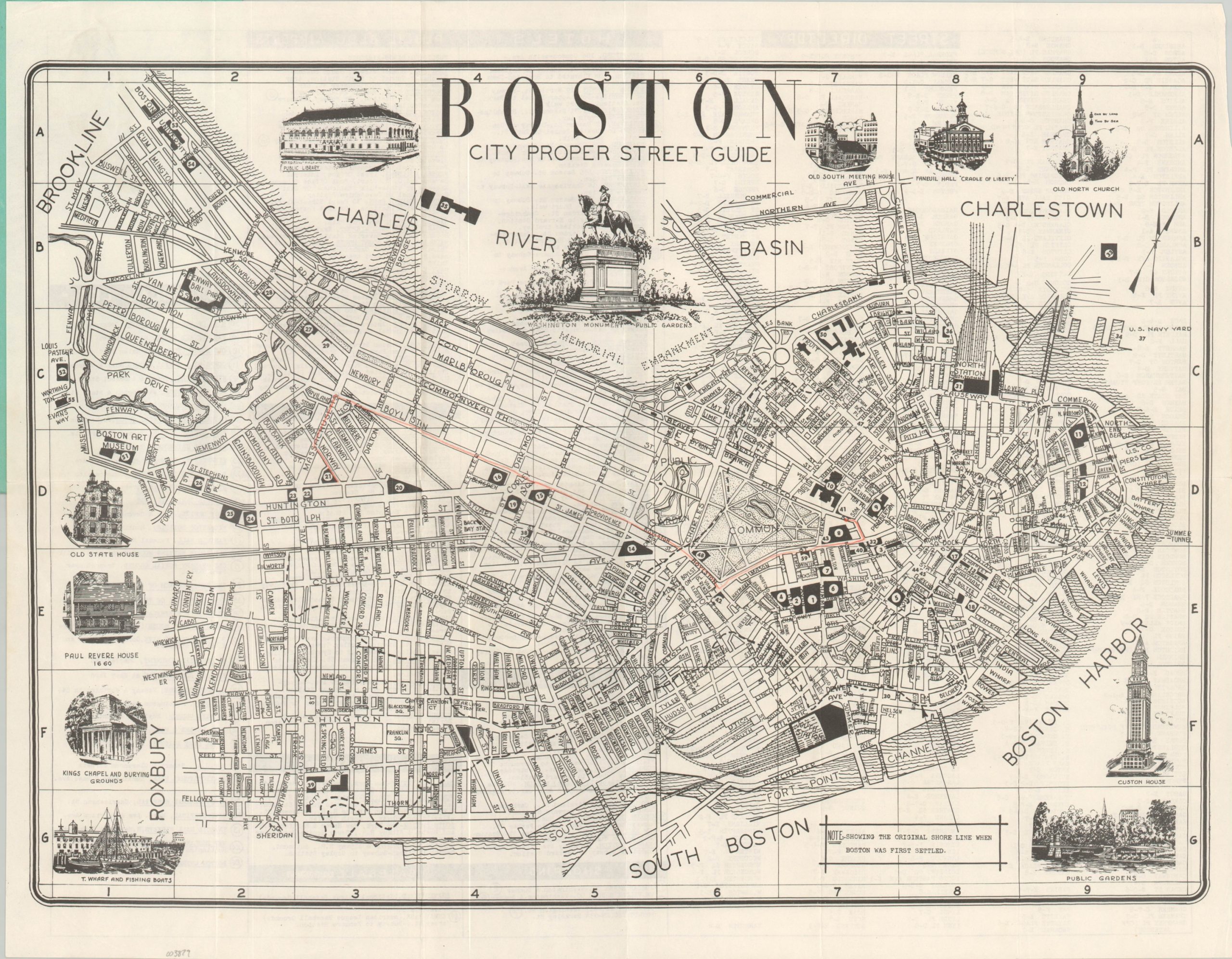
This Boston street map and tourist guide was published by the New England Map Company of Somerville, Massachusetts – likely in 1935 according to the printer’s code on the back cover and the absence of the Museum of Modern Art, founded in 1936. The image presents a plan of the city with streets, parks, and public buildings individually labeled. Over fifty locations are shaded and numbered, with further details provided on the verso.
Dotted lines distinguish the approximate location of the original shoreline when Boston was first settled, showing just how much the footprint had grown in the intervening centuries. Attractive vignettes surround the map and highlight several popular historic sites including the Custom House, Faneuil Hall, Old North Church, and King’s Chapel.
In addition to serving as a legend for the numbered places, the verso also contains a street directory and a list of hotels, museums, theaters, transportation options, and baseball grounds. Here is another clue to the date of the map – the Boston Braves were sold to Bob Quinn in 1935 and he tried renaming the team to the Bees the following year (though it’s likely the stadium retained its original name).
Map Details
Publication Date: 1935
Author: Anonymous
Sheet Width (in): 21.5
Sheet Height (in): 16.75
Condition: A-
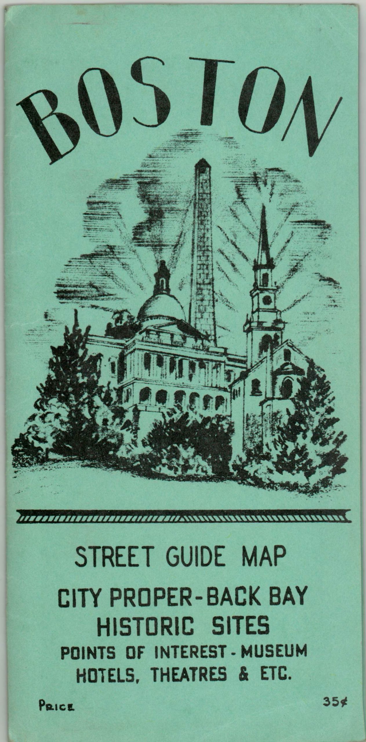
Condition Description: Pocket map that folds into 12 panels and remains affixed to original stiff blue paper wraps. Near fine save for one route brightly marked with orange pencil in the image.
Out of stock


