
Map of Boston Common with Surrounding Streets & Adjacent Parts of Beacon Hill
Stunning pictorial map of Boston with original envelope.
Out of stock

Description
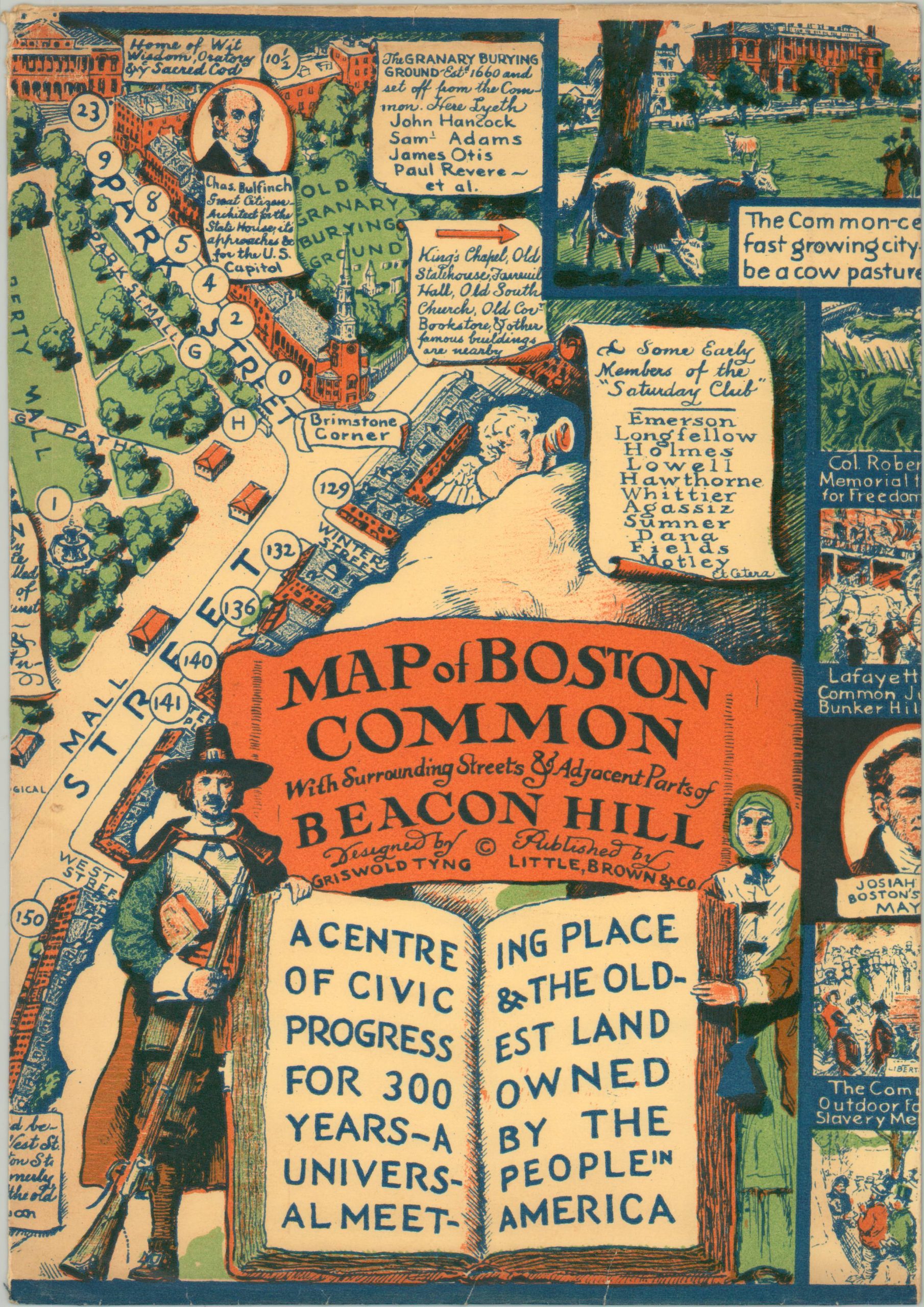
A center of civic progress for 300 years – a universal meeting place & the oldest land owned by the people in America. [envelope]
This incredible pictorial map of Boston was designed by Griswold Tyng and published around 1930 by Little, Brown & Co. in Boston to celebrate the city’s 300th anniversary. The image focuses on the area around Boston Common, the oldest city park in the United States. Dozens of different locations are numbered throughout and identified in the ‘directory or historic sites & existing points of interest’ in the lower right. Captioned portraits highlight famous residents and important figures from the region, while a ‘Pageant of Four Centuries’ near the lower center showcases gradual changes in local dress over time.
The border is comprised of illustrated vignettes that express the rich history and architecture around Boston Common. Interesting events that took place in the park include a ducking stool, coasting (sledding), and military recruiting. Scenes in three corners, beginning in the lower left, depict representative images from each century beginning in 1630, including an inset map of the Outskirts of Old Boston.
Map Details
Publication Date: c. 1930
Author: Griswold Tyng
Sheet Width (in): 27.75
Sheet Height (in): 21.75
Condition: A
Condition Description: Light creasing and faint wear along originally issued fold lines and a rubberstamp in the lower right margin. Near fine overall.
Out of stock