
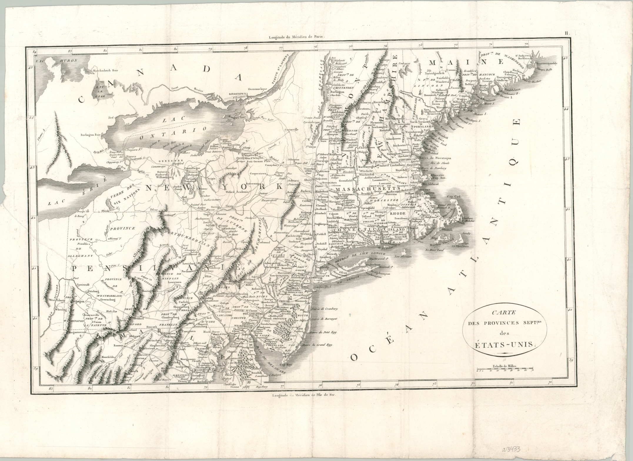
Carte des Provinces Sept des Etats-Unis
$295.00
A detailed map of New England published in the early 19th century.
1 in stock
Description
This finely engraved map of ‘the Northern Provinces of the United States’ shows an interesting overview of the fledgling American Republic in the decades following independence. The image depicts the period around 1792, based on the county outlines, though it was published over a decade later.
Small variations in the symbols used to denote settlements represent specific characteristics, such as capitals or amenities like schools, churches, or inns. Native American villages and fortifications can be found closer to the western borders – though its status as a wild frontier was quickly waning by the early 19th century. Other items of interest include local industries, an outlined District of Columbia, and Iroquois land in western New York.
The map was designed by J.N. Buache and published in the 1807 French edition of The Life of George Washington. Samuel Lewis created the maps in the American edition, though they were slightly smaller.
Map Details
Publication Date: 1807
Author: J.N. Buache
Sheet Width (in): 22.20
Sheet Height (in): 16.20
Condition: A-
Condition Description: A 5" diagonal tear on the left side and some wear along the centerfold have been professionally repaired on the verso and there's some minor discoloration along the former fold lines. Scattered soiling in the margins and a few spots of discoloration visible in the image, most evident in the Atlantic Ocean.
$295.00
1 in stock