West Indie’s
$125.00
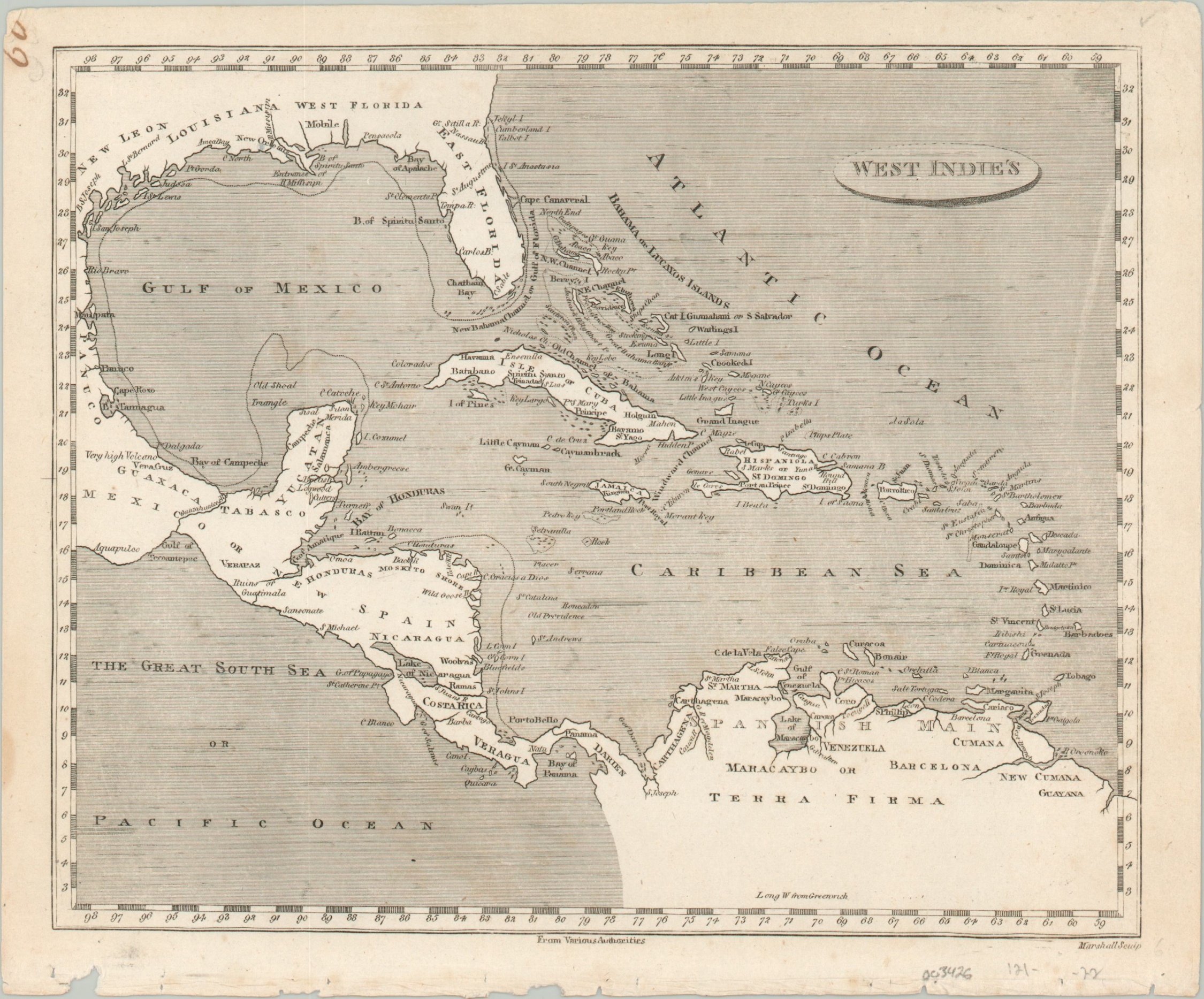
The Caribbean during the waning years of the slave trade.
1 in stock
Description
After Columbus’s momentous voyage of 1492 in which he claimed to have found India, Europeans began to call his discoveries the “West Indies” to distinguish them from the “East Indies” of southeast Asia. Though the error was made quickly apparent, the toponym would persist in our nomenclature to this day; though the modern conception generally only includes the island nations, and not Central America, Mexico, or the Gulf Coast.
This map shows the region in the early 19th century, though it’s based on cartography from a decade or so prior. Details are sparse outside of place names, maritime hazards, and geographic features.
Designed by Aaron Arrowsmith and Samuel Lewis and engraved by Thomas Marshall. Published in Philadelphia by Joseph Conrad in 1804, as part of A new and elegant general atlas…
Map Details
Publication Date: 1804
Author: Aaron Arrowsmith and Samuel Lewis
Sheet Width (in): 10.10
Sheet Height (in): 8.80
Condition: A-
Condition Description: Moderate wear, faint soiling, and a ragged lower edge are confined to the margins of the sheet. A bit of discoloration in the image from the plate strike, but overall in near fine condition.
$125.00
1 in stock

