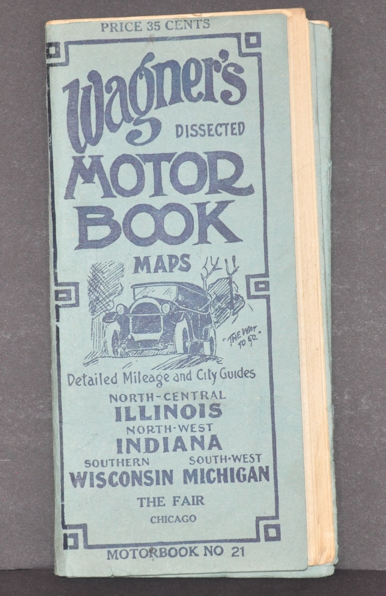
Wagner’s Dissected Motor Book Maps North-Central Illinois North-West Indiana Southern Wisconsin South-West Michigan
Complete road guide to the greater Chicagoland area from the early 1920’s.
Out of stock


Description
Designed to fit snugly in an automobile’s glove compartment, this ‘motorbook’ provides everything an intrepid motorist needs for navigating the rudimentary road systems across the upper Midwest. Pole markers identifying routes that pre-date the numbered highway system are illustrated on the front cover, with a legend immediately following.
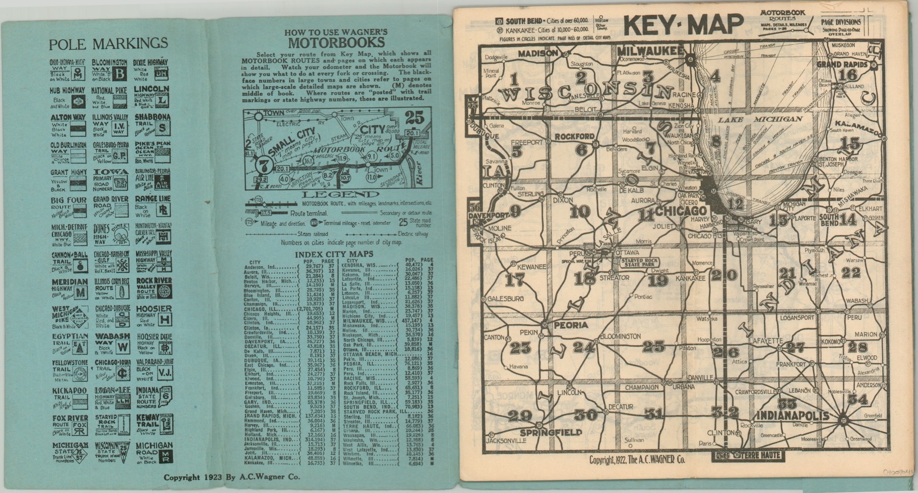
The key outlines the symbols used in the following 34 double-page maps, which show route terminals, distances between points, road numbers, and secondary transportation routes. Supplemental pages include city plans for dozens of the largest urban centers across the area, including Chicago, Indianapolis, Milwaukee, Madison, Davenport, Grand Rapids, and Springfield.
Published in Cincinnati by the A.C. Wagner Company in 1923.
Map Details
Publication Date: 1923
Author: A.C. Wagner
Sheet Width (in): See Description
Sheet Height (in): See Description
Condition: A-
Condition Description: 37 pp. brochure with stapled binding and blue paper covers, folded over once. Unfolded, each sheet measures approximately 8.25" x 8.5". Includes 34 maps, plus three pages of city plans and a key. Contents are separated from the covers but in very good condition overall.
Out of stock