United States of North America
$175.00
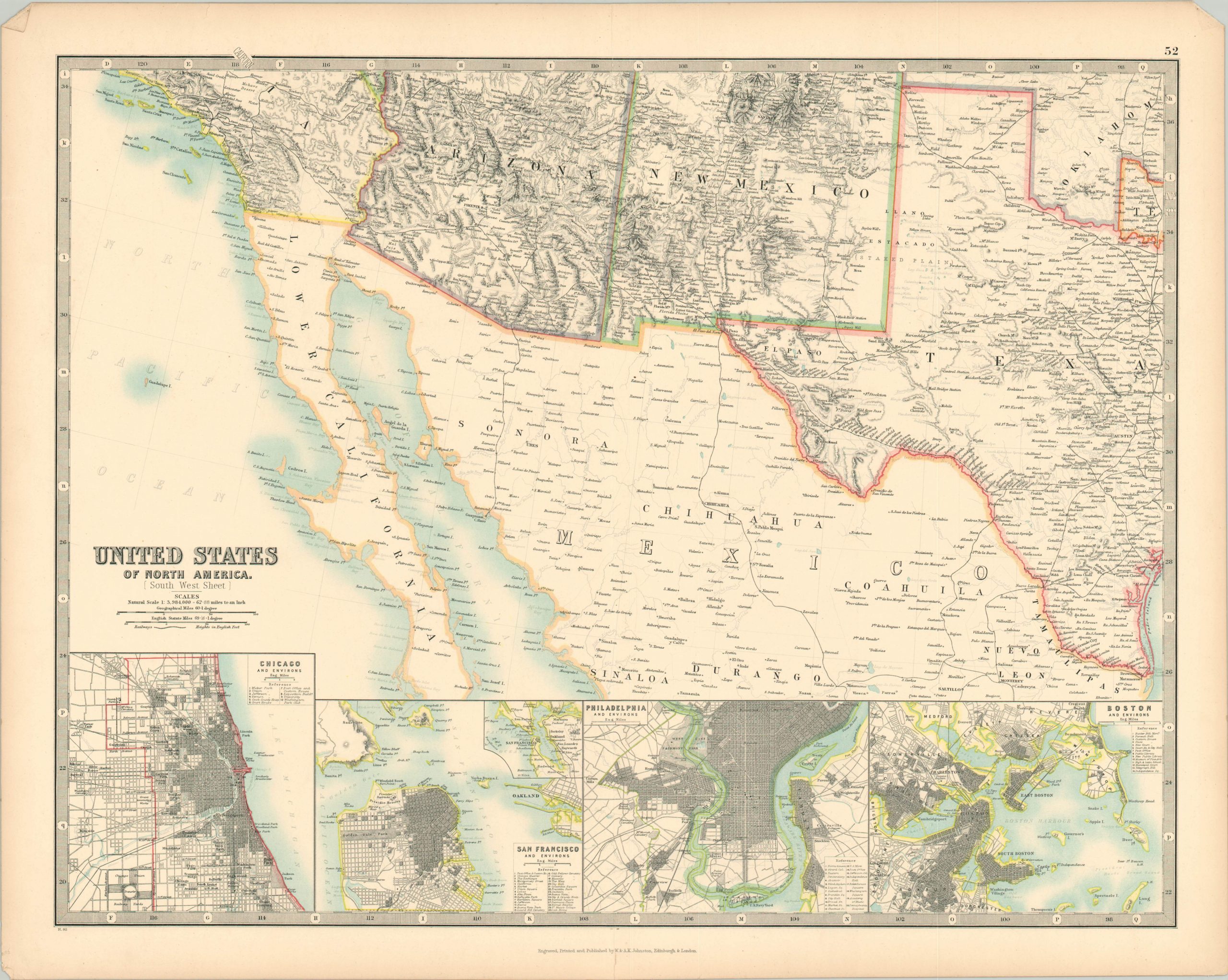
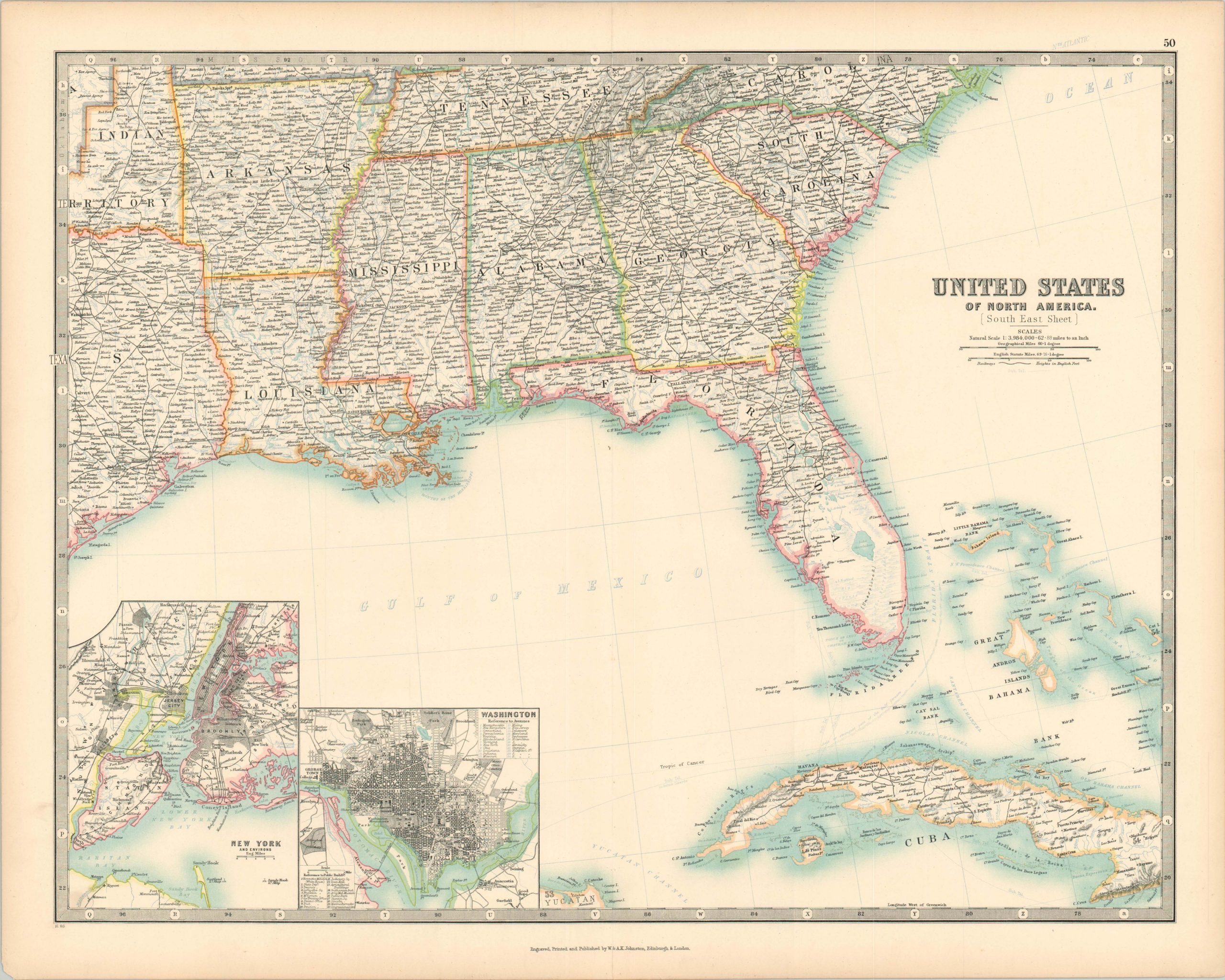
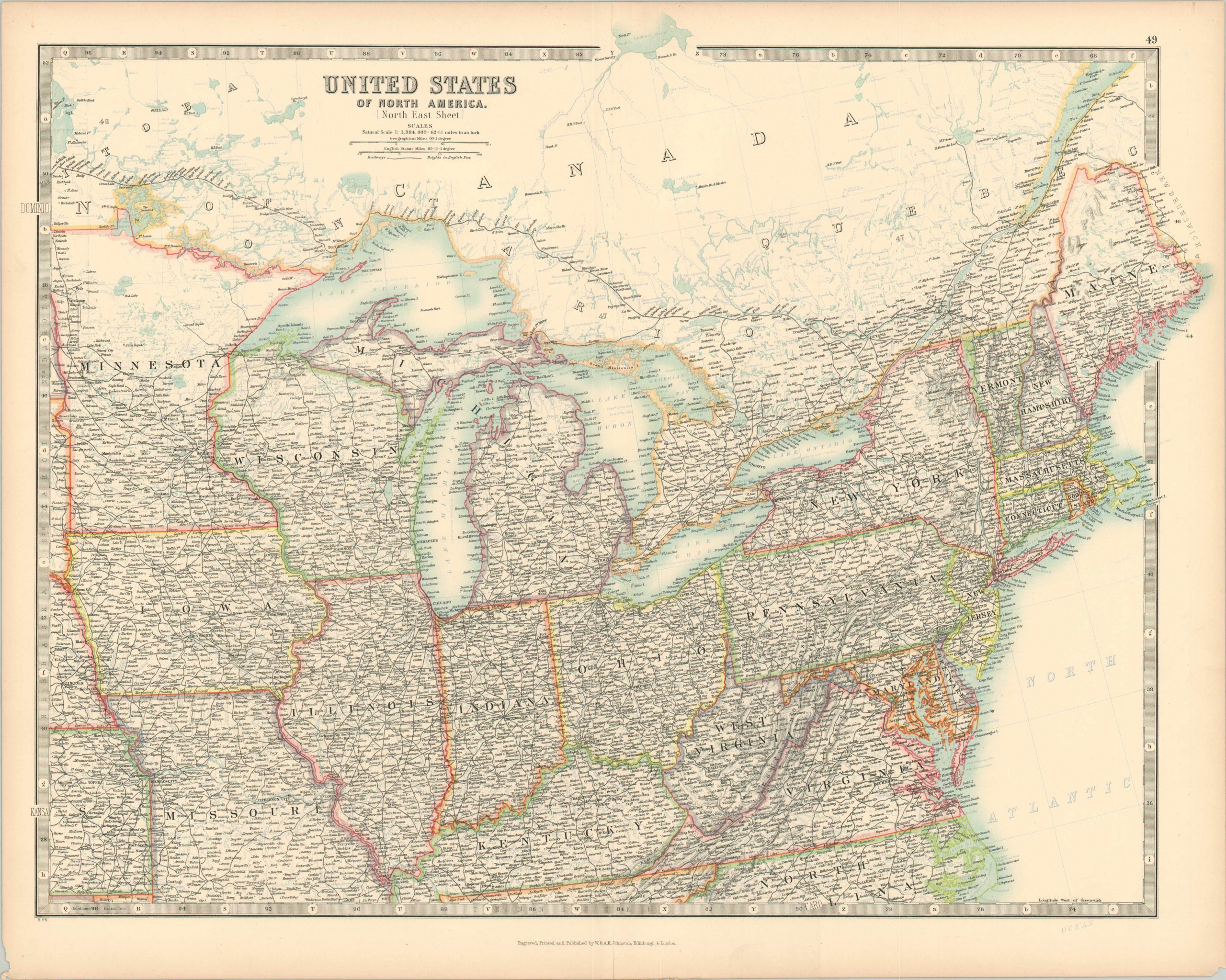
The United States engraved, published, & printed across four sheets.
1 in stock
Description
This fabulously detailed four sheet map of the United States was published in London or Edinburgh by the prominent cartographic firm of W. & A.K. Johnston late in the 19th century. The finely engraved steel plate images shows a wealth of information; including railroads, a myriad of place names, and major geographic features. The bottom two sheets features inset plans of some of America’s most important cities – Chicago, Washington D.C., New York, Philadelphia, San Francisco and Boston.
Map Details
Publication Date: c. 1890
Author: W. & A.K. Johnston
Sheet Width (in): See Description
Sheet Height (in):
Condition: A-
Condition Description: Group of four sheets, each measuring approximately 24.5" x 19.25". Each in very good condition, with slightly toned margins and faint wear along the vertical centerfold. Two sheets have one tear along the outer edge that has been repaired on the verso.
$175.00
1 in stock


