
United States Exhibiting the Railroads & Canals
$150.00
Mapping America’s early infrastructure.
1 in stock
Description
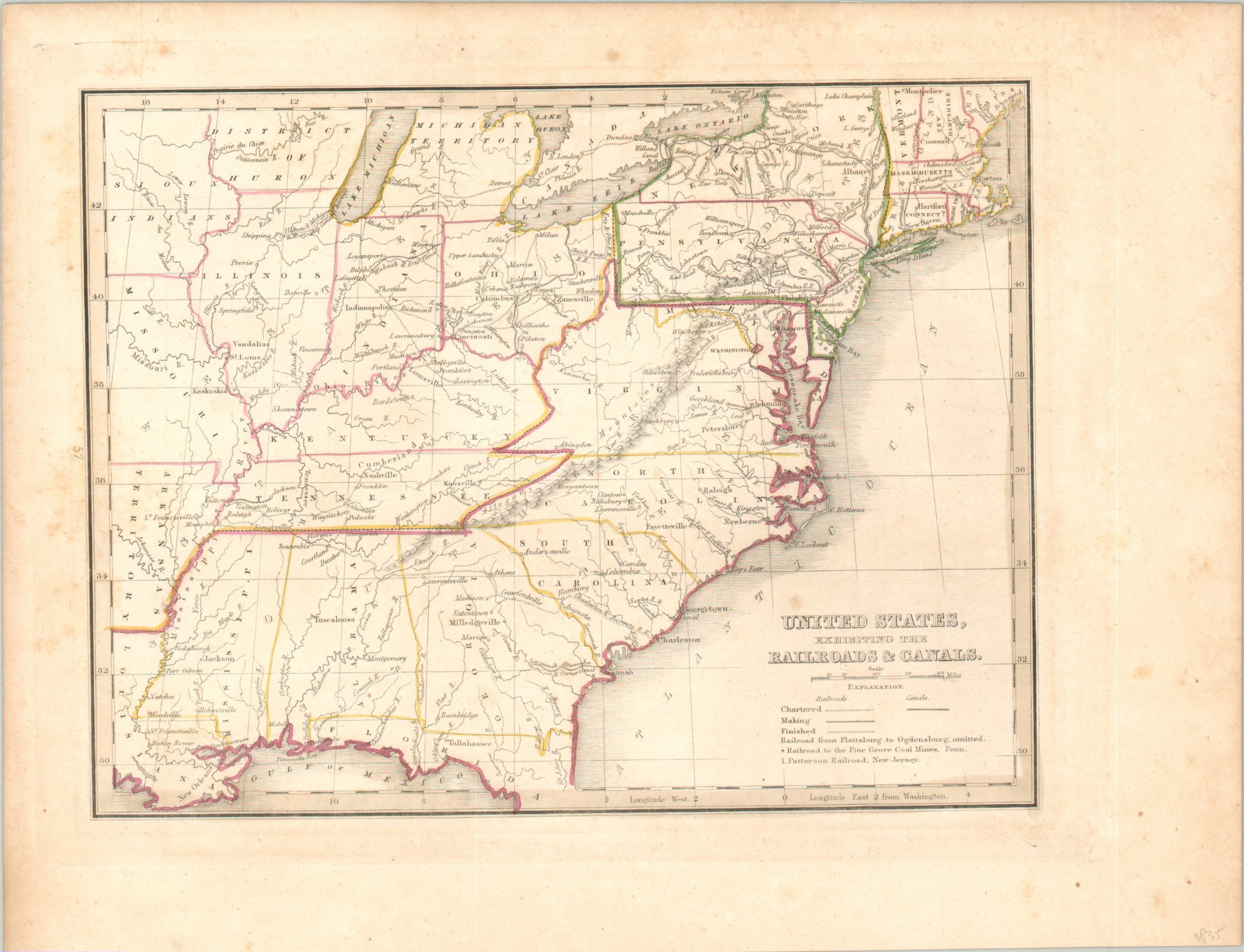
This fascinating map of the United States highlights the nation’s growing network of canals and railroads during the 1830s. These were the primary avenues by which people and goods were transported to and from the coastal regions to America’s interior.
Railroads are shown as chartered, under construction, and completed, with the first category making up the vast majority of routes. Waterborne transit remained the method of choice, though improvements in the steam engine coupled with an increasing upkeep cost of canals would shift the balance during the 1840s and 1850s.
The map was published in Boston in 1835 by the American Stationer’s Company as part of Thomas Bradford’s Comprehensive Atlas Geographical Historical and Commercial.
Map Details
Publication Date: 1835
Author: Thomas Bradford
Sheet Width (in): 10.75
Sheet Height (in): 8.50
Condition: B+
Condition Description: One small spot visible immediately above the title block and a bit of light scattered soiling on the center right. Good to very good overall, with original outline color.
$150.00
1 in stock