U.S. Highway 41 Log – Map – Guide
A scarce early travel guide to U.S. Highway 41.
Out of stock


Description
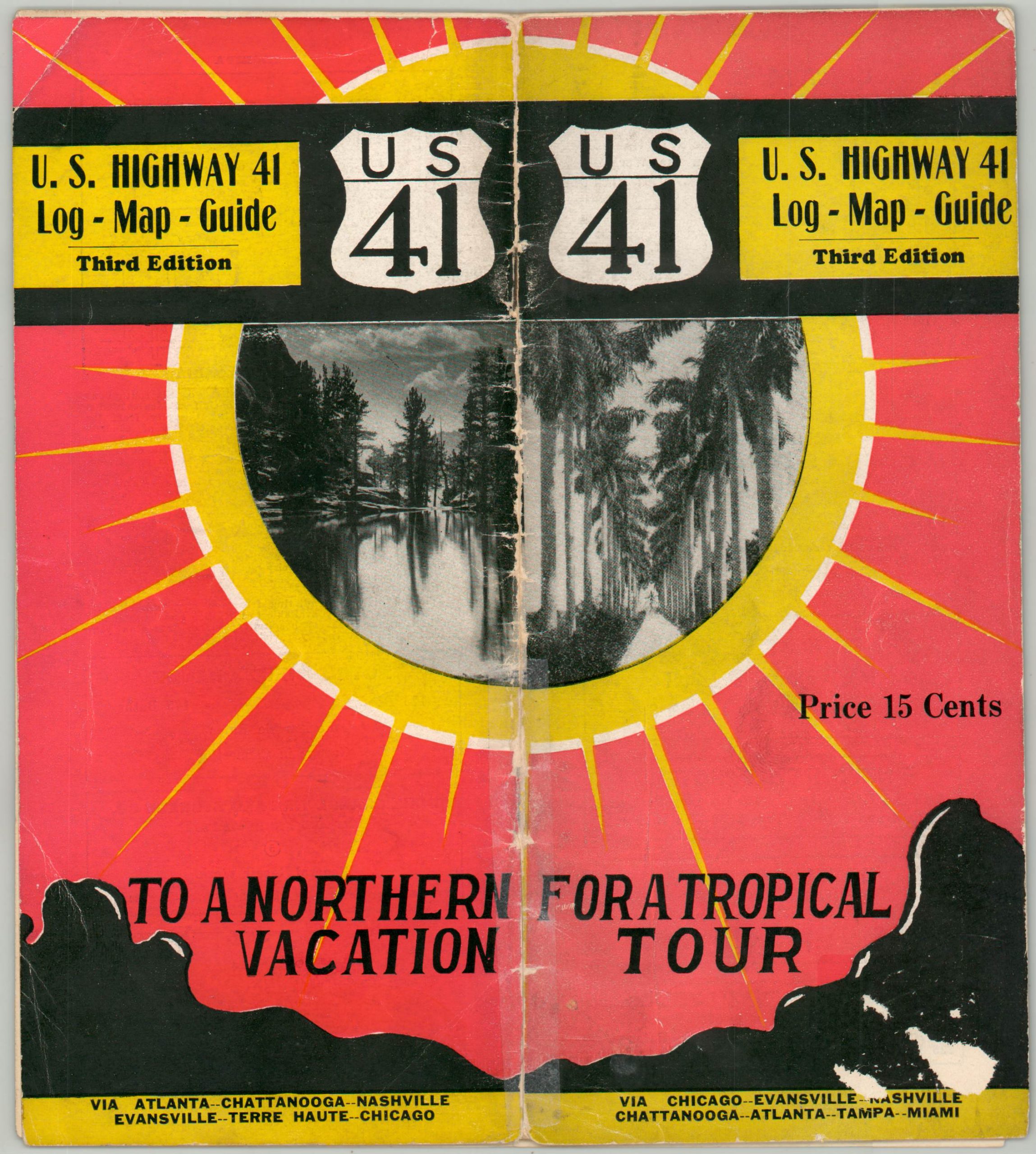
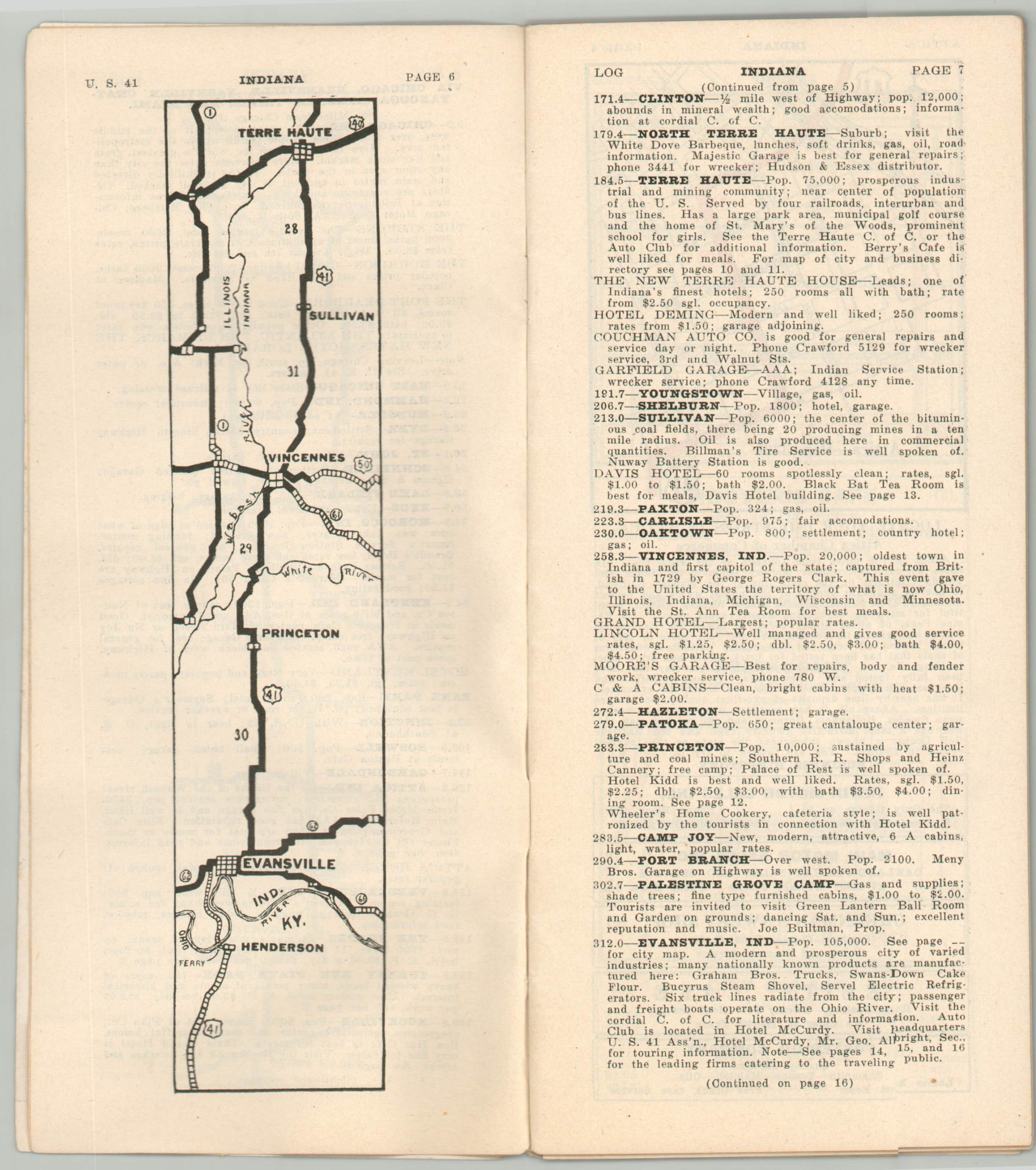
This ephemeral guide to U.S. Highway 41 was issued within a year or two of the route’s official organization under the United States Numbered Highway System of 1926. It’s officially the third edition published by the U.S. Highway 41 Association of Evansville, Indiana, and features 64 pages of strip maps, city plans, traveler’s amenities, road descriptions, and much more.
Introductory text encourages the motorist to “See America first. From a scenic standpoint U.S. Highway 41 offers the motorist a vast wealth of beauty in nature. From the charm and beauty of the Great Lakes, through the heart of the Middle West, Dixie, and into the Playgrounds of America, perpetual beauty prevails. A journey from one extremity to the other will take the traveler through a veritable land of ever-varied delights.”
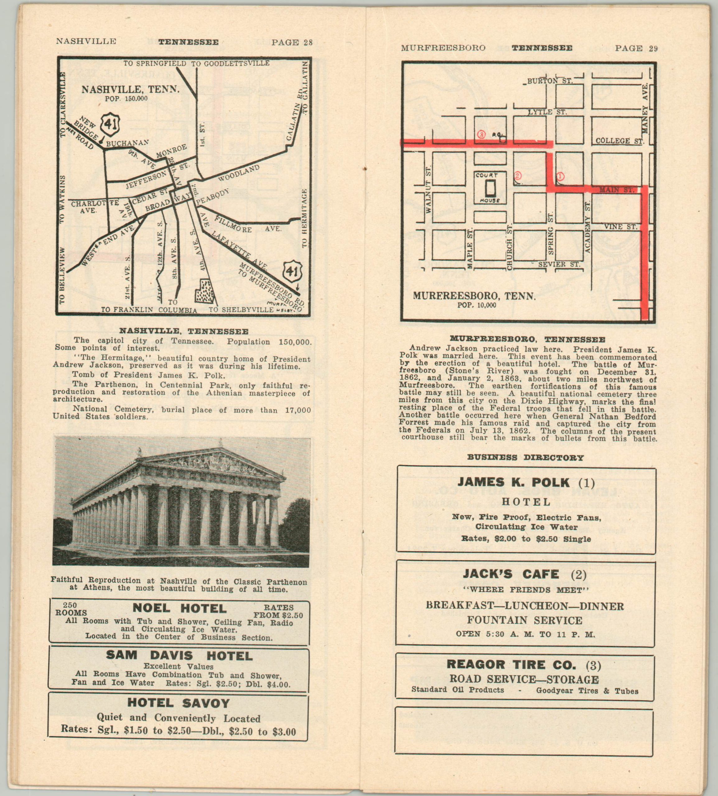
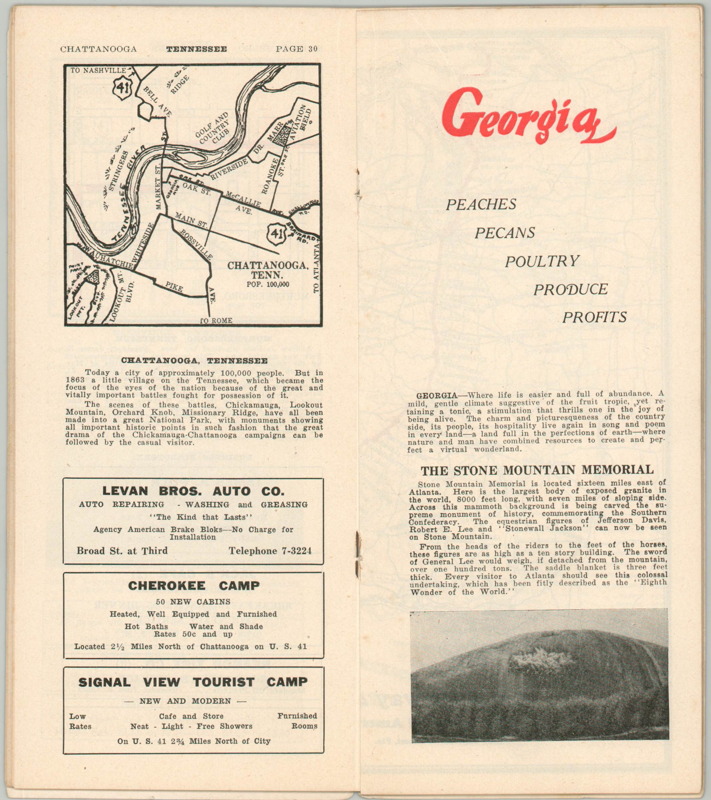
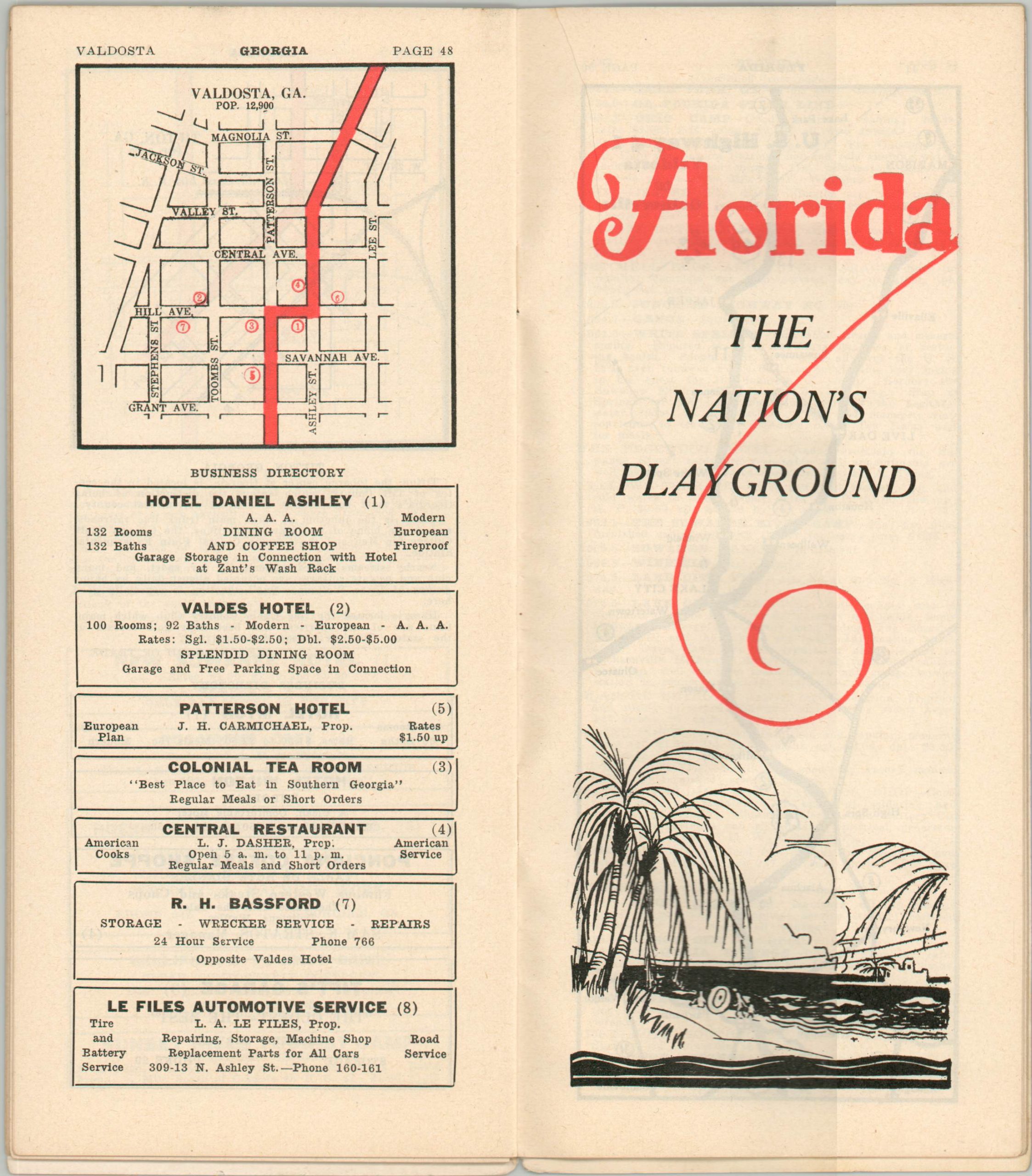
The brochure covers the length of the U.S. 41 – “The Boulevard of America” – between Chicago, Illinois and Miami, Florida. Distances between towns and locations of interest are noted and numerous advertisements for local businesses are included throughout. Likely issued in 1927, based on the advertisement for Chicago’s Morrison Hotel (opened that year) and the inclusion of the Tomiami Trail, which was renamed U.S. 94 in 1928.
Source: Bloomberg.
Map Details
Publication Date: c. 1926
Author: U.S. Highway 41 Association
Sheet Width (in): 4
Sheet Height (in): 9
Condition: B+
Condition Description: 64 pp. guidebook with paper wraps and stapled binding. Covers are worn and have about 4" of separation that has been repaired with archival tape. Contents are generally quite good, lightly worn and soiled consistent with age and use. Creased corners, scattered spotting, and faint toning around the outer edges.
Out of stock