U.S. 40 National Old Trails Road
Spectacular early travel guide showing the brand new route from St. Louis to Washington, D.C. via U.S. Highway 40.
Out of stock

Description
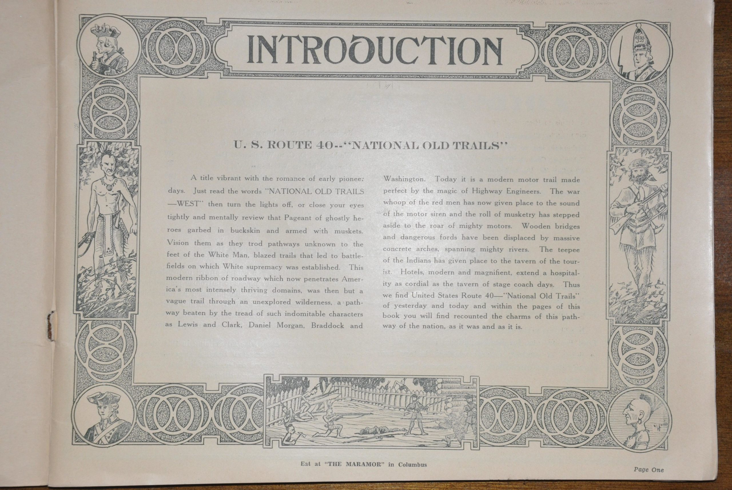
This auto trail guide, published by Registered Service International the year U.S. Highway 40 opened (1926), shows direct routes between various cities on the route; including St. Louis, Richmond IN, Columbus OH, Indianapolis, Wheeling, Frederick MD, Washington DC, Baltimore MD, Winchester VA, East Radford VA and Bristol, TN. As explained on the second page, using this book lets you “avoid the danger of becoming confused by a multitude of intersecting trails, a danger you constantly encounter while using a general map showing all trails.” This was true! Prior to 1925, there was no consistent method for naming highways across the country, as Congress had not yet caught up to the transportation innovation that was the automobile. Instead, individual organizations would maintain specific roads, and they would be marked with a unique sign along the length of the route.
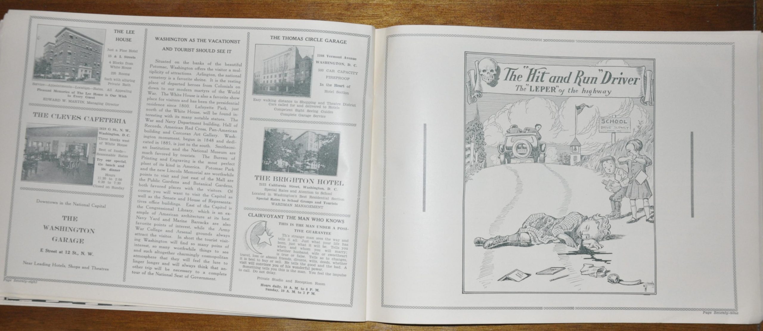
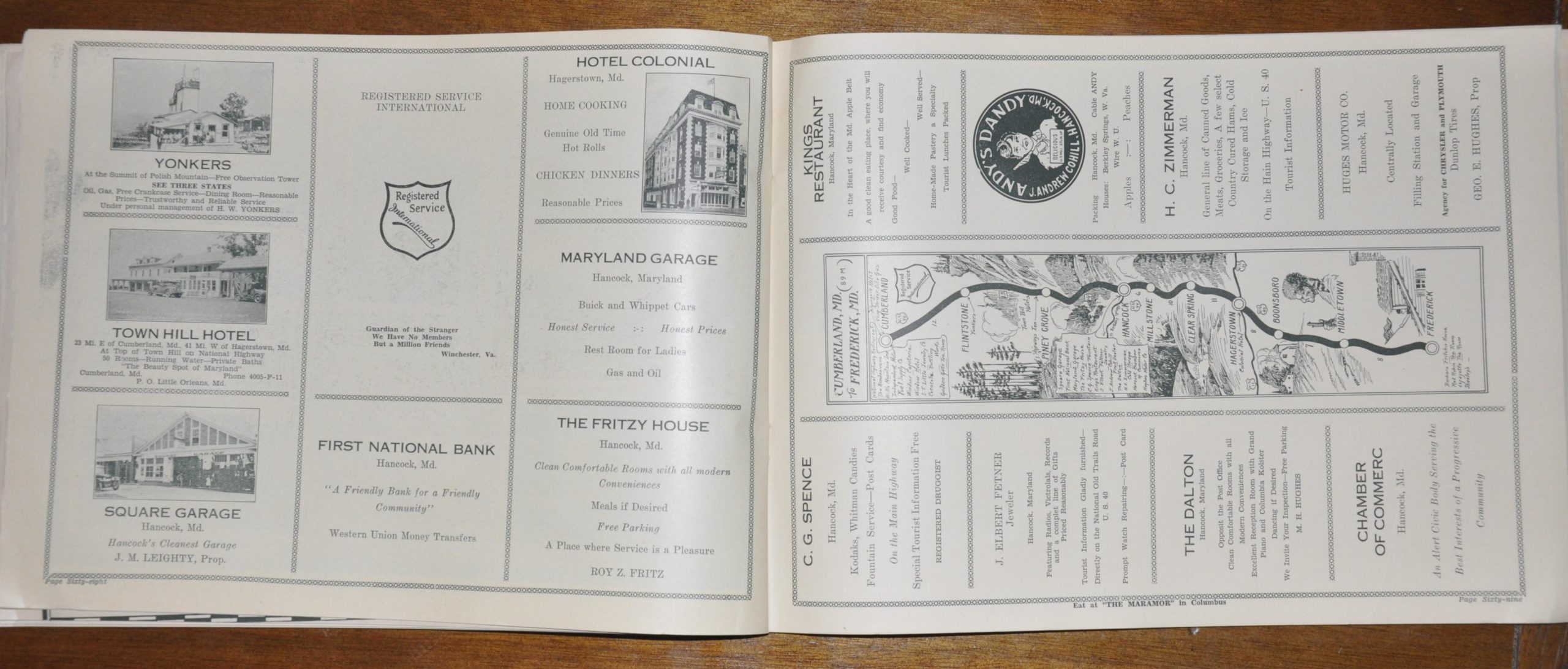
U.S. Highway 40 opened in 1926 as a network of existing (including the National Road) and newly built roadways, and this book was designed as promotional material and navigational aid for unfamiliar travelers. Along with providing directions via strip maps, the book is also rife with contemporary advertisements, public service announcements, photographs, and historical information about each destination along the way.
Map Details
Publication Date: 1926
Author: Registered Service International
Sheet Width (in):
Sheet Height (in):
Condition: A-
Condition Description: The book is in fantastic condition, complete with original paper covers. Minor soiling, creasing and some slightly cockeyed pages, otherwise very good.
Out of stock