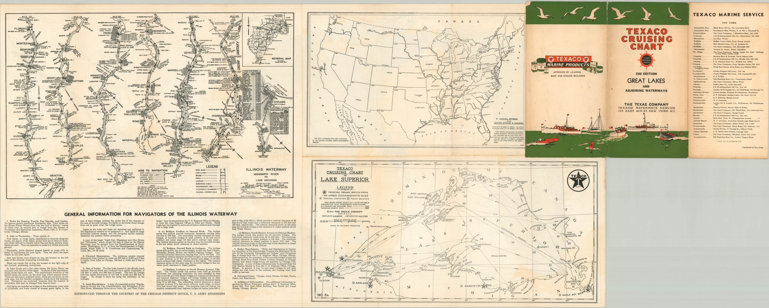
Texaco Cruising Chart Great Lakes & Adjoining Waterways
Handy navigation guide to the Great Lakes published during WWII.
Out of stock
Description
This detailed guide to the Great Lakes waterways takes many common elements of the road map and transforms their use for sailors, rather than motorists. Major cities and coastal areas are identified, with distances between each noted in many instances. Lighthouses, refueling stations, and range lights are marked according to the accompanying legend in the lower right, which also includes the disclaimer that the chart is ‘not intended for navigation purposes.’
The map was compiled by G.G. Smith and drawn by B.S. Pond. Published in 1940 by the Texas Company on behalf of Texaco. The date of issue is notably referenced by a bold statement of ‘War Regulations’ near the upper center. The temporary nature of the notification (“no other restrictions reported at the publication date”) reflects the rapidly changing global situation in early 1940. Similar guides, in strip map form, can be found on the verso and cover Illinois waterways and Lake Superior.
Map Details
Publication Date: 1940
Author: The Texas Company
Sheet Width (in): 31.60
Sheet Height (in): 16.00
Condition: B+
Condition Description: Several areas of faint scattered discoloration visible within the image, concentrated most visibly above the title block and across the horizontal fold line. Moderate soiling around the outer edges, but remains in good to very good condition overall.
Out of stock


