State Highway Commission Map of Maine
$60.00
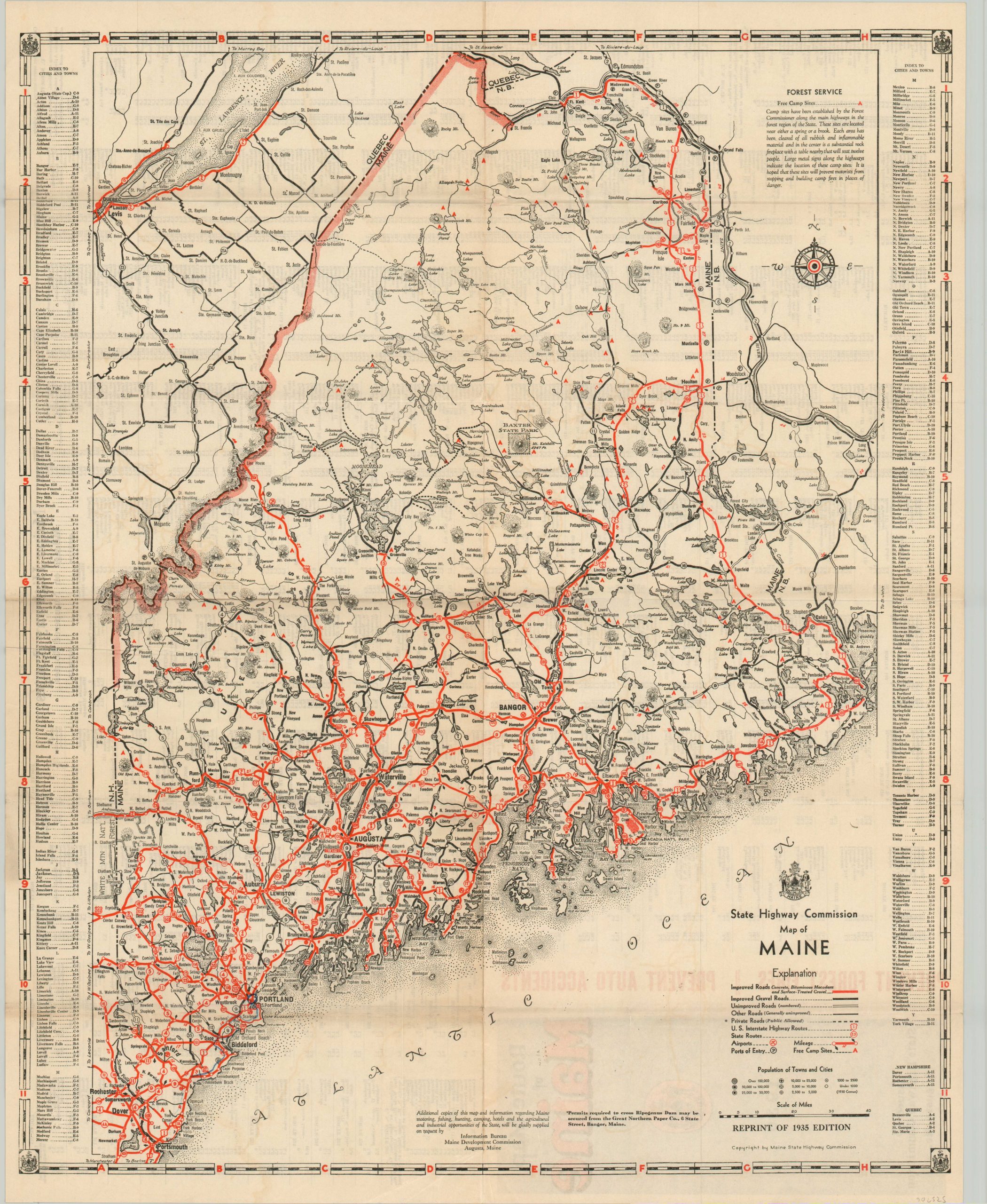
Mid-1930’s road map of Maine published by the State Highway Commission.
1 in stock
Description
This detailed highway map of Maine shows the breadth of improved roads in bright red spreading across the state. According to the legend in the lower right, this reflects a variety of surfaces, including concrete, macadam, and treated gravel – certainly a different structure than today’s concept of a highway.
Other roads are shown as gravel, unimproved (dirt), or other, and the signs for state routes and interstate highways are also provided. Free camp sites, provided by the Maine Forest Commissioner for use by motorists, also dot the road, especially across the state’s more northern regions.
A comprehensive index of the various highway routes in operation across the state is provided on the verso. Towns and mileage totals are provided for each – over 100 in all.
Map Details
Publication Date: 1936
Author: Maine State Highway Commission
Sheet Width (in): 19.00
Sheet Height (in):
Condition: A
Condition Description: Moderate creasing and small spots of separation at fold intersections. Very good overall.
$60.00
1 in stock