
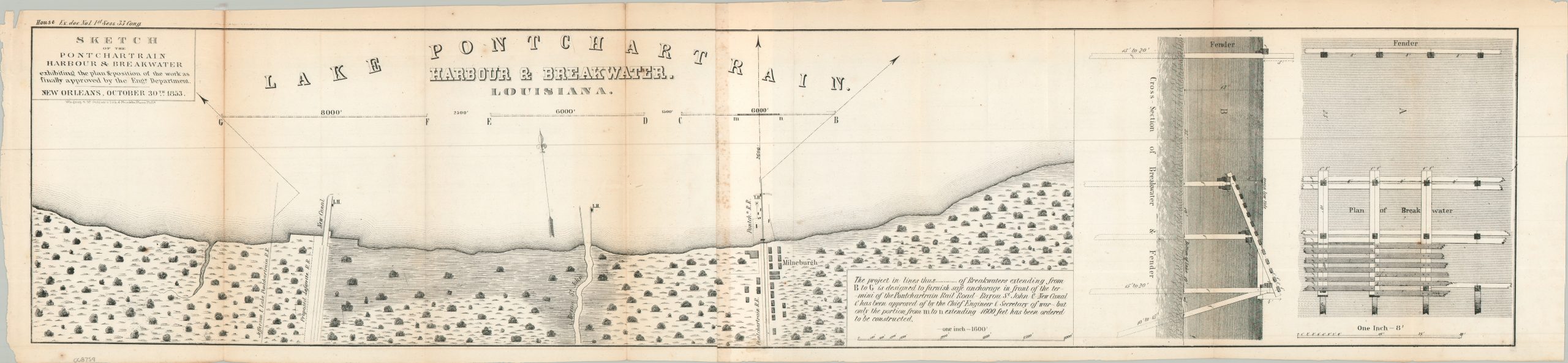
Sketch of the Pontchartrain Harbour & Breakwater
$145.00
1 in stock
Description
This important survey presents the southern coastline of Louisiana’s Lake Pontchartrain in the early 1850s. At the time, the lake was a vital hub for New Orleans commerce, with goods arriving via the two depicted canals (New Canal and Bayou St. John). The map also highlights the bustling railroad terminal at Milneburg, where the terminus and associated facilities are prominently shown.
Because the lakeshore was notoriously exposed to the elements, safe anchorage was often difficult during inclement weather; consequently, the survey delineates proposed breakwaters (marked B and G). A technical cross-section on the right outlines the suggested method of construction, providing a fascinating look at the period’s civil engineering standards. While an impressive proposal, the wooden breakwater design proved insufficient against the lake’s environment and offered only a temporary reprieve.
Map Details
Publication Date: 1853
Author: Government Printing Office
Sheet Width (in): 37.75
Sheet Height (in): 8.80
Condition: B
Condition Description: Two folding sheets, joined along a vertical seam that has spotted from the adhesive. Two fold splits, about 5" cumulatively, repaired on the verso with archival tape. A bit of moderate toning and minor offsetting. About good condition overall.
$145.00
1 in stock