Road Map of Storm King Highway and Connecting Roads [Text on Verso]
$70.00
United States Tires are Good Tires
1 in stock
Description
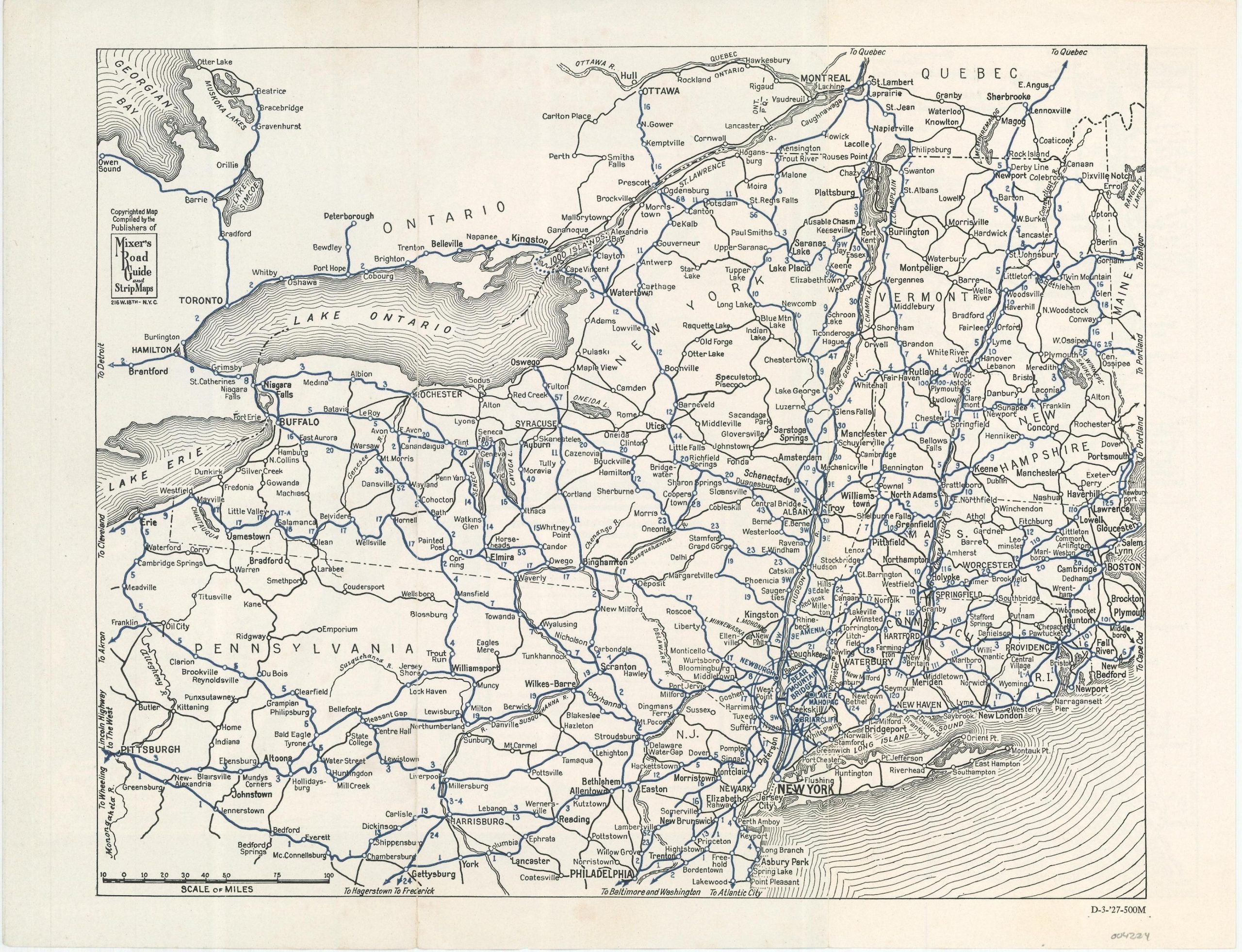
This simple road map of New England was published in 1927 by Mixer’s Motor Tours for distribution by the United States Rubber Company. Primary automobile routes between Pittsburgh and Montreal are highlighted in blue and distances between points are noted. A circled area in the lower center is enlarged with a single-panel map on the verso.
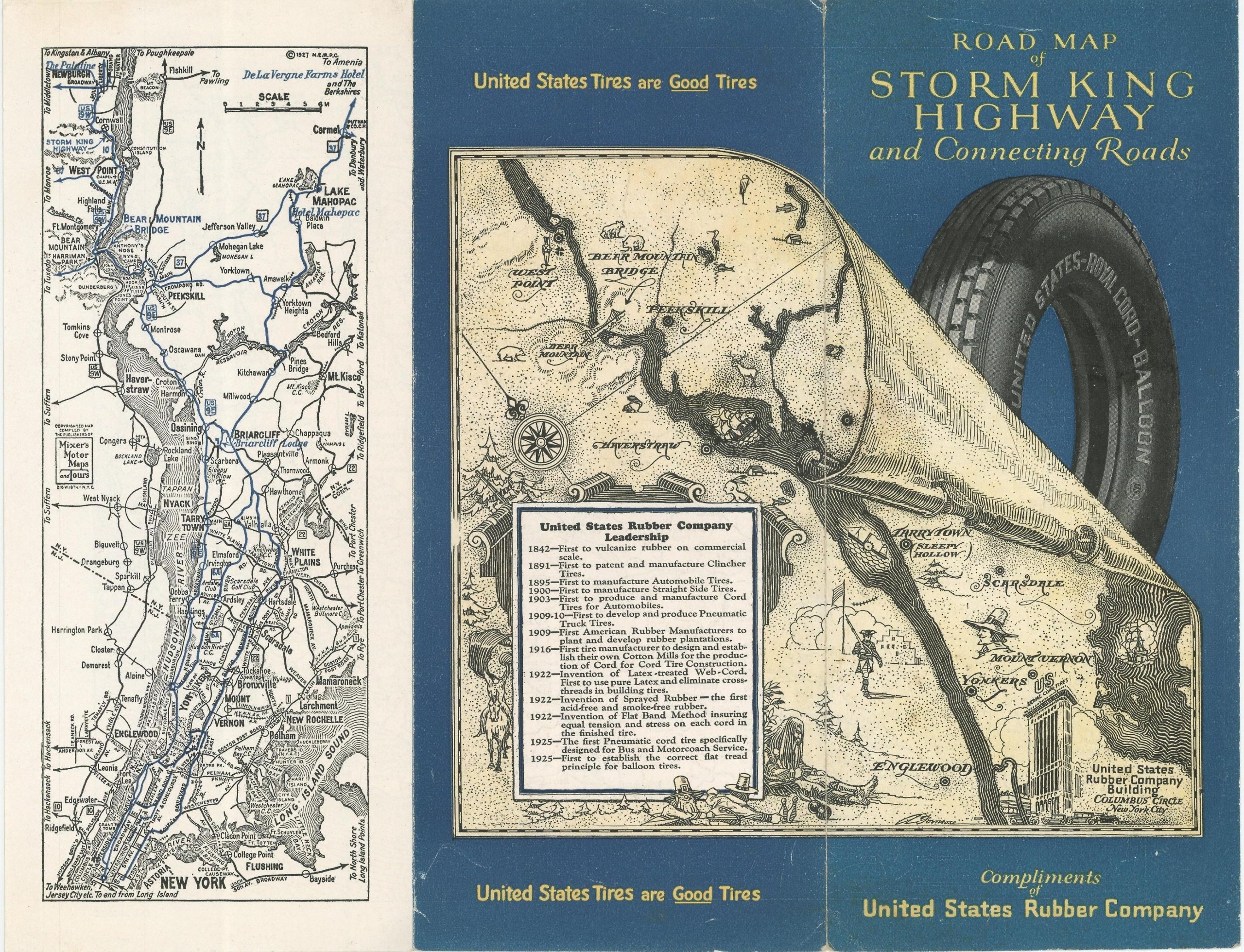
Again, motor routes are shown in blue, but the large scale allows for the presentation of minute details like intersections, railroad crossings, and locations of interest. Prominent hotels, the Bear Mountain Bridge, and the Storm King Highway are also identified. The front two panels present an abstract, ‘antique’ map of the same area, filled with historic vignettes and a timeline of the United States Rubber Company Leadership from 1842 – 1925.
Map Details
Publication Date: 1927
Author: Mixer's Motor Maps and Tours
Sheet Width (in): 12
Sheet Height (in): 9.25
Condition: A-
Condition Description: Creasing and light wear visible along originally issued fold lines and outer edges. Very good overall.
$70.00
1 in stock


