Road Map of Grand Traverse County
$125.00
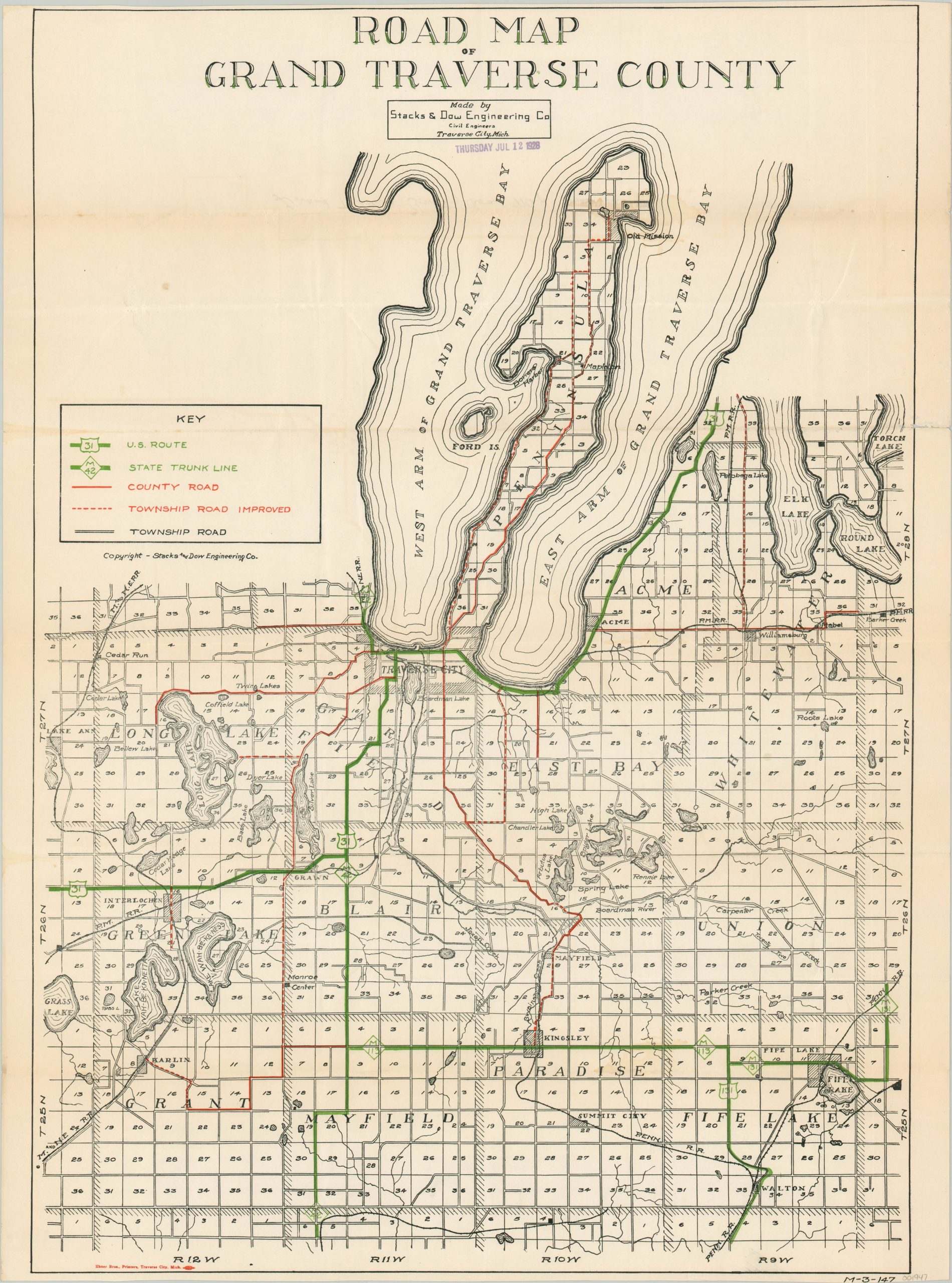
Locally produced road map of Grand Traverse County, Michigan.
1 in stock
Description
This detailed road map of Grand Traverse County shows the transportation network at a time when the national road system was beginning to coalesce. Just a few years prior to publication, the United States Numbered Highway System was implemented, and the U.S. Routes are shown in green along with the Michigan State Trunk Lines (still in operation today).
County and improved township roads are shown in red, though surface (pavement, gravel, dirt) is not specified. The map was designed by the Stacks & Dow Engineering Company and printed by Ebner Brothers, both in Traverse City.
Map Details
Publication Date: c. 1928
Author: Stacks & Dow Engineering Company
Sheet Width (in): 22
Sheet Height (in): 29.5
Condition: A-
Condition Description: Faint discoloration along the uppermost horizontal fold line and a bit of separation visible on the right margin (repaired on verso). Creasing along fold lines, but very good, or better, condition overall.
$125.00
1 in stock