
Rice’s Pathfinder of Chicago Illinois Wisconsin Indiana & Michigan
Comprehensive guide to recreational travel in Chicagoland during the Roaring ’20s.
Out of stock
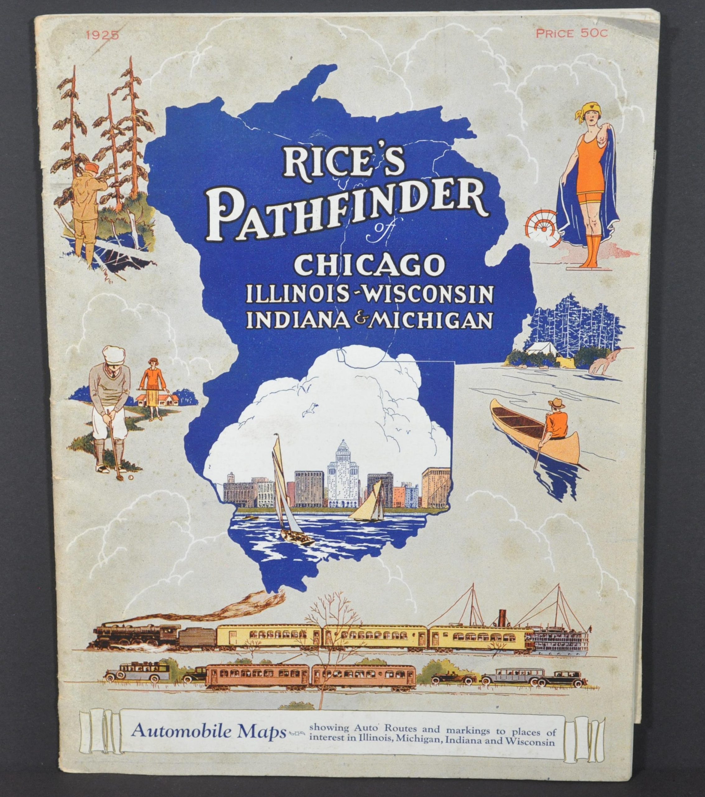


Description
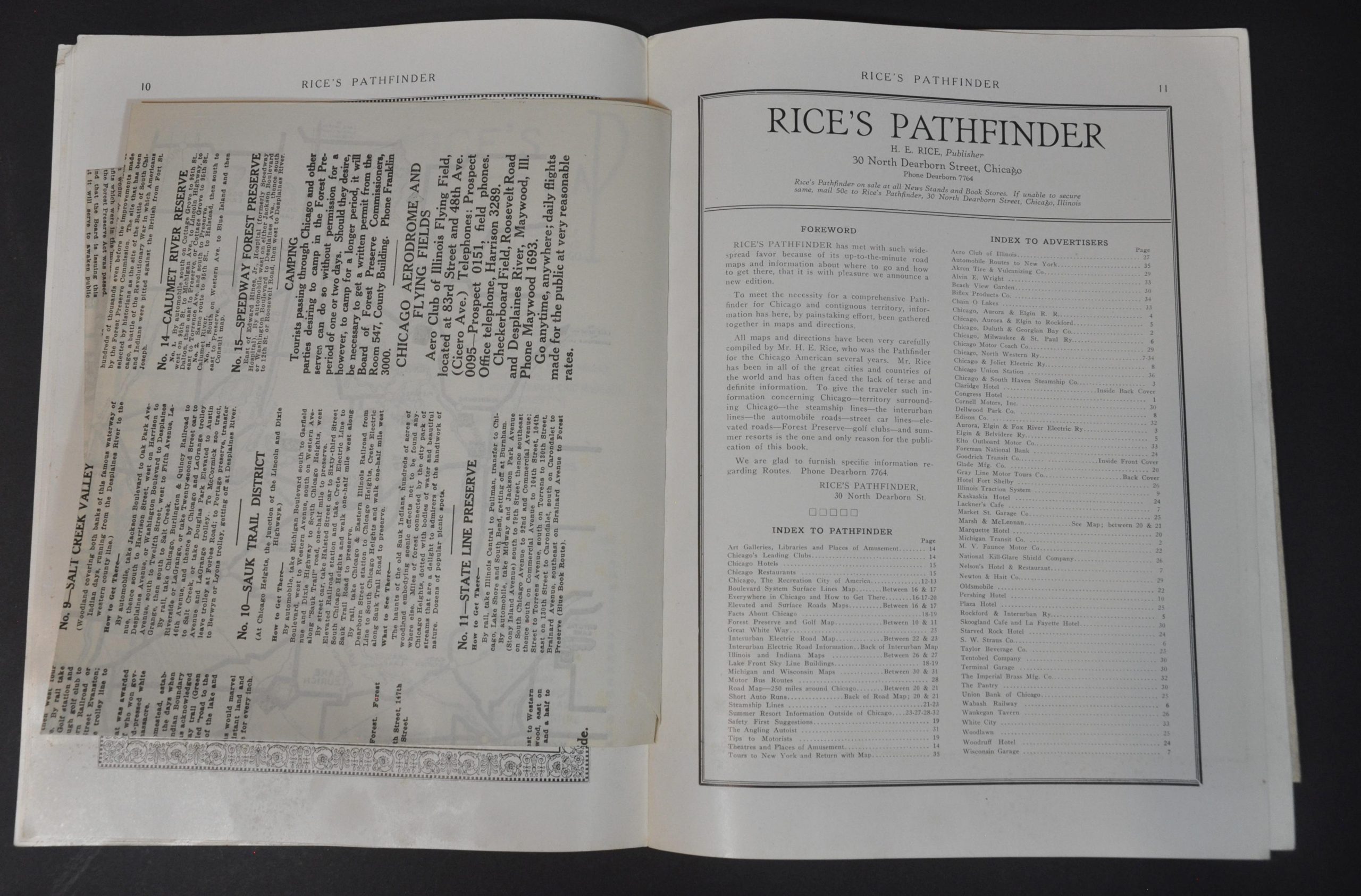
“To meet the necessity for a comprehensive Pathfinder for Chicago and contiguous territory, information has here, by painstaking effort, been gathered together in maps and directions. All maps and directions have been very carefully compiled by Mr. H.E. Rice, who was the Pathfinder for the Chicago American several years [sic]. Mr. Rice has been in all of the great cities and countries of the world and has often faced the lace of terse and definite information. To give the traveler such information concerning Chicago – the steamship lines – the interurban lines – the automobile roads – street car lines – elevated roads – Forest Preserve – golf clubs- and summer resorts is the one and only reason for the publication of this book.” [Foreword].
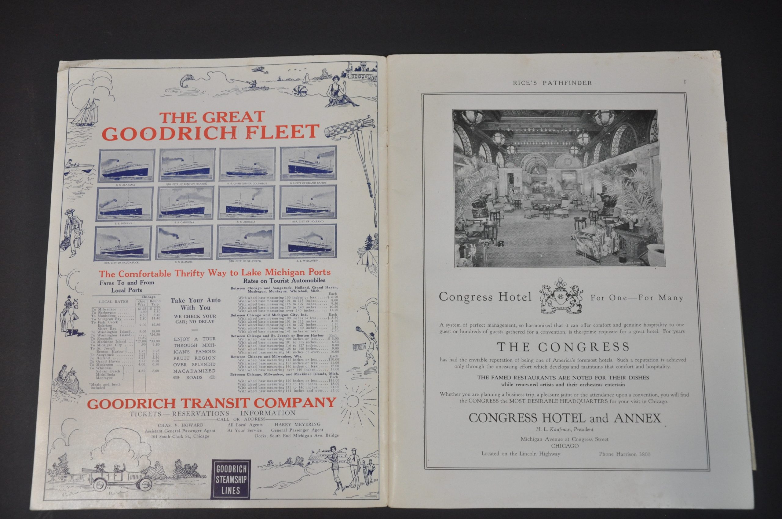
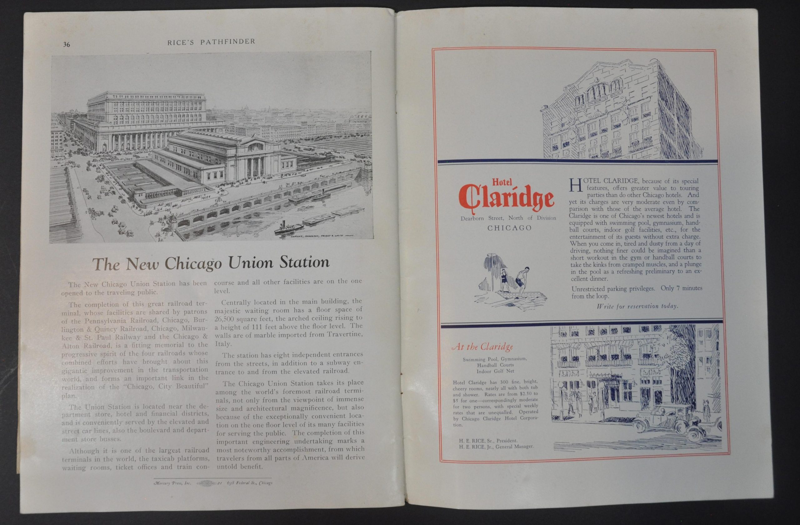
This fantastic relic from Chicago’s gangster era provides an (allegedly) unbiased overview of ‘what to do’ and ‘how to get there’ around the region. Less than forty pages cram in dozens of contemporary advertisements, strip maps, route logs, six folding maps, lists of attractions, timetables, recommended restaurants and hotels, and a bird’s eye view of the city’s skyline. The folding maps are as follows (in order of appearance)
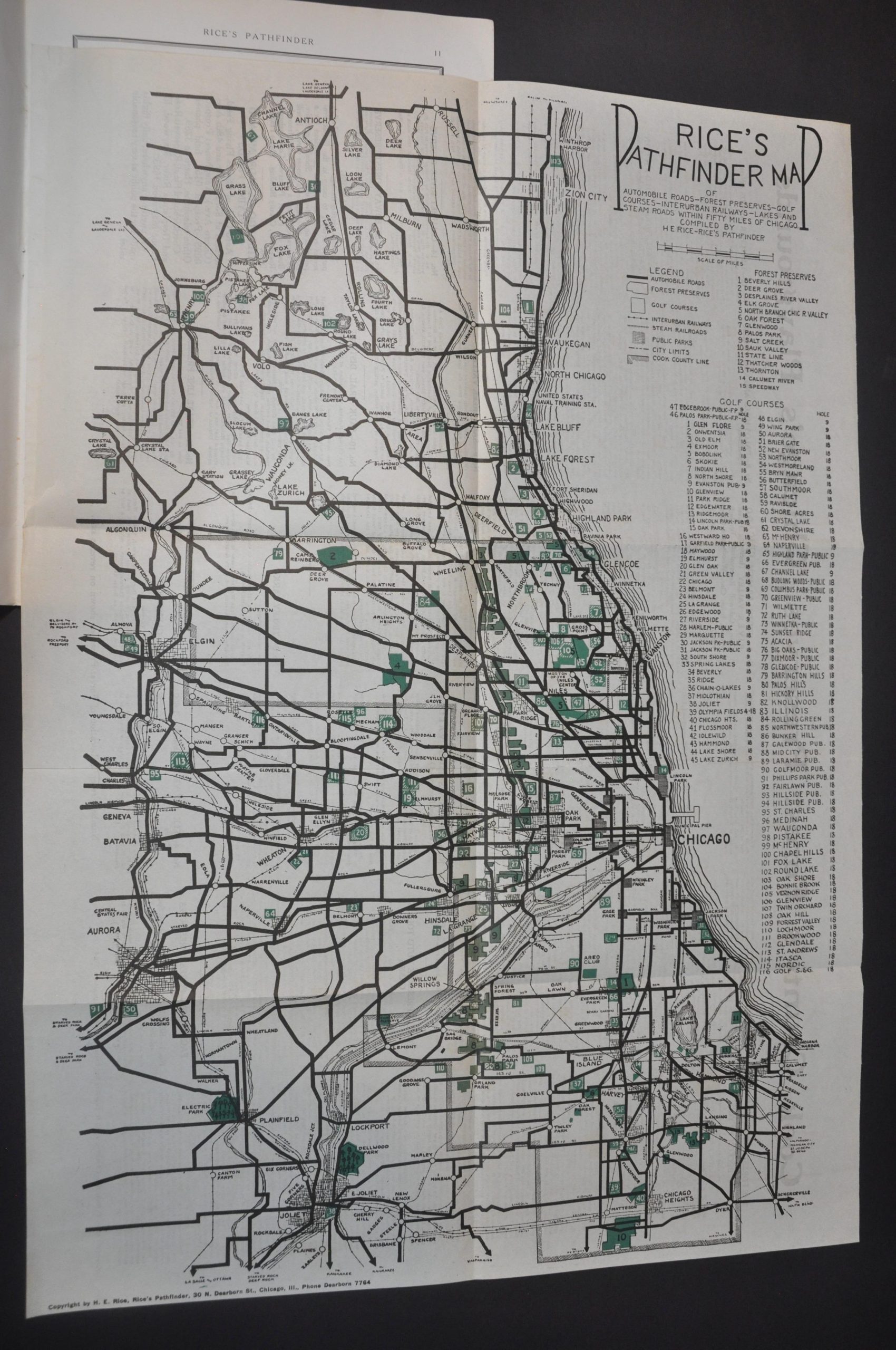
Rice’s Pathfinder Map of Automobile Roads-Forest Preserves-Golf Courses-Interurban Railways-Lakes and Steam Roads within Fifty Miles of Chicago – 16.6″ x 23.75″. Highlights the Cook County Forest Preserves and identifies 116 different golf courses.
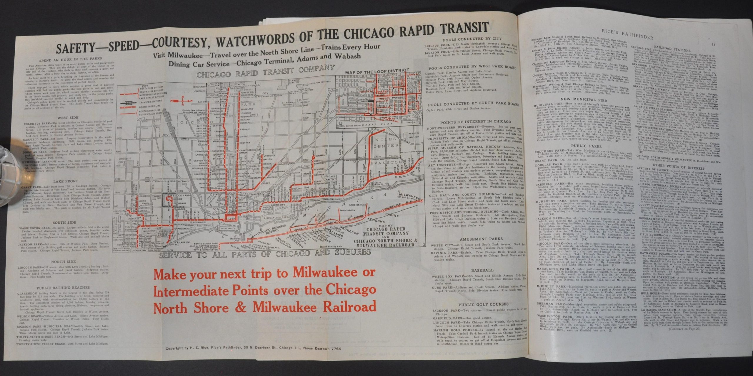
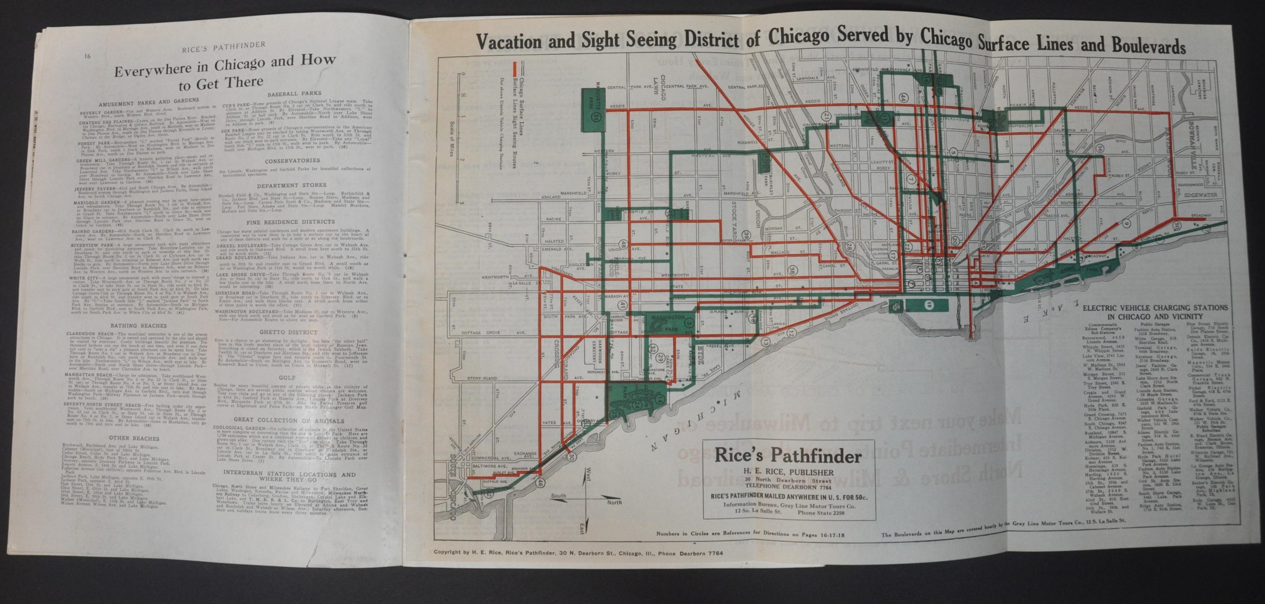
Vacation and Sight-Seeing District of Chicago Served by Chicago Surface Lines and Boulevards – 18.75″ x 11.5″. Double-sided and oriented with west at the top. Shows the routes of the Chicago Surface Lines (recto) and Chicago Rapid Transit Company (verso)
Automobile and Steamship Routes to City, Summer Resorts and Places of Interest in Wisconsin, Illinois, Indiana, and Michigan – 17.25″ x 19.25″ Shows summer resorts accessible via the city. Verso includes strip maps with directions to Starved Rock, Fox Lake, the Indiana Dunes, Milwaukee, and other popular destinations.
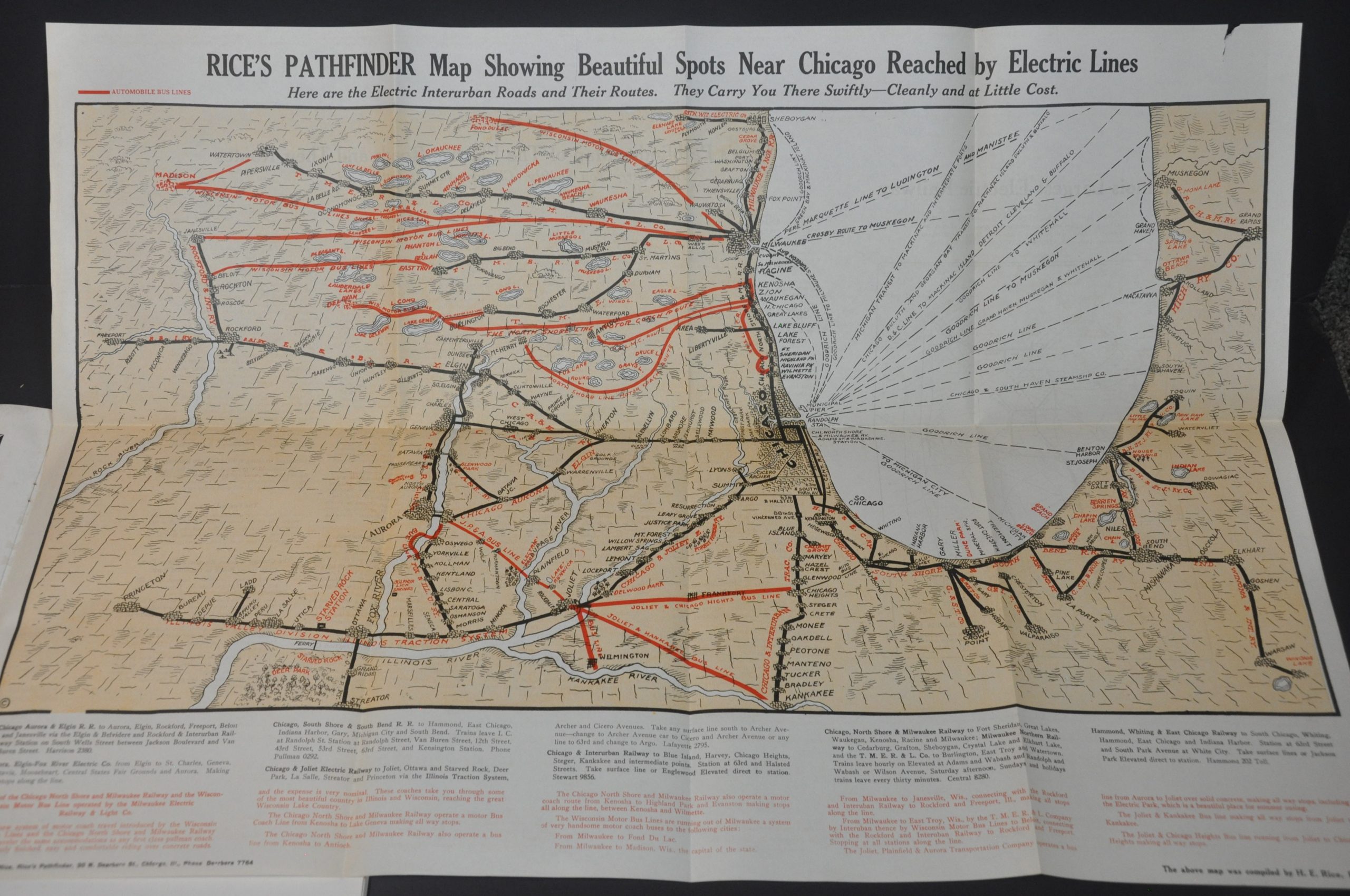
Rice’s Pathfinder Map Showing Beautiful Spots Near Chicago Reached by Electric Lines – 29.25″ x 19.75″ Stunning isometric view covering a large area bounded by the Rock River (east), Illinois River (south), Sheboygan/Madison (north), and Grand Rapids (west). Electric railway and interurban lines are identified.
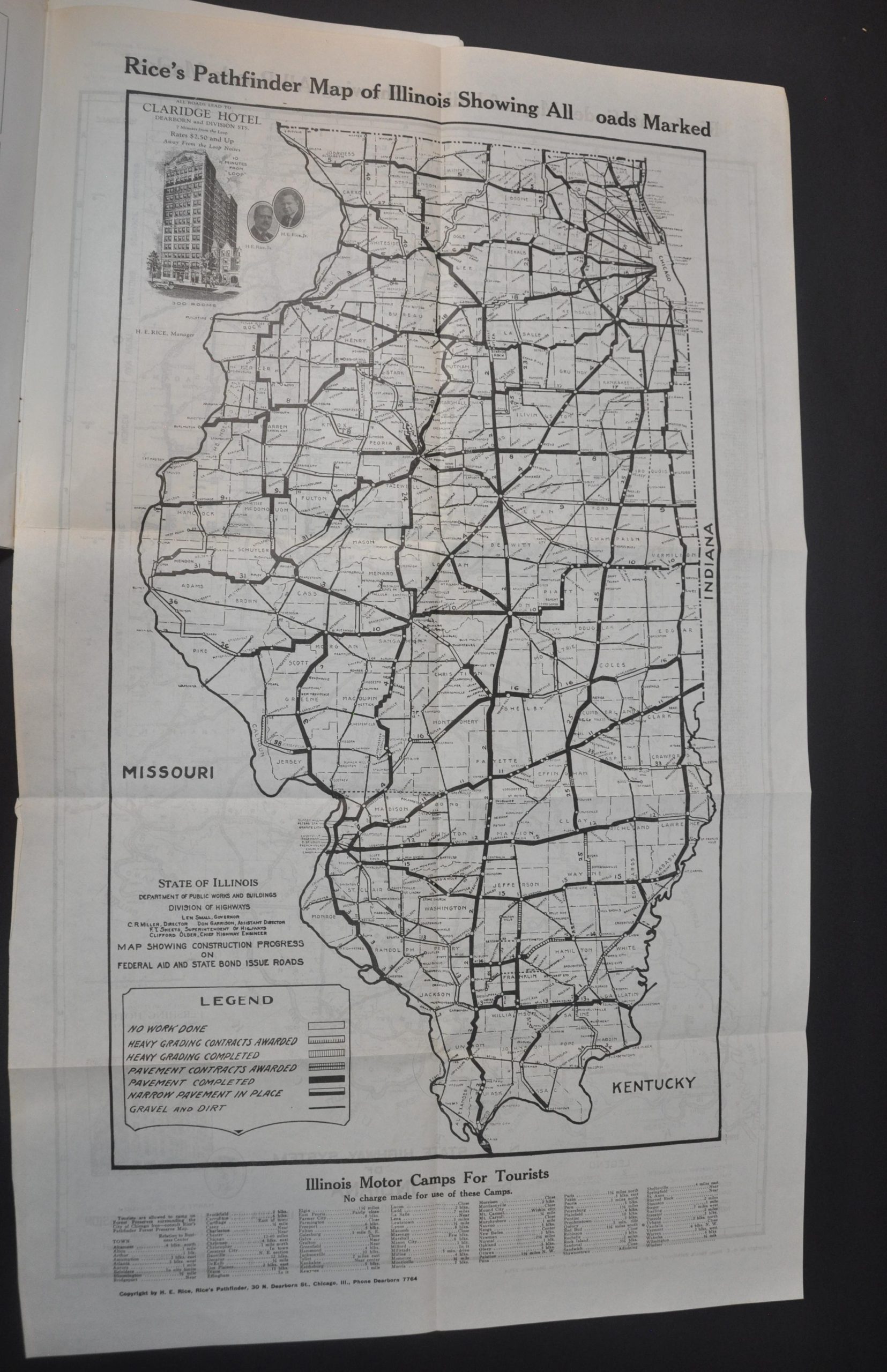
Rice’s Pathfinder Map of Illinois Showing All Roads Marked – 16.5″ x 27.75″ – Simple B&W map of Illinois showing the status of construction for federal aid and state bond issue roads. A list of motor camps is provided at the bottom of the sheet. The verso provides the same information for Indiana.
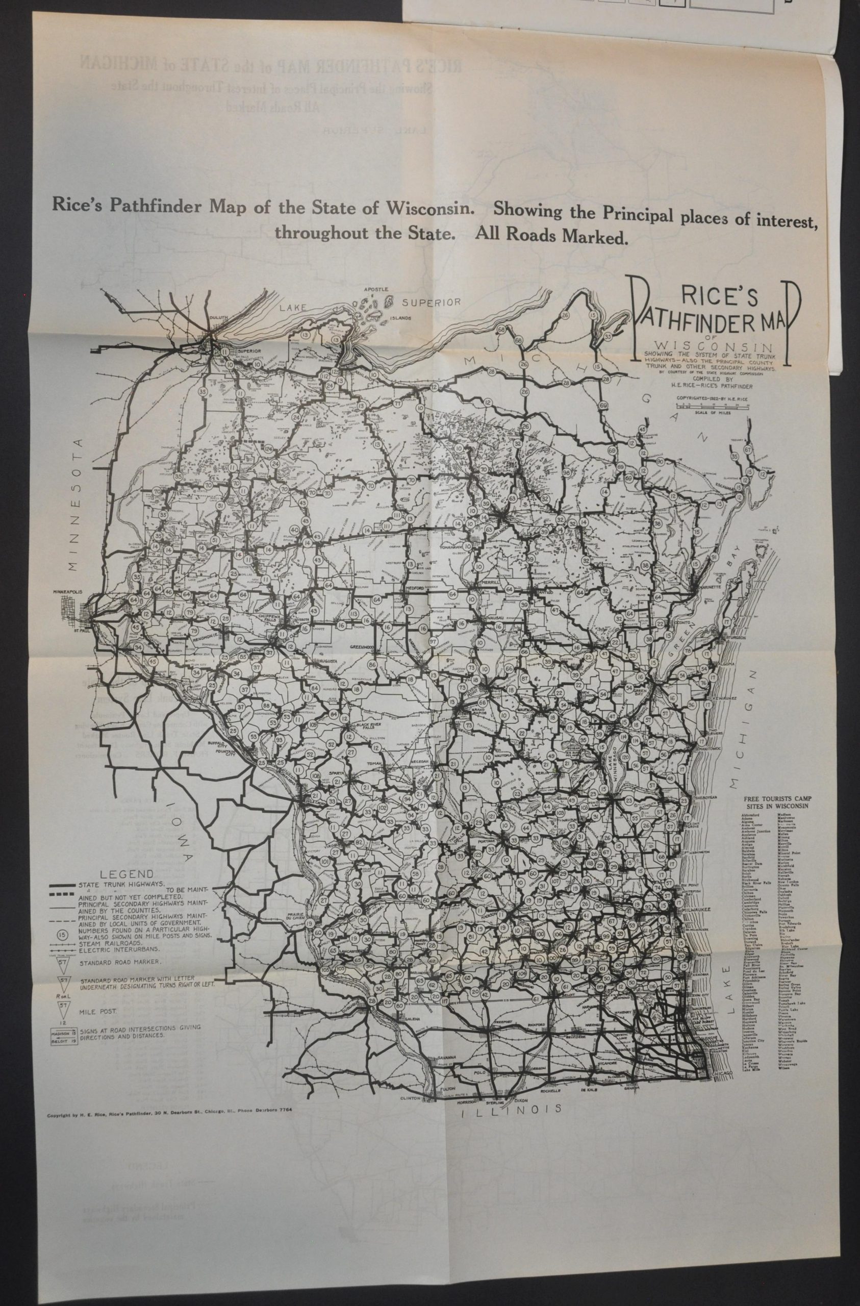
Rice’s Pathfinder Map of the State of Wisconsin – 20.5″ x 32.5″ – Similar design to the Illinois & Indiana road maps, though this sheet shows Wisconsin (recto) and Michigan (verso).
Map Details
Publication Date: 1925
Author: H.E. Rice
Sheet Width (in): 9
Sheet Height (in): 11.75
Condition: A-
Condition Description: 36 pp. printed book bound with staples to illustrated thick paper covers. Slight scattered soiling throughout the contents and on both wraps, but overall in very good condition. Includes six folding maps of various sizes. Each has a few small tears around the edges or where affixed to the booklet, but their affect is minimal and do not enter the image.
Out of stock