Report of the Board of Engineers on Deep Waterways Between the Great Lakes and the Atlantic Tidewaters
$825.00
Complete House report of early governmental efforts to improve waterborne transportation between the Great Lakes and Atlantic Ocean.
1 in stock
Description
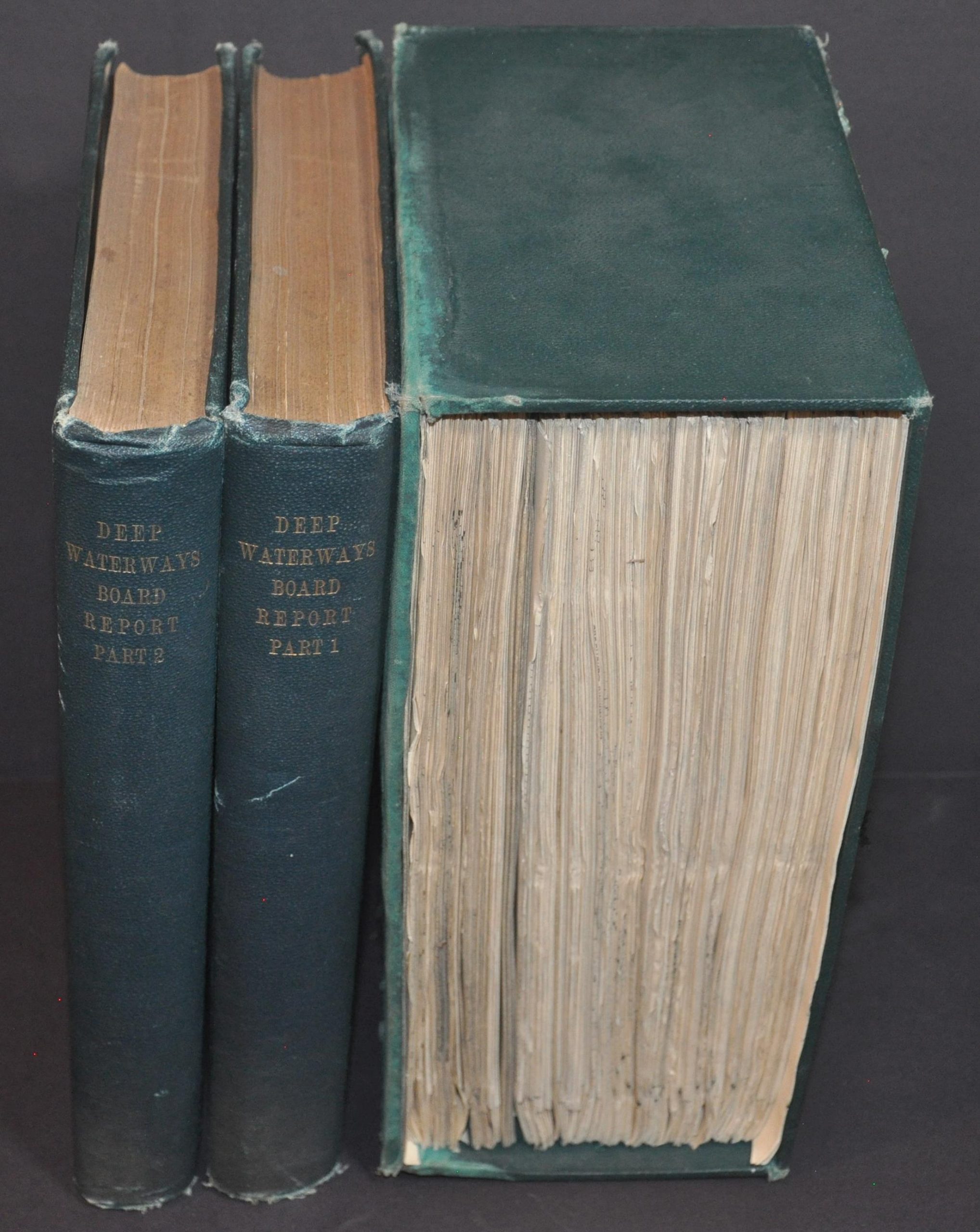
This amazing two-volume Congressional report and accompanying supplemental atlas represent nearly three years of work by the U.S. Army Corps of Engineers under Secretary of War Elihu Root. It was published in 1900 in Washington, D.C. by the Government Printing Office in response to an 1897 bill that authorized the creation of a board of engineers to investigate the construction of deep waterways between the Great Lakes and the Atlantic Ocean.
Their efforts to improve transportation between these two critical bodies of water were a continuation of the canal-building boom that began with the opening of the Erie Canal in 1817 and continued through the 1830s. As the Midwestern states grew in population and agricultural production during the 19th century, farmers and businessmen sought additional ways to access Eastern markets on the Atlantic Coast. In many cases, water transportation for bulk commodities remained cheaper than railroads into the 1880s, provided that canals were appropriately maintained and regularly dredged to accommodate larger ships. Improvements were made piecemeal throughout the Great Lakes, New York, and St. Lawrence canals, but increasing competition from railways and high construction costs limited the construction of new channels.
American and Canadian businessmen hosted a deep waterway conference in Toronto in 1894 to discuss the problem further. Its 1897 report recommended, in part, further development of the St. Lawrence and a new canal connecting Lake Erie to the Hudson via the Mohawk River. It was likely this report that prompted Congress to authorize the establishment of the Board of Engineers on Deep Waterways Between the Great Lakes and the Atlantic Tidewaters. According to William Becker;
“The board, headed by Engineer Lieutenant Colonel Charles W. Raymond, produced an extensive report in 1900 which did not support the idea of joint U.S.-Canadian improvements. It recognized that there were some advantages to the St. Lawrence route, and it included a full analysis of possible improvements in the International Rapids section of the St. Lawrence, but it supported a more southerly route to connect Lake Ontario to the Hudson. Such a route would have a longer navigation season and, of equal importance to the military, it could be more easily defended.”
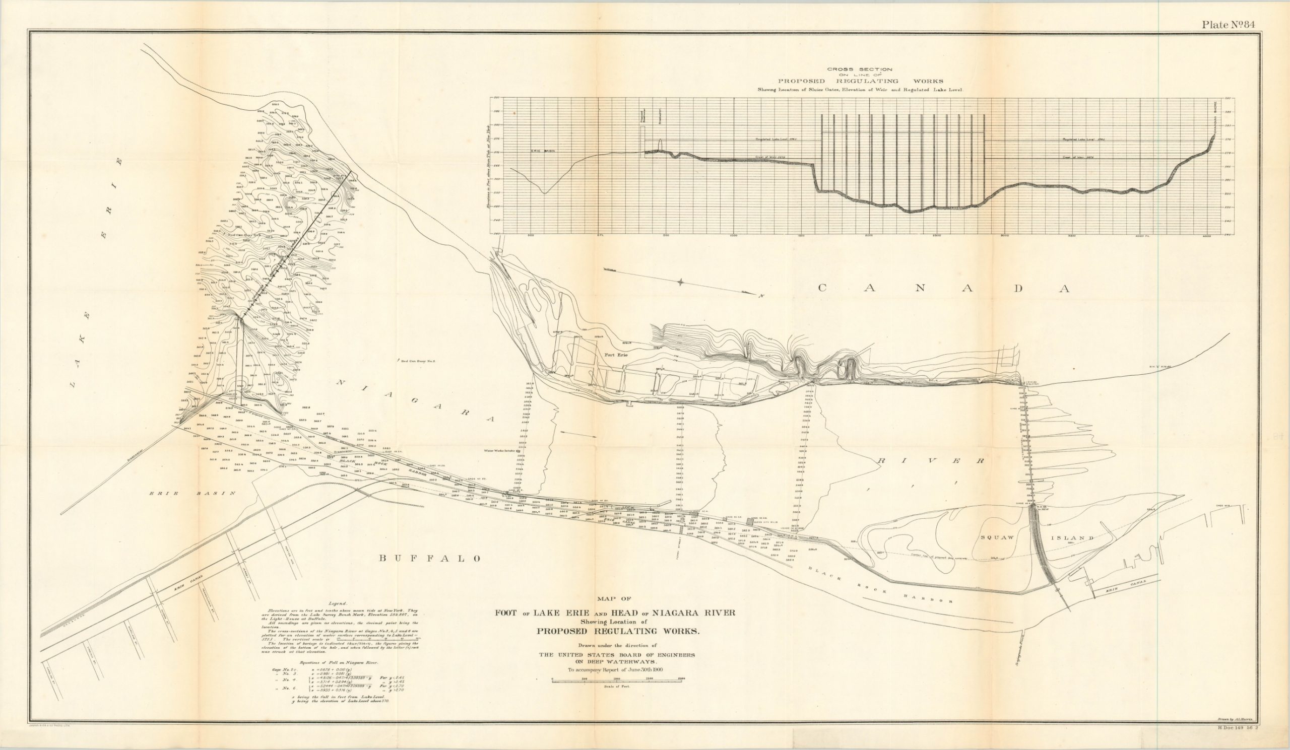
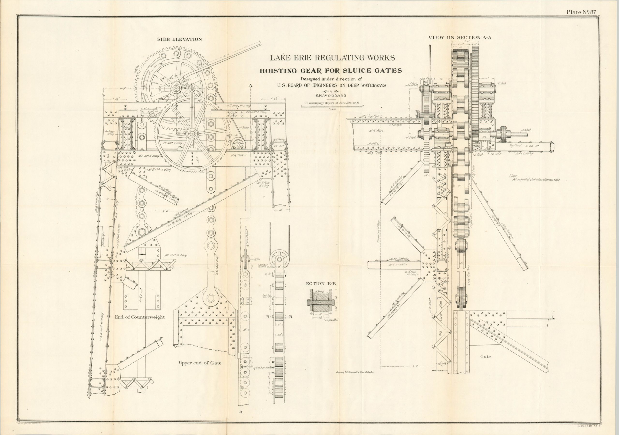
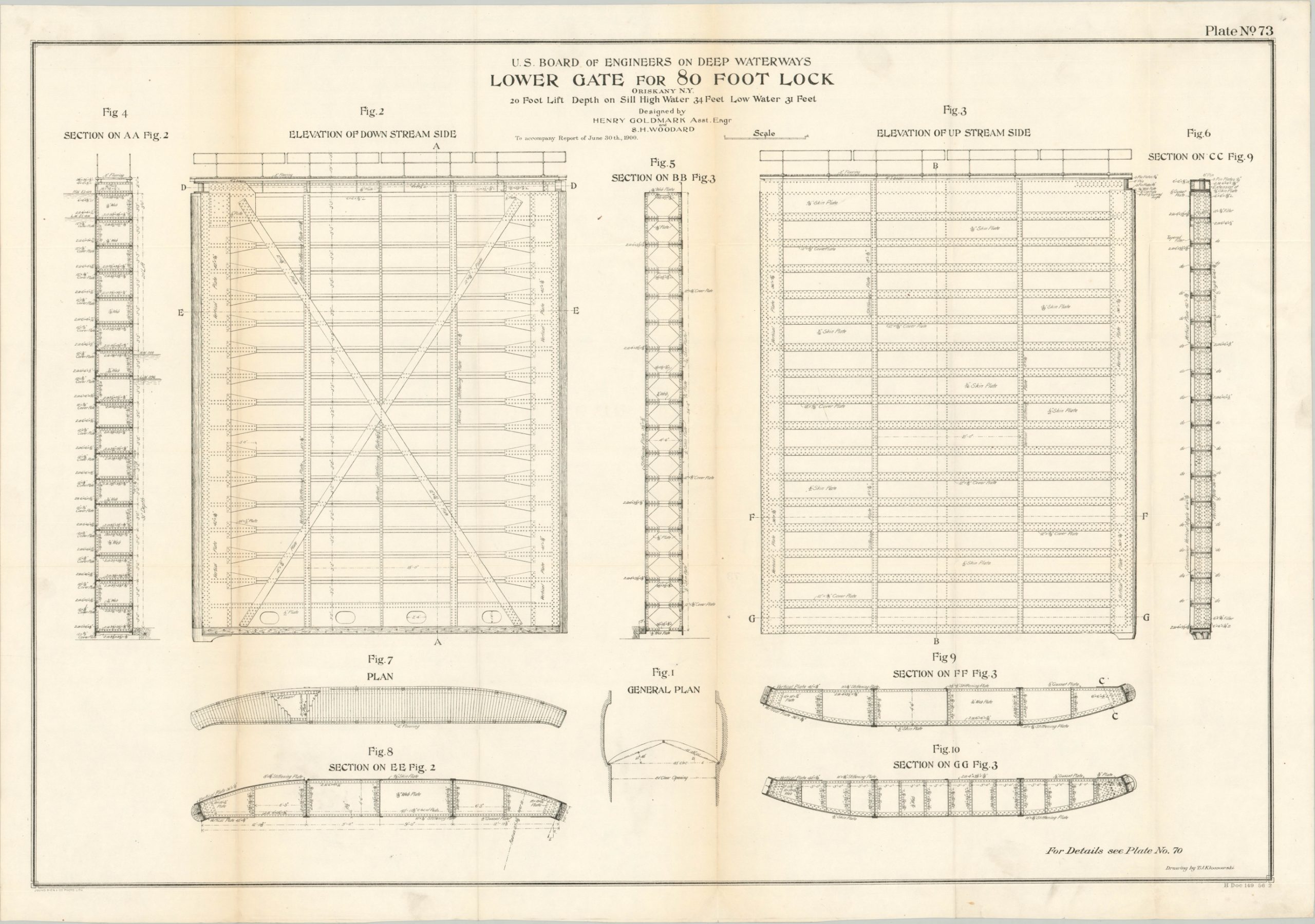
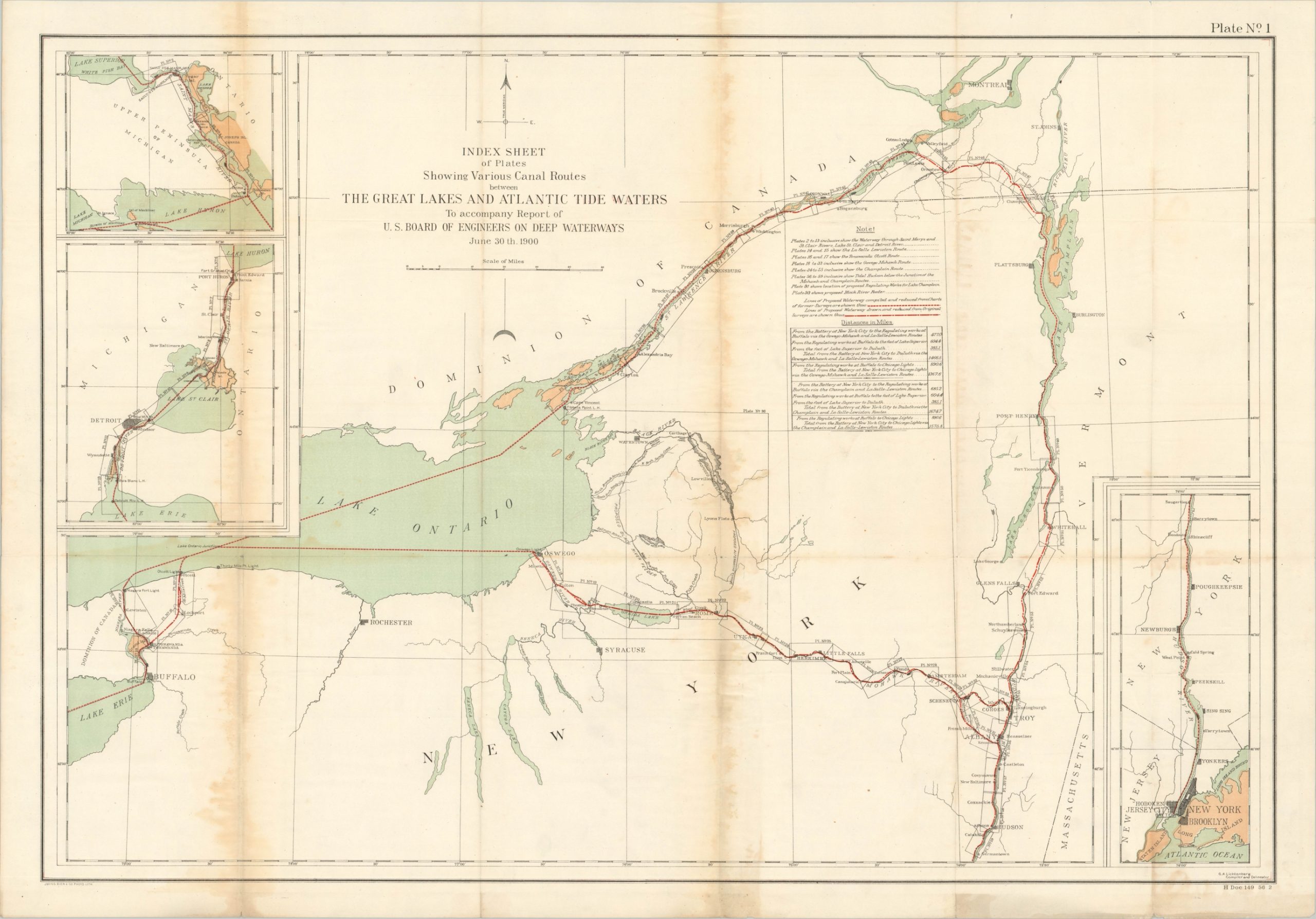
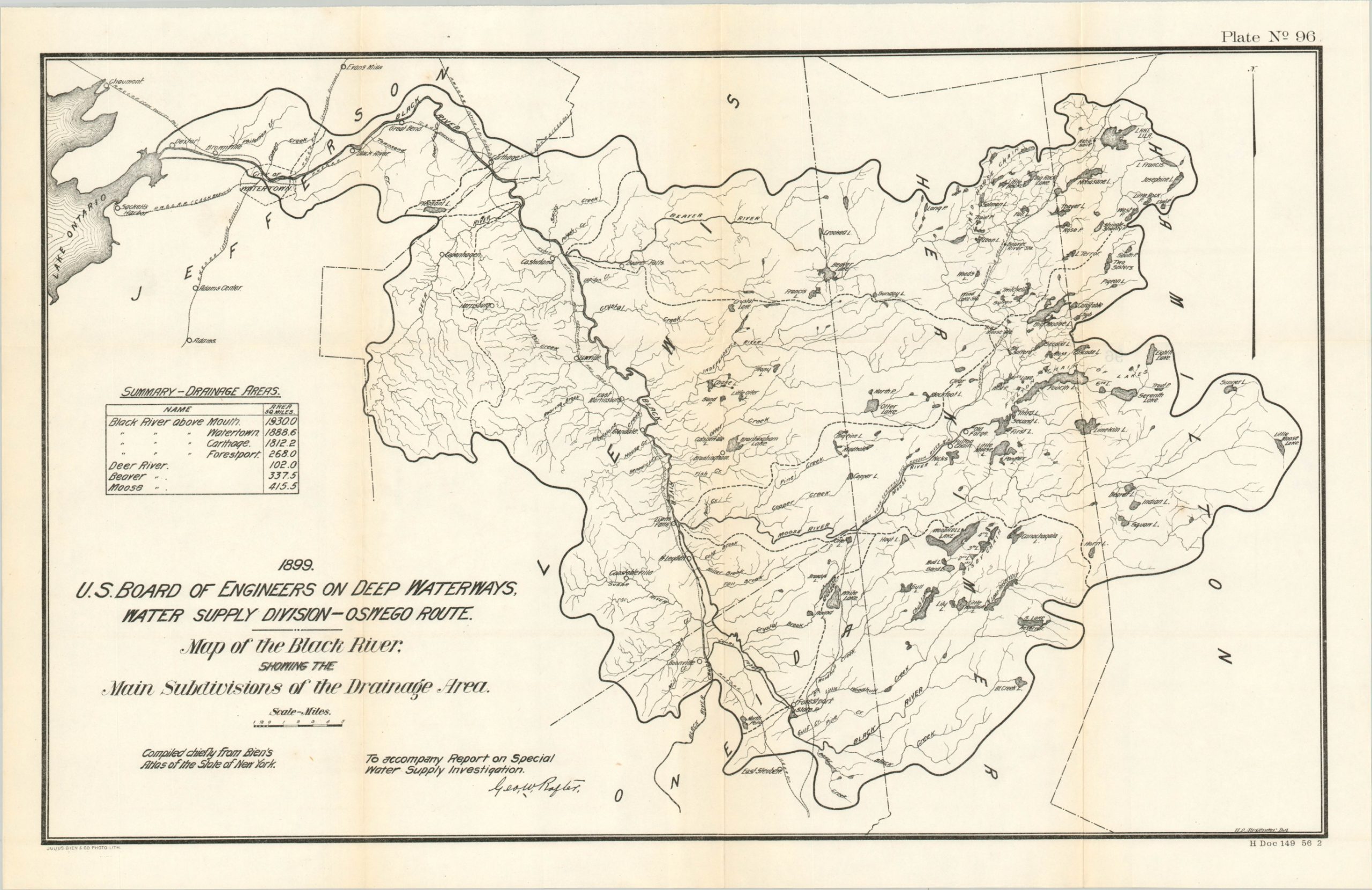
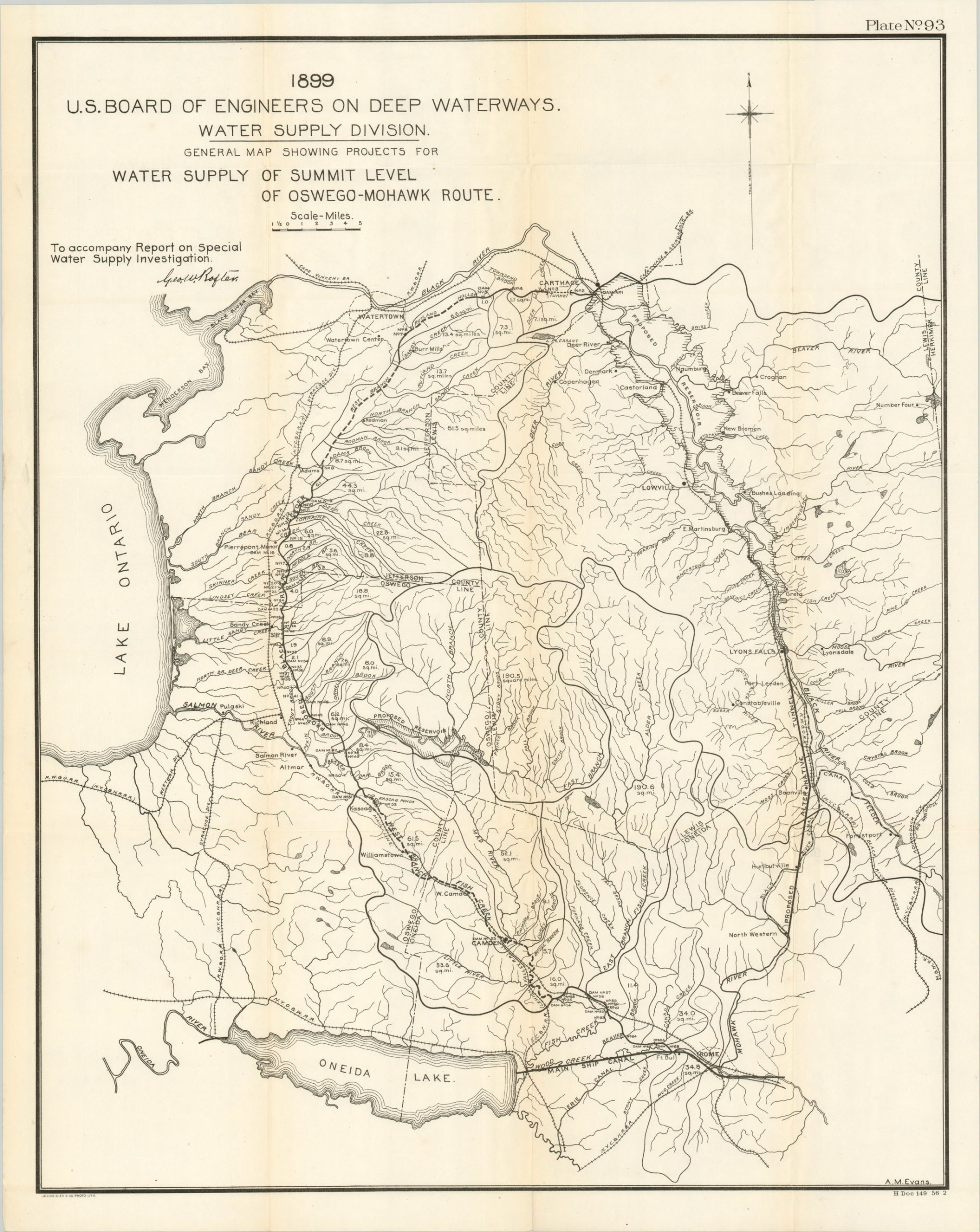
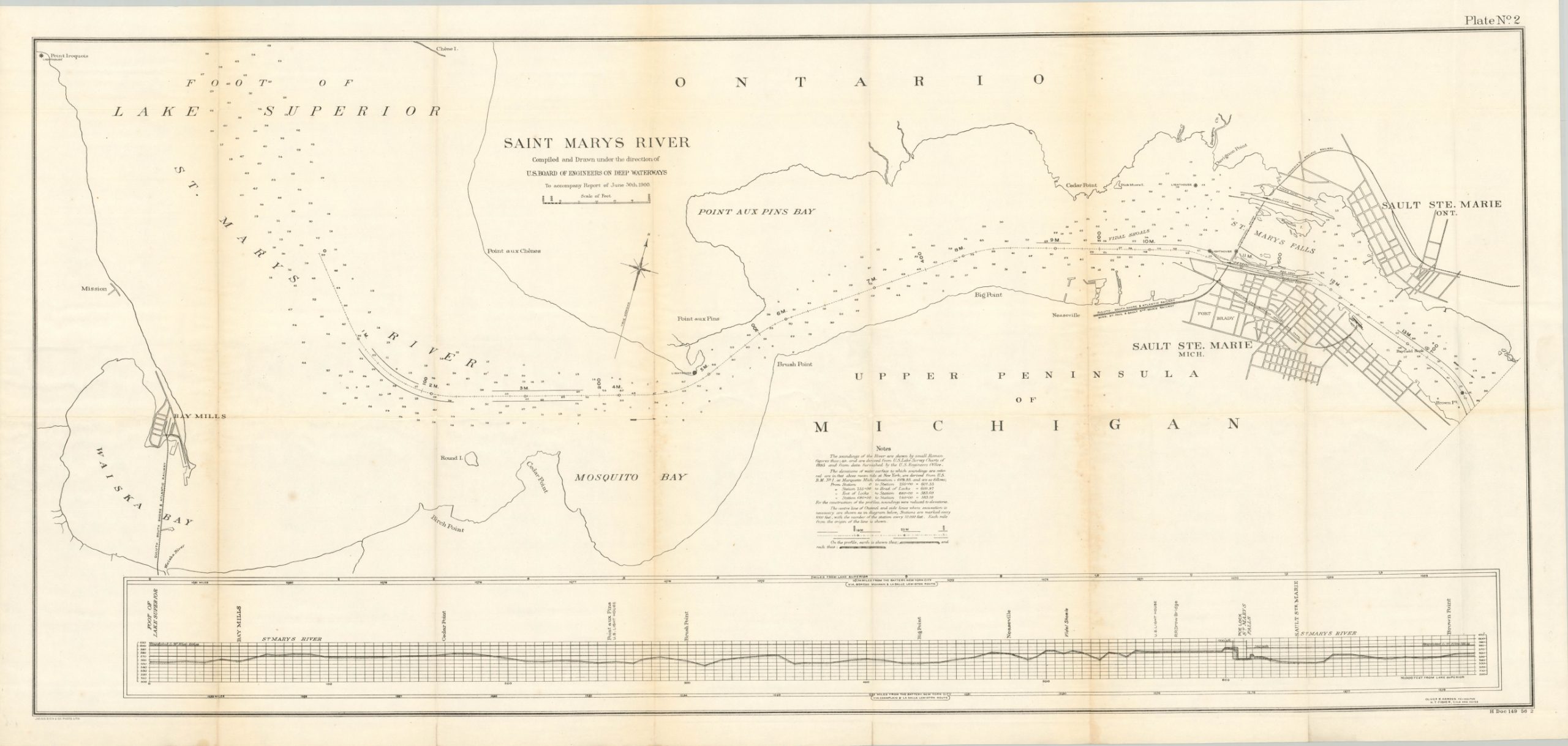
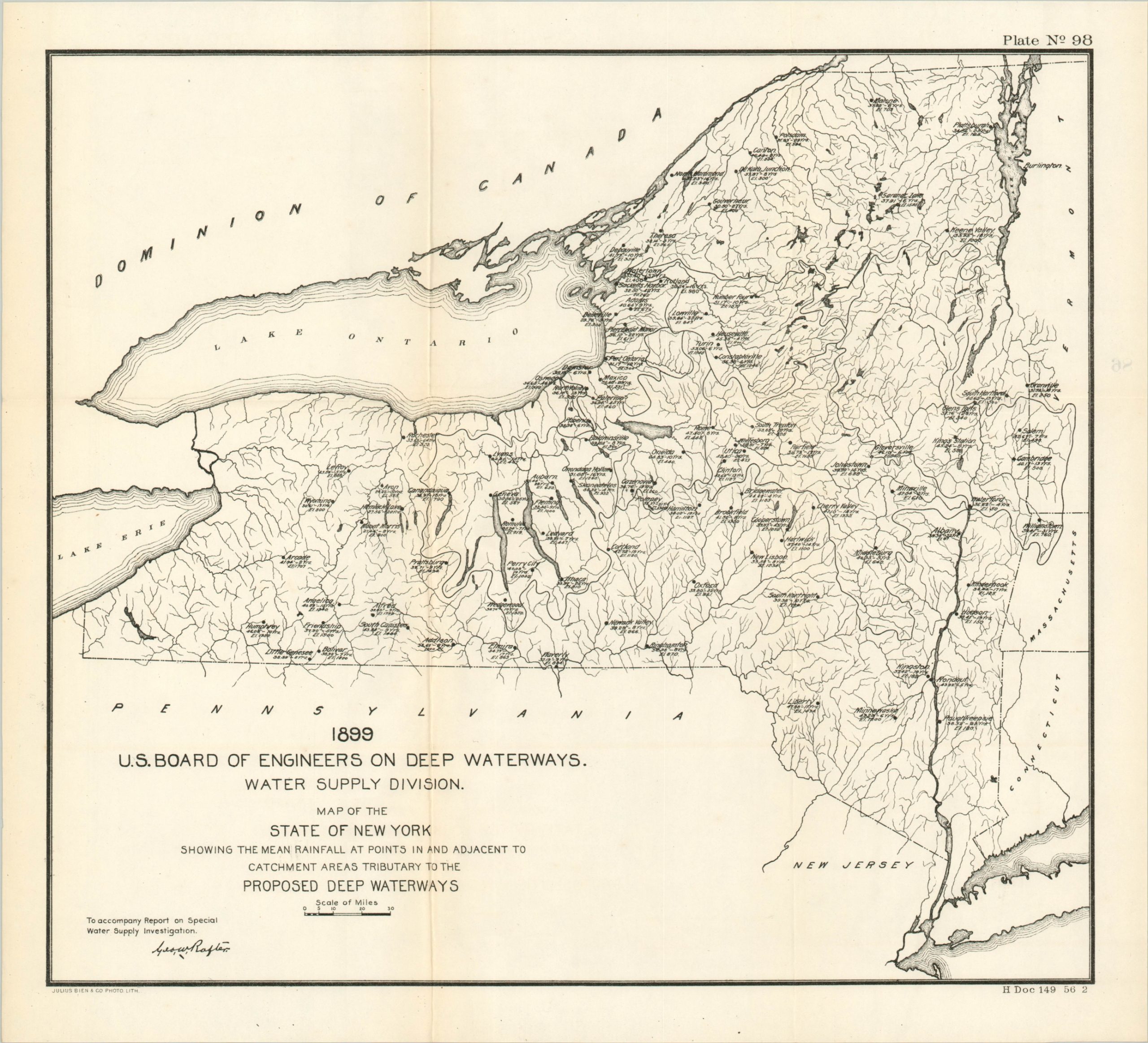
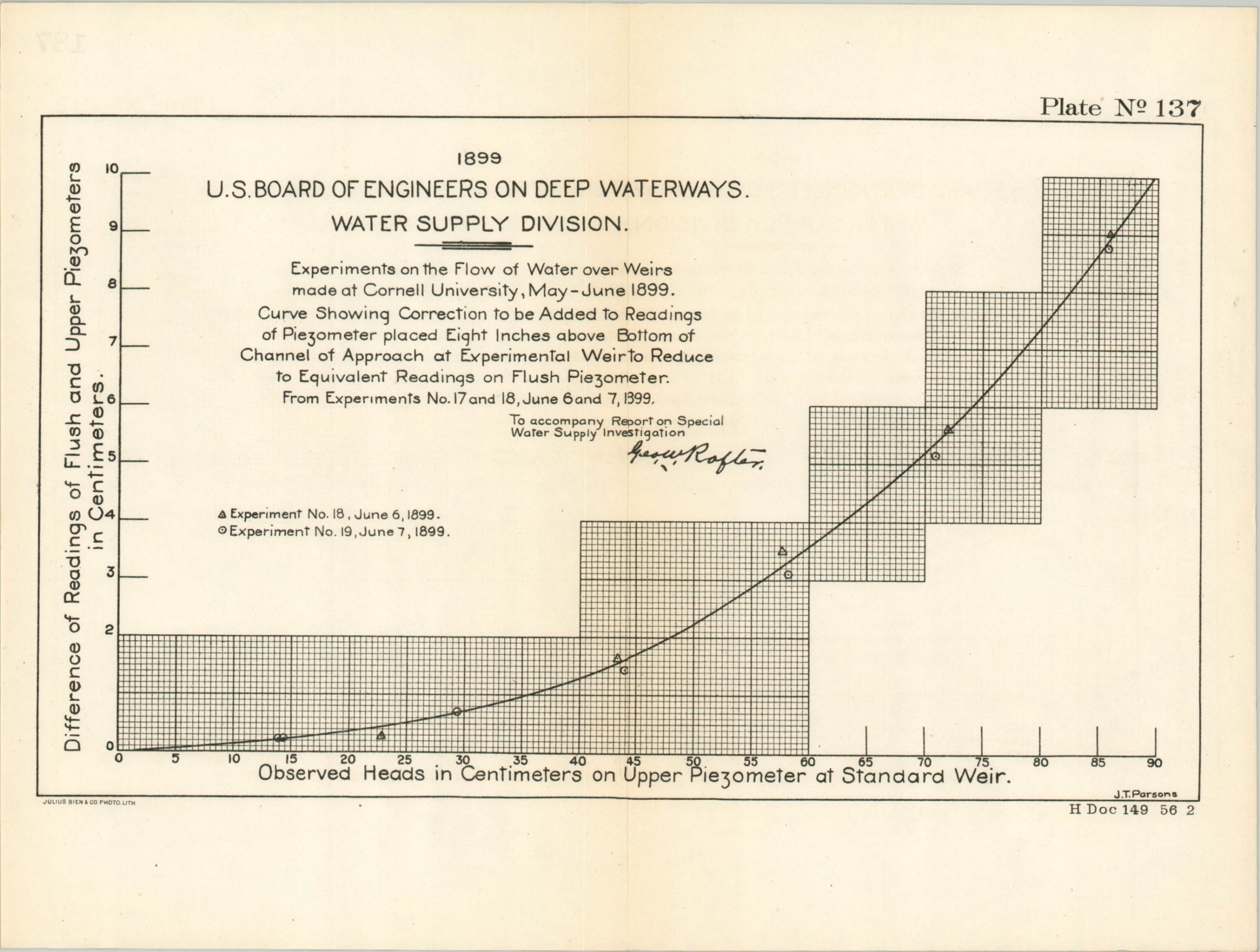
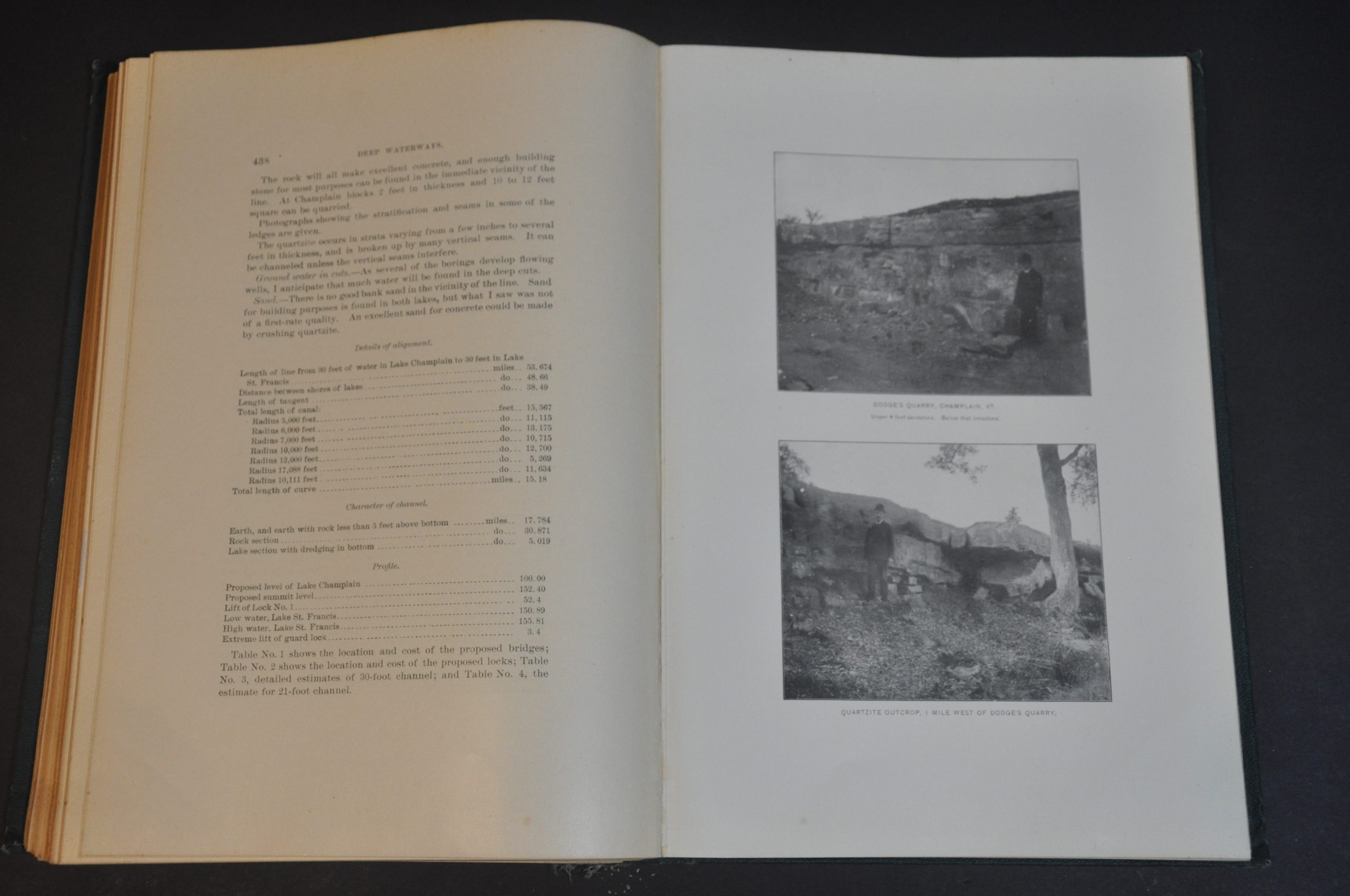
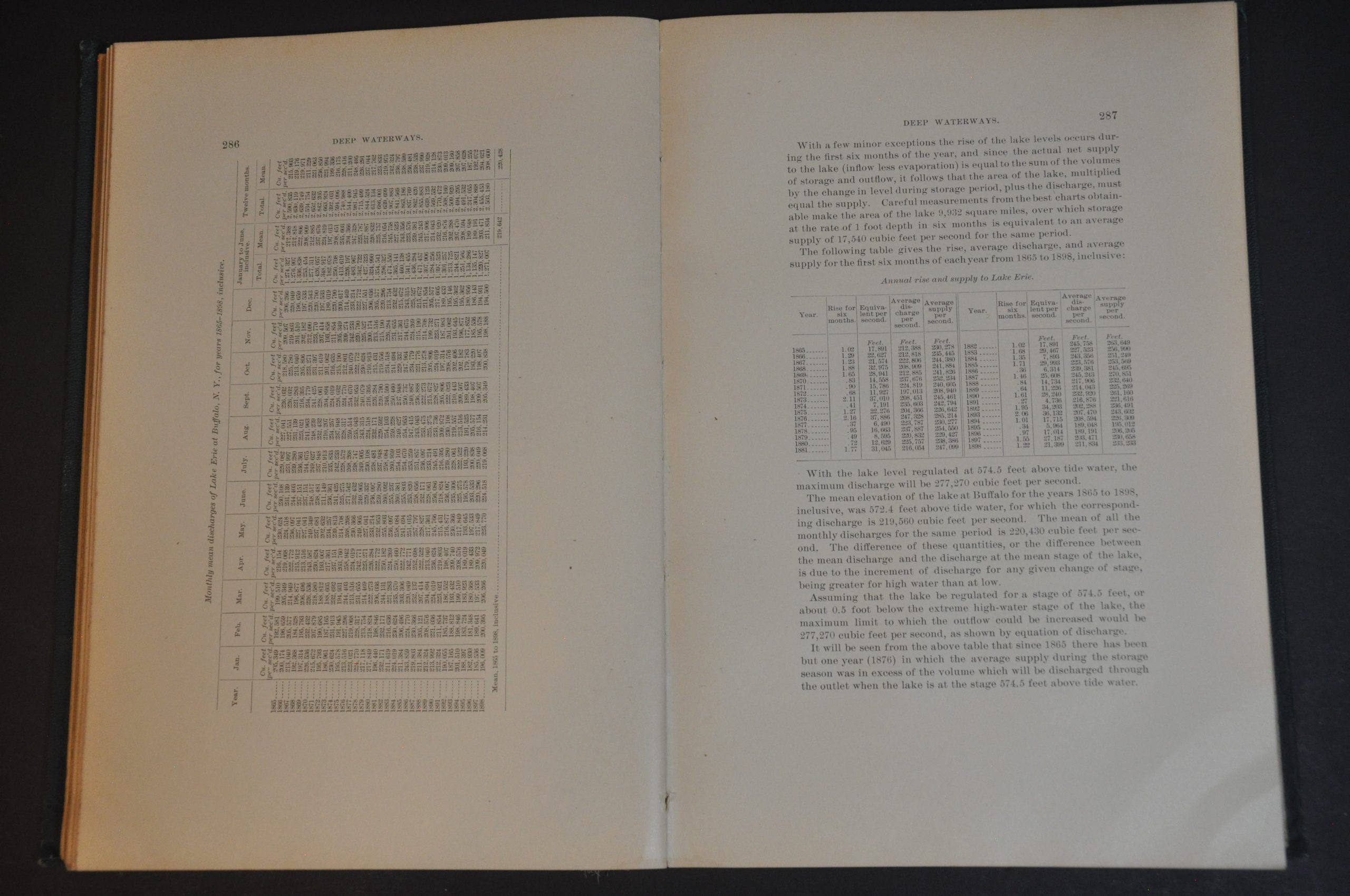
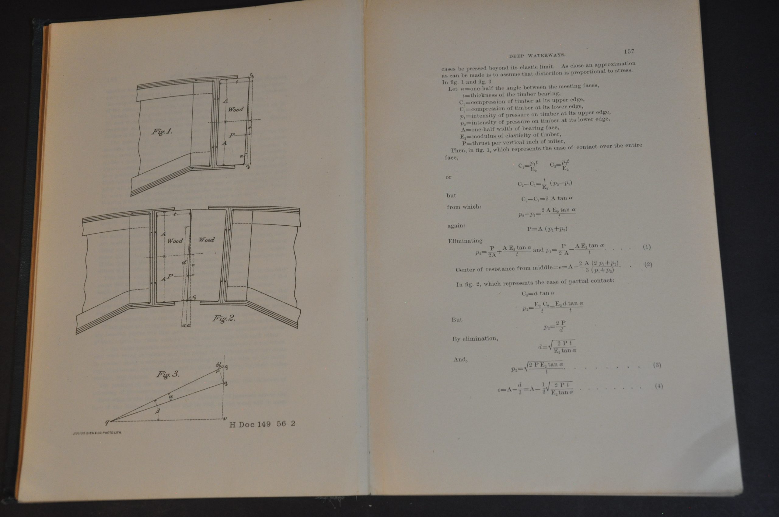
It is that report, issued for the House of Representatives, seen here in its complete form. Over 1,100 pages of text, photographs, charts, and diagrams outline various proposed routes in tremendous detail. Cost estimates, geographical and political considerations, scientific observations, and political correspondence are presented within the two printed volumes. In addition, a large slipcase contains 141 folding maps, charts, diagrams, and profile views of varying sizes. See photos of the Table of Contents for a complete index of the plates – only a few examples have been included here.
Map Details
Publication Date: 1900
Author: United States War Department
Sheet Width (in): See Description
Sheet Height (in): See Description
Condition: A
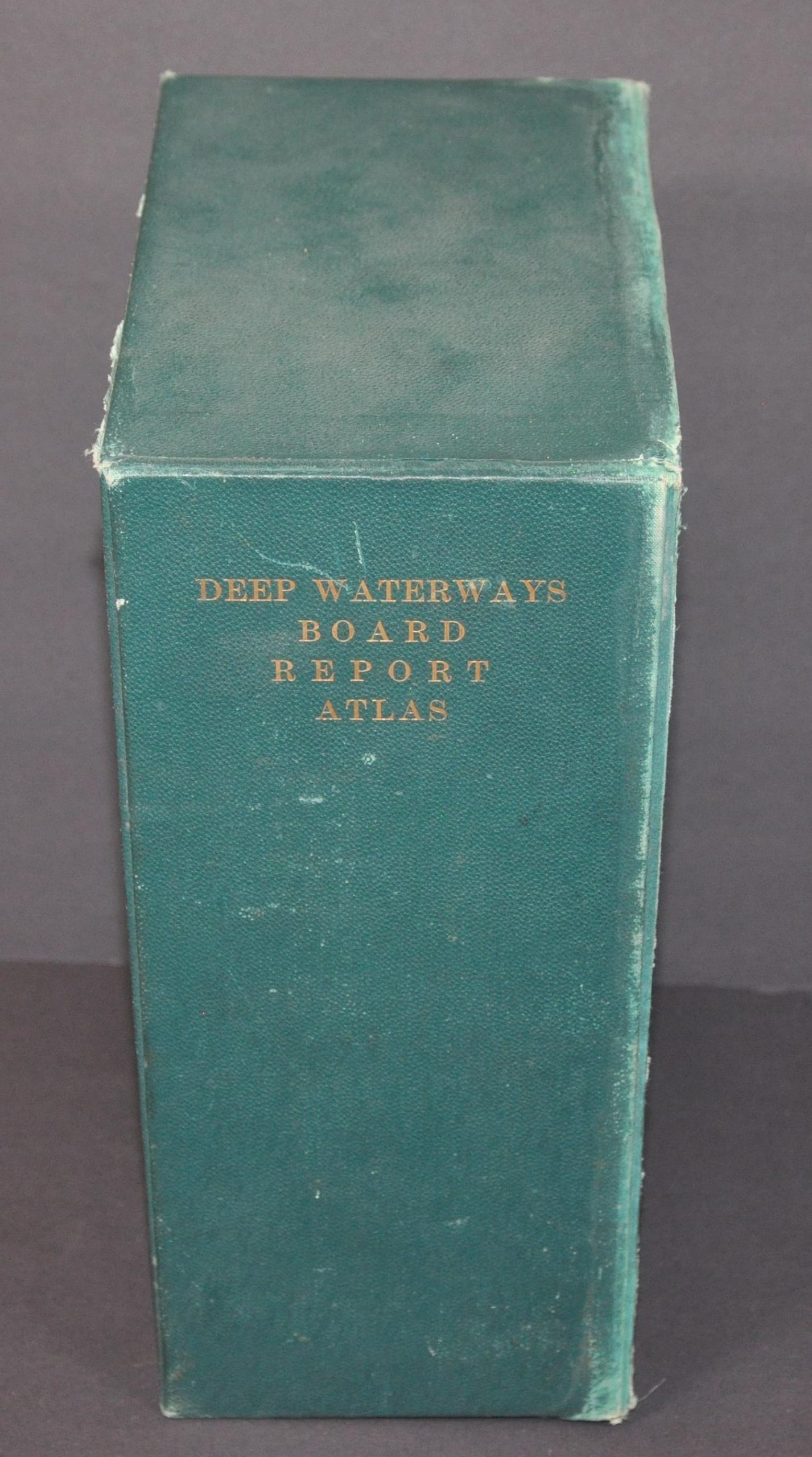
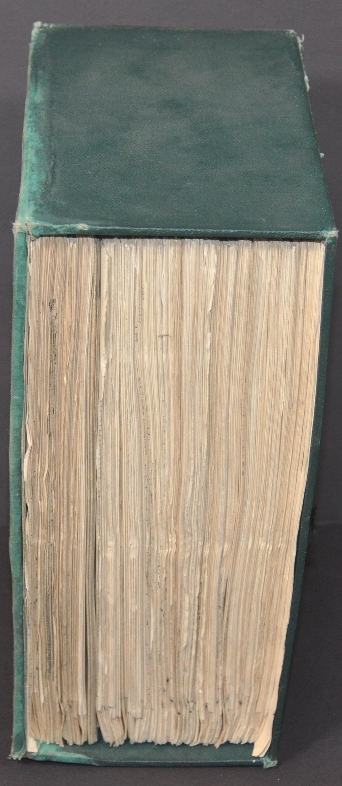
Condition Description: Incredible two-volume set, plus the complete collection of supplemental plates (141 in total), all bound in original full green leather with gilt embossed spines. The covers and spines of the text volumes are a bit worn and battered, especially in the corners and there are old owners inscriptions on the pastedown of the flyleaf. Contents are lightly toned and show faint spotting and smudges, consistent with age. Volume I is 571 pp. + title page and transmittal letter. Volume II includes a title page and appendix, then carries from pages 572-1115. The folding maps and charts are in very good condition overall, with most of them never having been opened. Those on the sides show some soiling on the outside and it's possible that separations have formed along fold lines as a result of age. Not every map has been examined individually for condition, but they have been counted and confirmed to be present and in order. The slipcase that holds the map is in good condition, but shows some moderate water damage on one side and some loosening at the hinges and seams.
$825.00
1 in stock

