
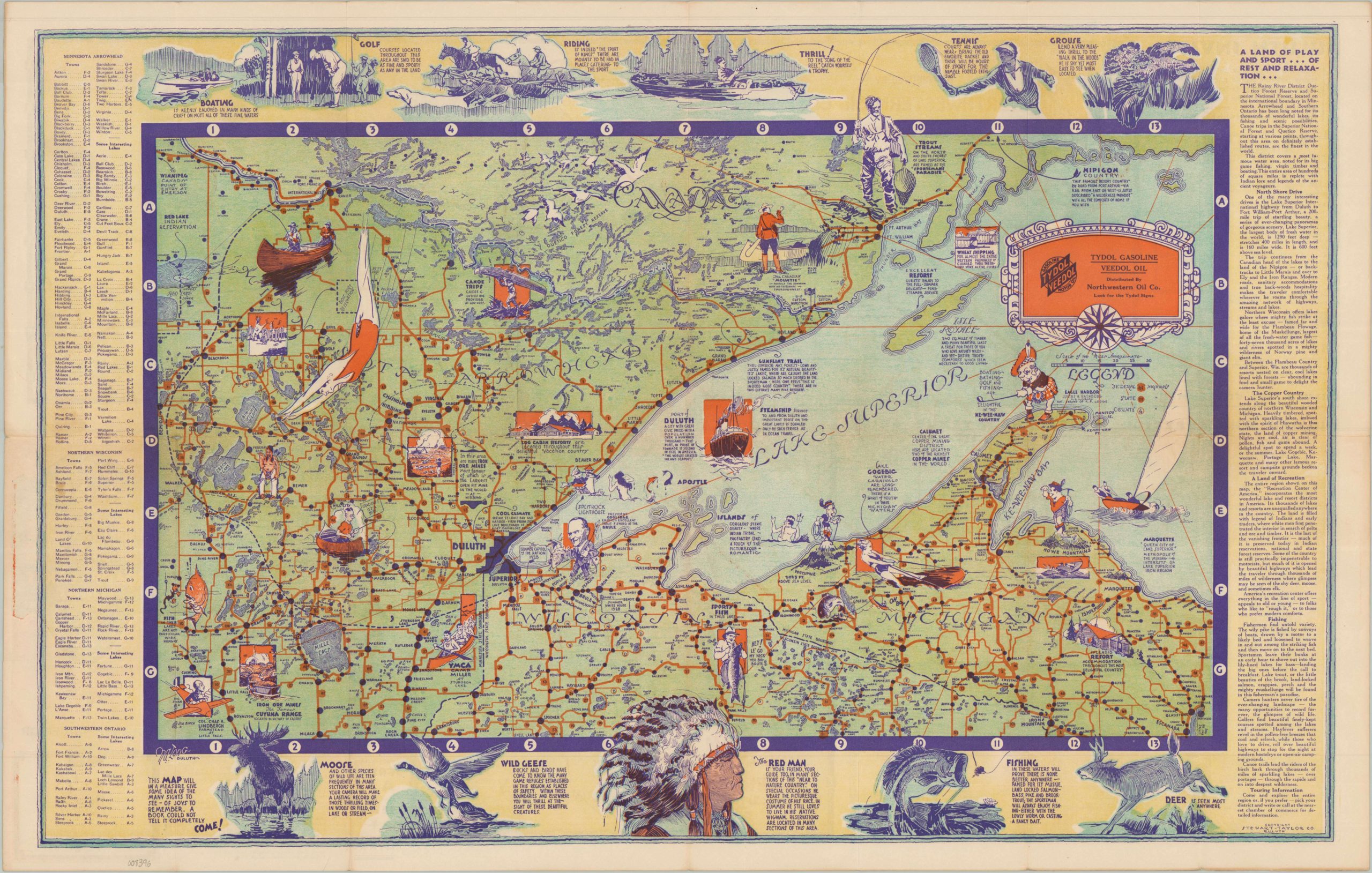
Recreational and Historical Map of Minnesota Arrowhead, Southwestern Ontario, Northern Wisconsin, Northern Michigan Showing Roads – Lakes Towns
$195.00
A Land of Play and Sport…of Rest and Relaxation…
1 in stock
Description
This inviting tourist map of the North Woods region was issued during the Great Depression, when those who could afford to travel were looking to do so on a budget while escaping the stress and grime of the city. Hunting, fishing, hiking, golf, and boating are among the numerous leisure activities available across the region, full of lakes, forests, and streams. The ‘Red Man’ is noted as a quaint novelty – one of numerous seasonal amusements to be enjoyed. Charming illustrated vignettes showcase further attractions, including Calvin Coolidge fishing at Brule, the Lindbergh farmstead at Little Falls, and canoe trips in the Boundary Waters.
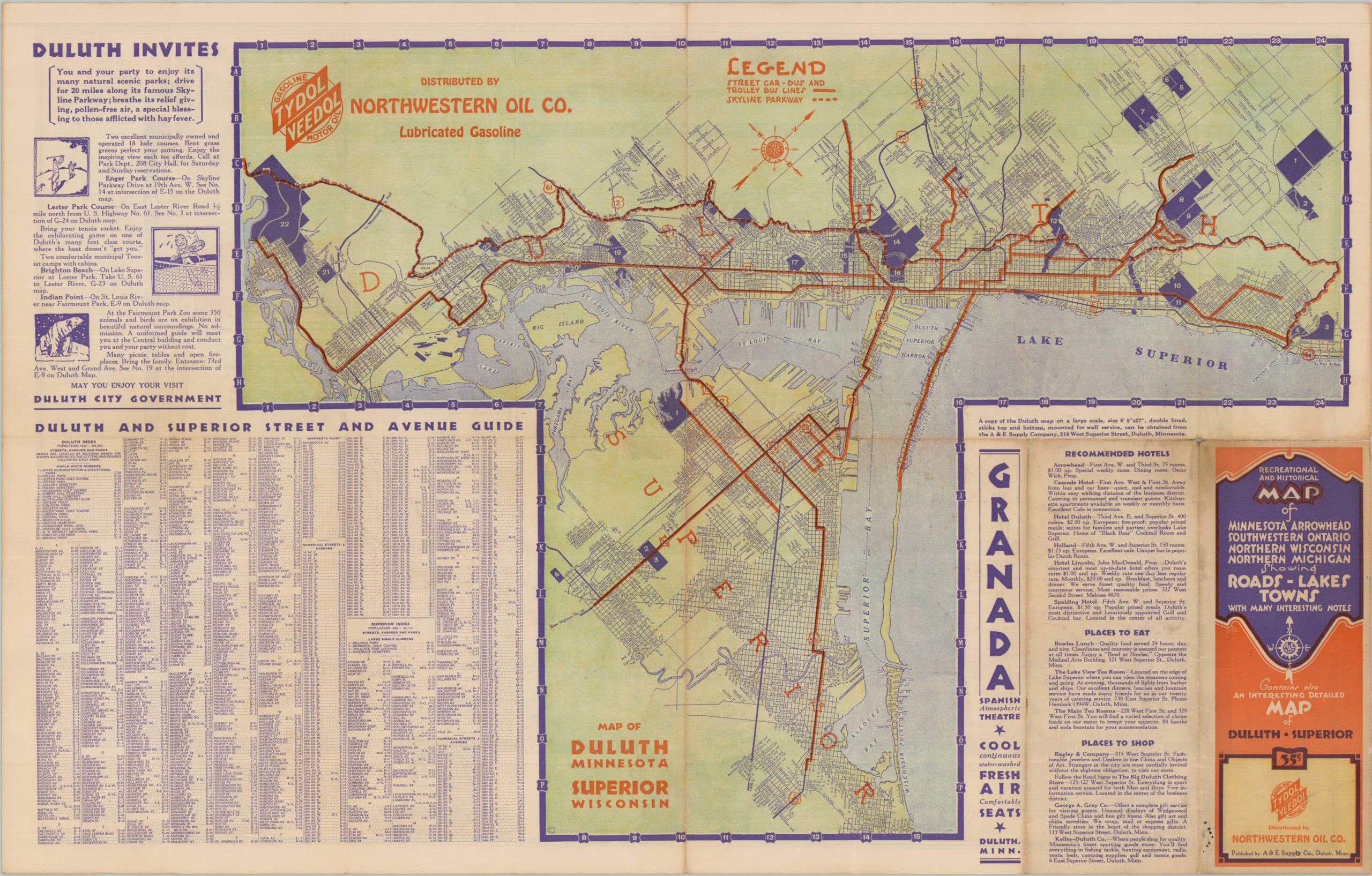
The verso of the sheet offers a street map of Duluth, Minnesota and Superior, Wisconsin. The pictorial map is credited to M. Long of Duluth (signature, lower left) and was copyrighted about 1933 by the Stewart-Taylor Company. Published by the A&E Supply Company (also in Duluth) and distributed by the Northwestern Oil Company to promote its Tydol Veedol products.
Map Details
Publication Date: c. 1933
Author: M. Long
Sheet Width (in): 28.00
Sheet Height (in): 18.00
Condition: A-
Condition Description: Double-sided map with light wear and toning along original folds, consistent with age and use. Minor marginal soiling, including some red ink staining on the left side. Very good condition overall.
$195.00
1 in stock