Rand McNally Official 1923 Auto Trails Map: District 8
Early road map of Wisconsin and northern Illinois issued by Rand McNally.
Out of stock

Description
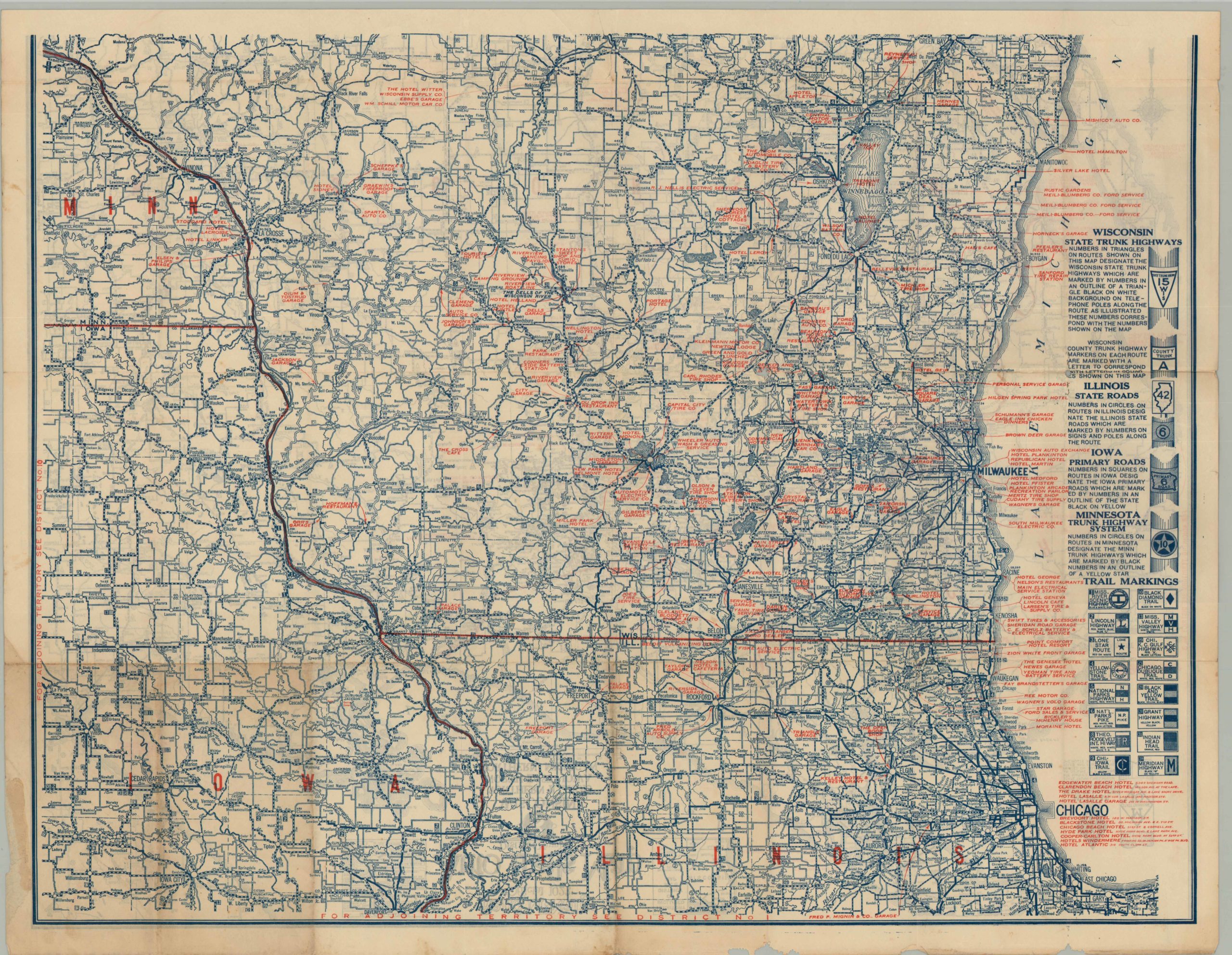
Federal Aid Highway Acts in 1916 and 1921 providing matching government funds for state sponsored highway improvements. The results of such efforts are seen on this 1923 Rand McNally map of northern Illinois, Wisconsin, Iowa and Michigan.
It shows a relatively robust highway system comprised of paved (solid) and crushed gravel (hashed) roads. Distances between towns are helpfully provided, and local services such as hotels and mechanics are overlaid in red text. Explanations for each state highway are provided in the blank margins – as of yet there was no uniform system of identification or numbering. The density of information provided a comprehensive route planning aid in the early automobile age; one reason why Rand McNally was able to continue to dominate the commercial map market in the United States through the 20th century.
Map Details
Publication Date: 1923
Author: Rand McNally
Sheet Width (in): 28.00
Sheet Height (in): 21.50
Condition: B
Condition Description: Creasing and some separation along originally issued fold lines. Some discoloration, but very presentable given it's age and use.
Out of stock