
[Property of the Michigan Central Railroad in Northern Indiana and Chicago]
$450.00
Cataloging railroad property across Chicagoland during the mid-20th century.
1 in stock


Description
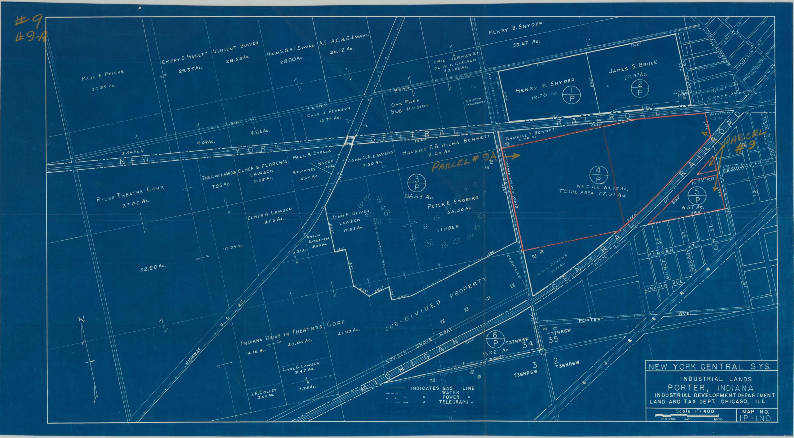
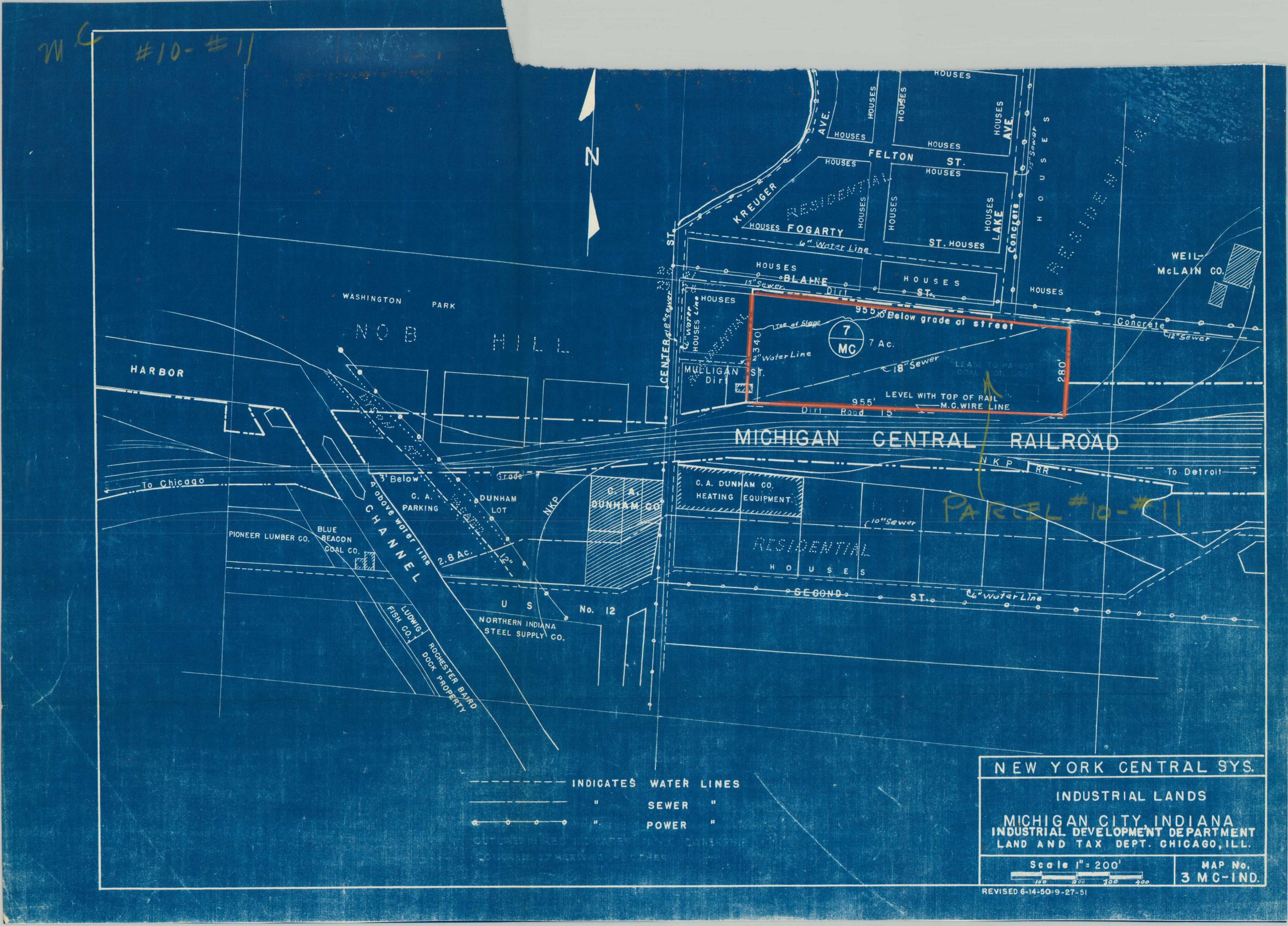
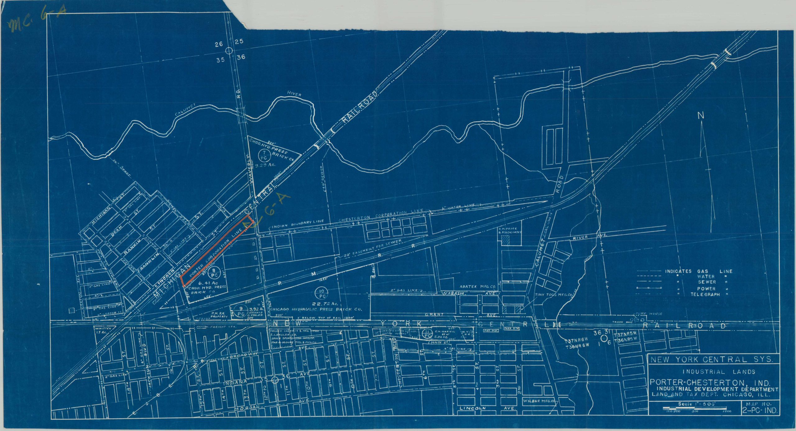
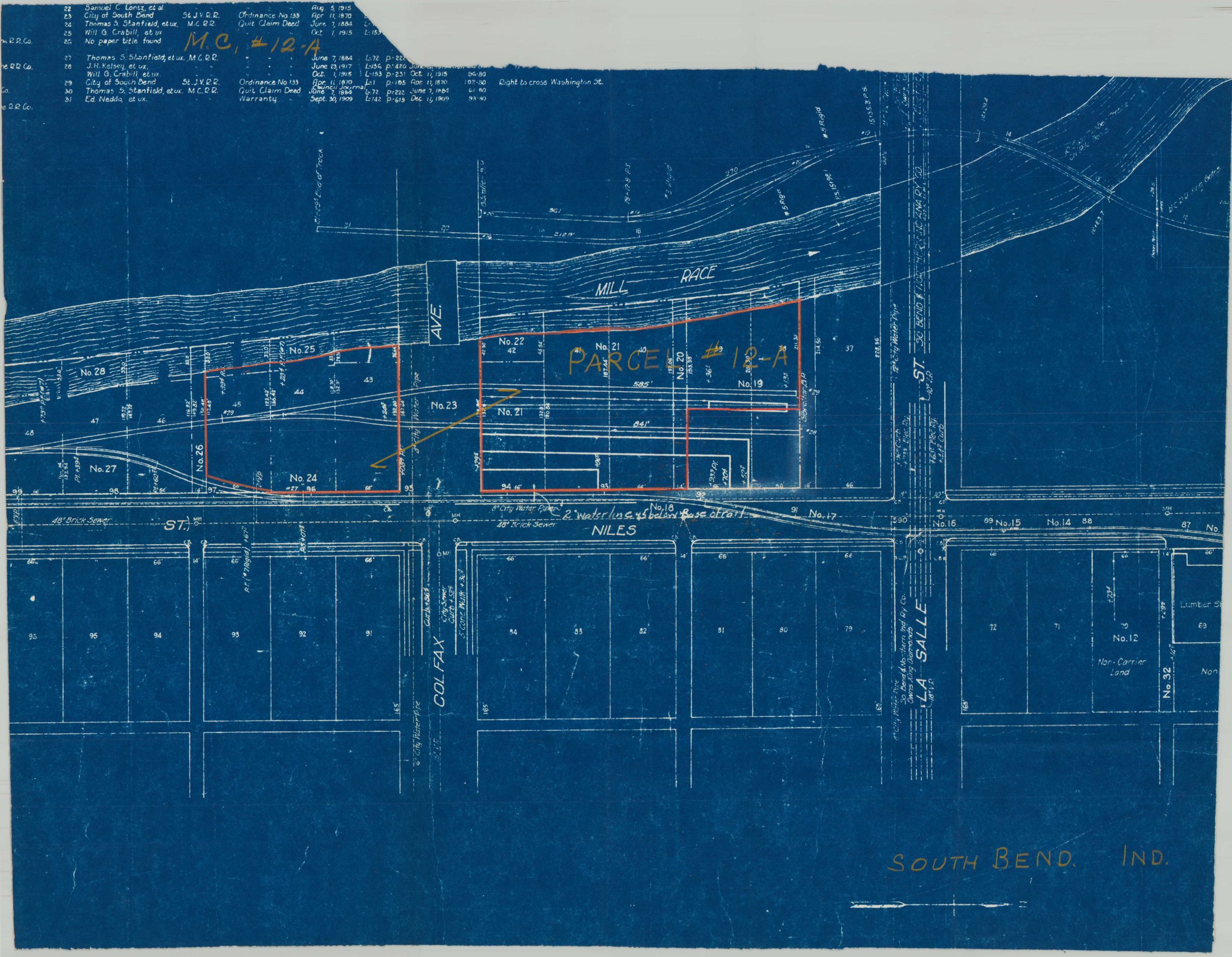
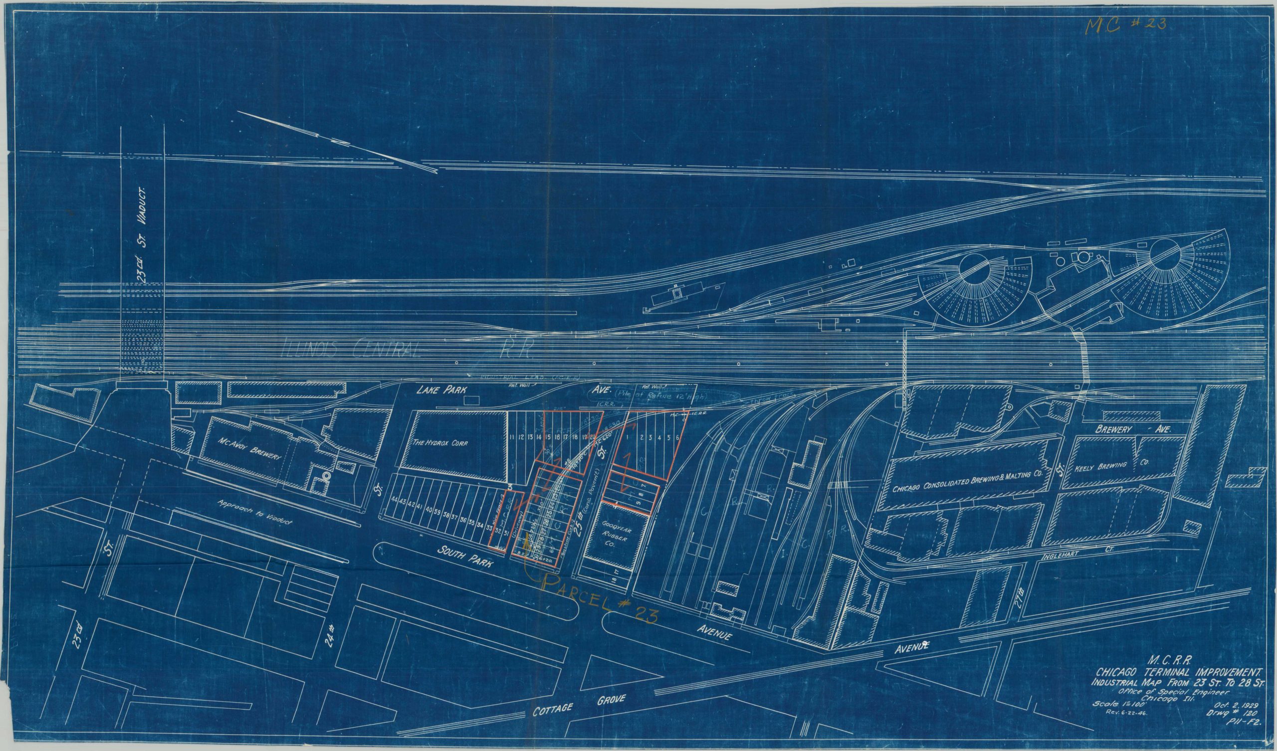
This is a fascinating collection of eight assorted blueprint plans showing the property of the Michigan Central Railroad, prepared for use by the Land and Taxation Department of Chicago, Illinois. The sheets are dated variously from the late 1940s (earliest 1946) to the early 1950s (latest 1951). At the time, the operations of the line (formerly an independent subsidiary) were becoming completely integrated by the New York Central.
Each large-scale map is marked with numbered parcels owned by the railroad and therefore presumably subject to taxation. Major property owners, local businesses, primary infrastructure (water, gas, electricity, etc.), and other relevant features are labeled throughout. The group covers a large area across northern Indiana including Michigan City, Chesterton, South Bend, Porter, and Gary; plus portions of Chicago. Notable corporate operations (not part of railroad property) include Pullman Standard Car Manufacturing, Chicago Consolidated Brewing and Malting, Hydrox, and McAvoy Brewery.
Map Details
Publication Date: 1946 - 1951
Author: Chicago Land and Taxation Department
Sheet Width (in): See Description
Sheet Height (in): See Description
Condition: A-
Condition Description: Interesting archive of 8 blueprint maps, on individually sheets varying in size from approximately 18" x 13" to 34" x 20". Each is creased along old folds and somewhat rough along the edges, probably where trimmed from a larger sheet. Manuscript annotations throughout in a variety of ink colors and pencil, including property outlines (generally pink) and parcel numbers (yellow). Based on the latter information, the archive is apparently incomplete, as several numbers are omitted.
$450.00
1 in stock