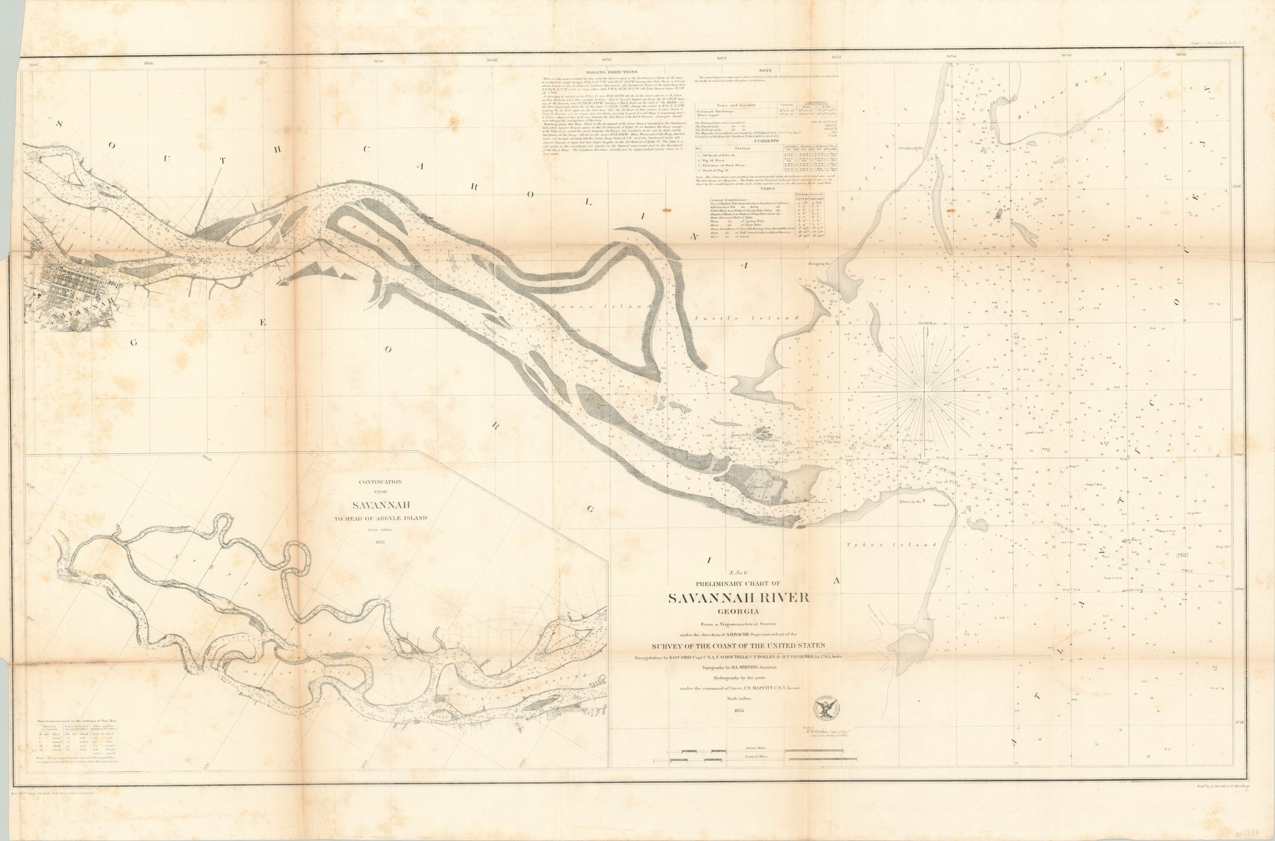
Preliminary Chart of Savannah River Georgia
$75.00
The approaches to Savannah prior to the Civil War.
1 in stock
Description
This wonderfully detailed coastal survey shows the route of the Savannah River between its mouth and the city named after it – one of Georgia’s largest. Depth is provided in fathoms and small abbreviations (explained in the lower left) symbolize the composition of the riverbed. Maritime utility is extended with information regarding tides, currents, and sailing directions listed in a table at the top of the page.
Fort Pulaski, completed in 1847, is shown on Cockspur Island and navigational beacons and buoys are labeled individually within the image. An inset in the lower left shows the continuation of the river to the head of Argyle Island. The chart was published in 1855 by the United States Coastal Survey under the direction of A.D. Bache.
Map Details
Publication Date: 1855
Author: U.S. Coast Survey
Sheet Width (in): 34.60
Sheet Height (in): 22.40
Condition: B-
Condition Description: Moderate to heavy toning visible along the left side of the sheet, concentrated especially along former fold lines. 4" tear in the lower left has been repaired on the verso. Some moderate edge wear and scattered soiling throughout, but the image remains intact and clear.
$75.00
1 in stock

