Plat Book of Nodaway County, Missouri
Property ownership atlas of Nodaway County in northwest Missouri.
Out of stock


Description
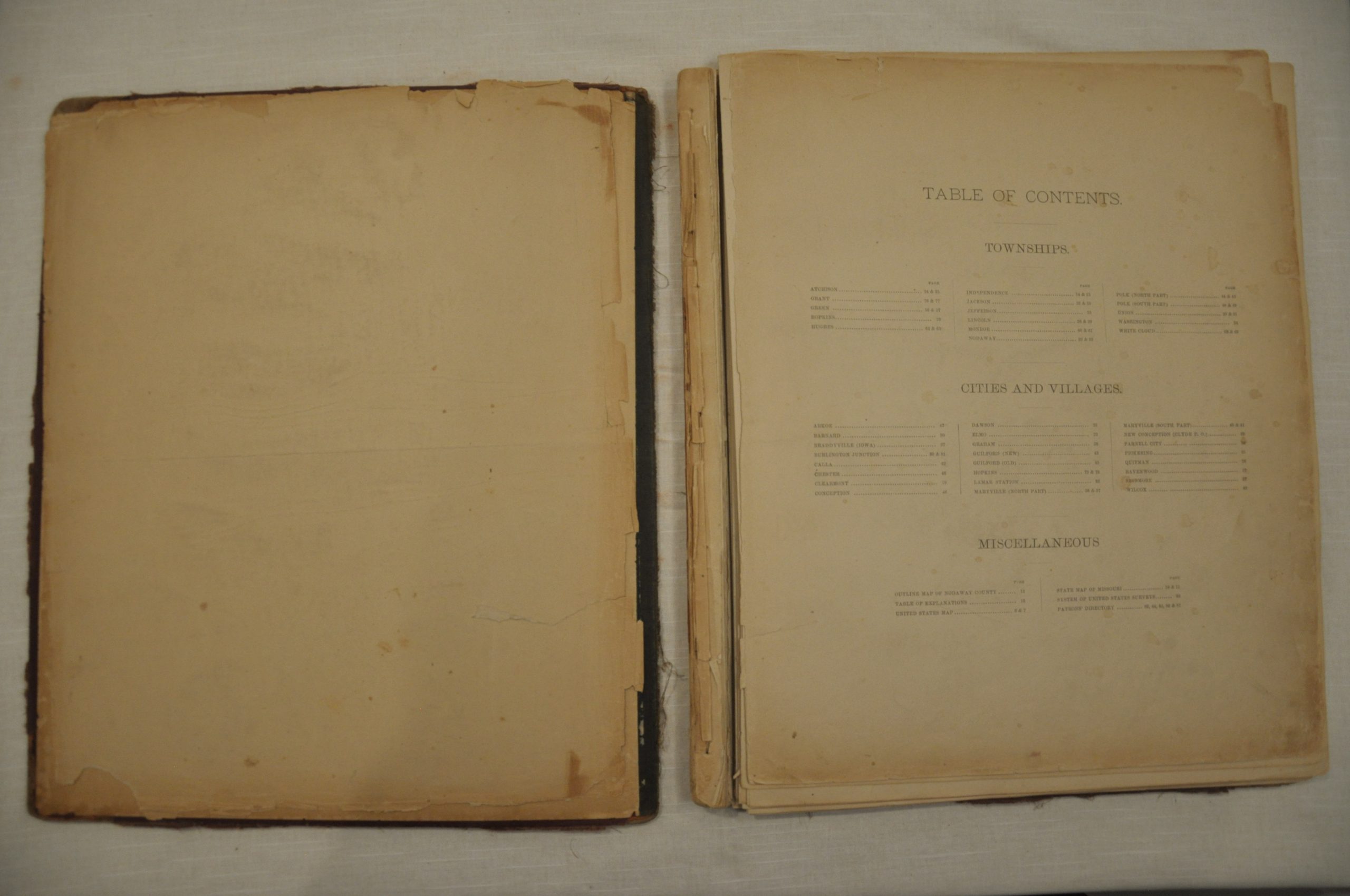
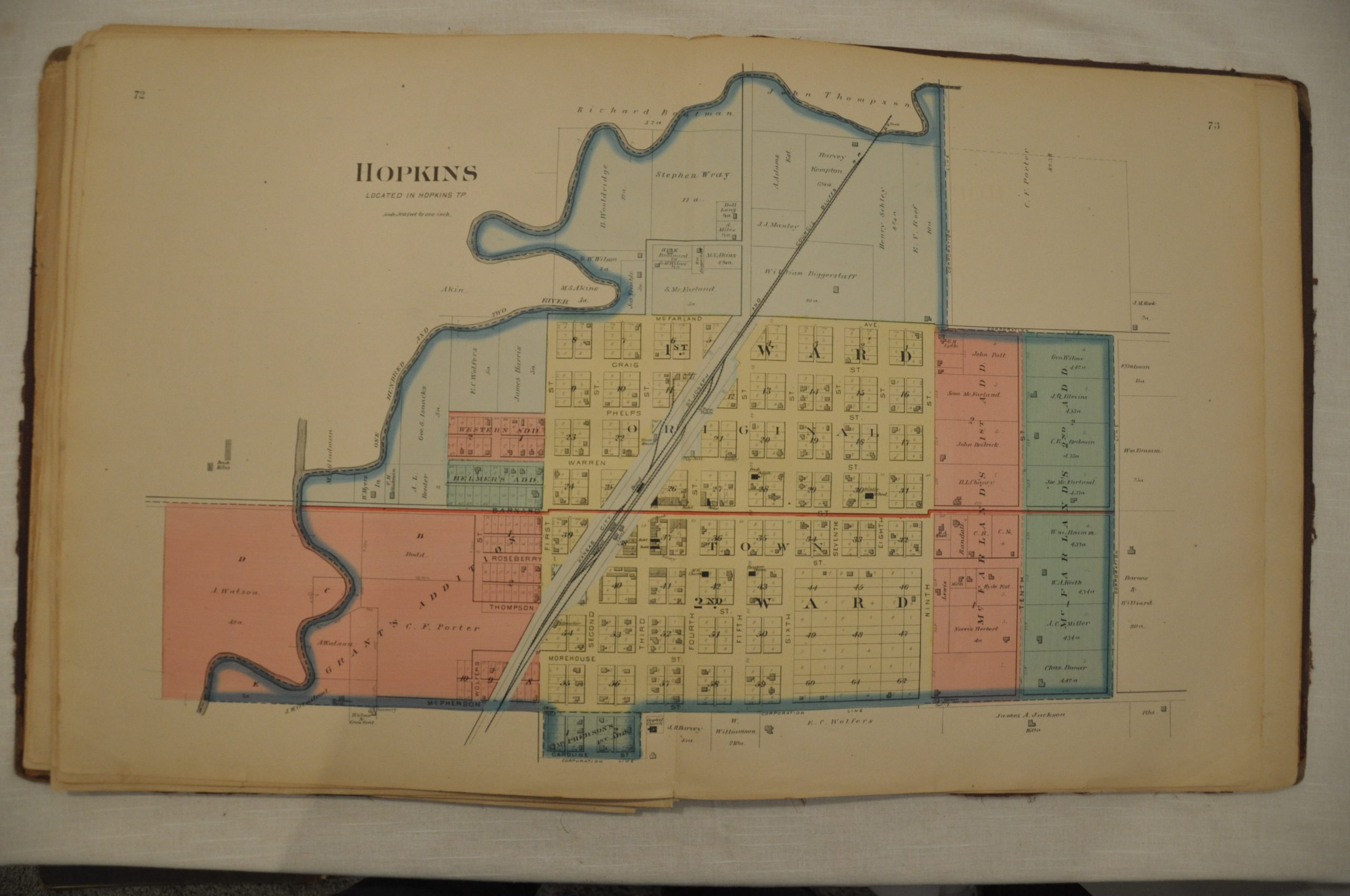
This atlas of Nodaway County, Missouri was published in Philadelphia in 1869 by the NorthWest Publishing Company. After an outline map of the county centered on Maryville, the seat and largest town, the atlas contains 33 single and double page maps which show land ownership in the townships, villages and towns. Properties are identified by the owner’s names, and the maps feature outlines of prominent buildings (often labeled), transportation routes and important geographic features. Each sheet shows a bold impression courtesy of the steel plate engraving with expertly applied hand color.
Map Details
Publication Date: 1893
Author: NorthWest Publishing Co.
Sheet Width (in): 15
Sheet Height (in): 18
Condition: C
Condition Description: The atlas and all maps are loose, but the original red cloth covers are present. Tattered spine and rubbed corners. All pages are accounted for with the exception of the title page, state map of Missouri and map of the United States. Includes 18 single page and 16 double page lithographed maps, with 7 pages of text. Maps are generally in excellent condition, though a few have minor to moderate soiling consistent with age. Printed on strong paper with bold color.
Out of stock