Plan of the Underground Work of the Lac Labelle Mines
Copper mining in Michigan’s Upper Peninsula.
Out of stock
Description
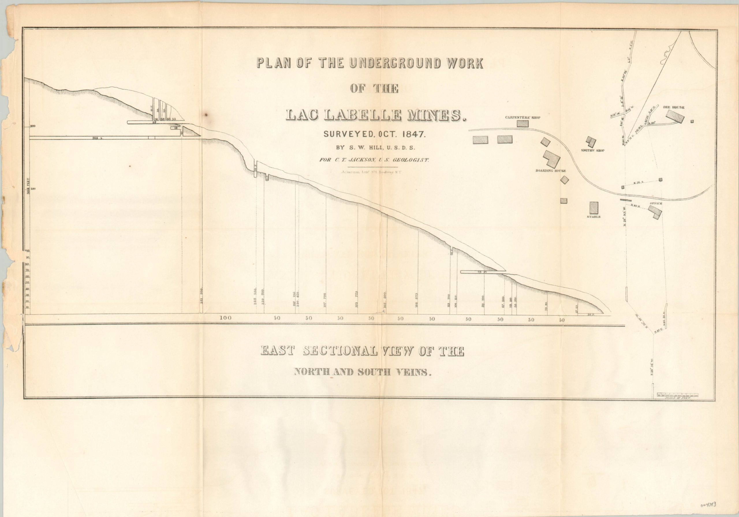
This plan shows one of the copper numerous mines in operation near Lac La Belle, an unincorporated community in Michigan’s Upper Peninsula. A cutaway diagram outlines the construction of several shafts, possibly probing for veins, while an overhead view shows the cluster of nearby supporting buildings. A carpenter’s shop, ore house, smith’s shop, stable, boarding house, and office are all labeled.
Surveyed by S.W. Hill in 1847 and published by the Government Printing Office in 1849 as part of the Annual Message and Accompanying Documents to Congress. Lithography by Ackerman in New York.
Map Details
Publication Date: 1849
Author: S.W. Hill
Sheet Width (in): 18
Sheet Height (in): 12.5
Condition: B+
Condition Description: Toning and creasing along originally issued fold lines. Uneven left binding edge shows several small tears, one of which just touches the plateline and has been repaired on the verso with archival tape.
Out of stock