Pictorial Map of Missouri
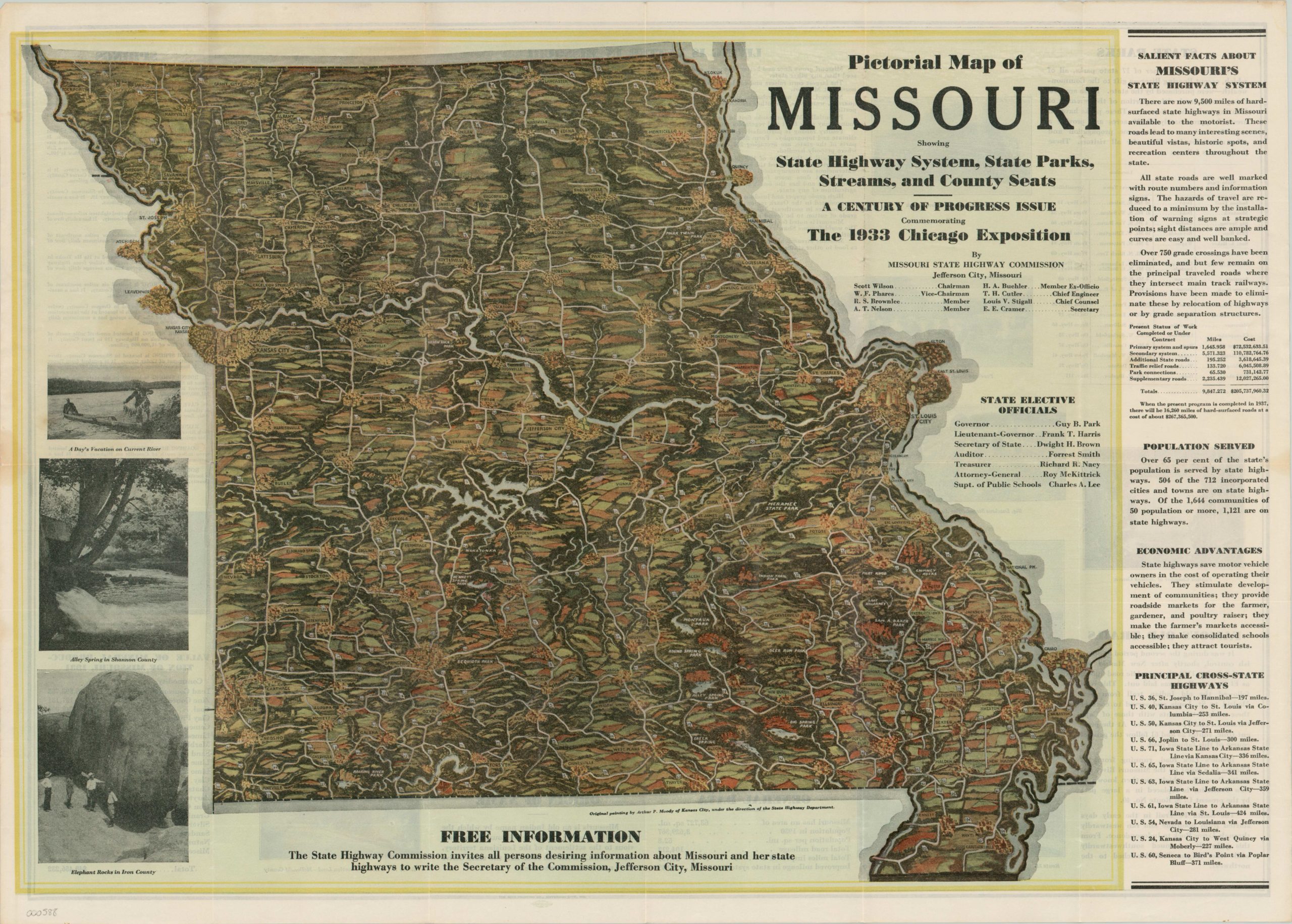
Promotional map of Missouri designed for distribution at the 1933 World’s Fair in Chicago.
Out of stock
Description
This pictorial map of Missouri was issued by the Missouri State Highway Commission and drawn by Arthur P. Moody of Kansas City. It was published as promotional material for distribution at the 1933 World’s Fair in Chicago, known as the Century of Progress Exhibition. Missouri, like other states, was wracked economically by the Great Depression and looked to draw in additional funds from tourists and new residents.
With that in mind, the state’s highway system and easy accessibility is the primary theme of the image. Text along the right hand side laud’s the state’s investment in infrastructure, while the map shows an idyllic rolling countryside evenly partitioned with paved roads. Photographs on the left side and on the verso show the myriad of attractions in Missouri, all accessible by automobile!
Map Details
Publication Date: 1933
Author: Arthur Moody
Sheet Width (in): 27.60
Sheet Height (in): 20.00
Condition: A
Condition Description: Fold lines as originally issued, but otherwise near fine condition. Minor discoloration in a few panels on the verso.
Out of stock

