
Pictorial Map of Boston and Environs
$165.00
A banker’s welcome to Boston issued during the Great Depression.
1 in stock
Description
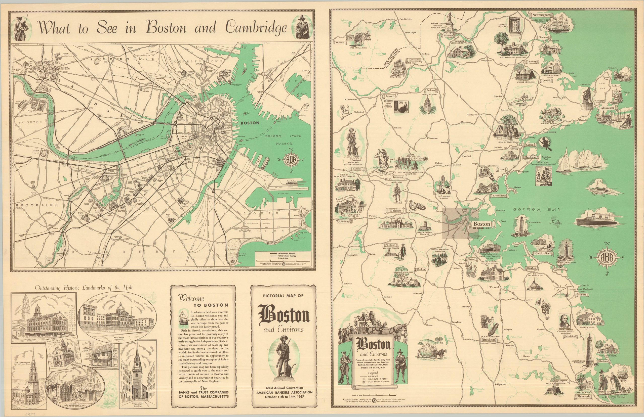
This lovely multi-part map of Boston and the surrounding area was published in 1937 by General Drafting Company Inc. of New York for issue to members of the 63rd Annual Convention of the American Bankers Association. The right side of the unfolded sheet presents a charming pictorial map of Boston and Environs, noting primary highways amid a series of illustrated vignettes that showcase regional history, industry, and architecture. Immediately adjacent is a street plan of the city titled ‘What to See in Boston and Cambridge’. Various locations of interest are pictured and labeled. Illustrations of ‘Outstanding Historic Landmarks of the Hub’ and a welcome from the Banks and Trust Companies of Boston, Massachusetts, complete the inviting souvenir.
Map Details
Publication Date: 1937
Author: General Drafting Company, Inc.
Sheet Width (in): 34.00
Sheet Height (in): 22.00
Condition: A
Condition Description: Two-toned sheet with light marginal wear, blank on verso. A rare unfolded example in very good to near fine condition.
$165.00
1 in stock