
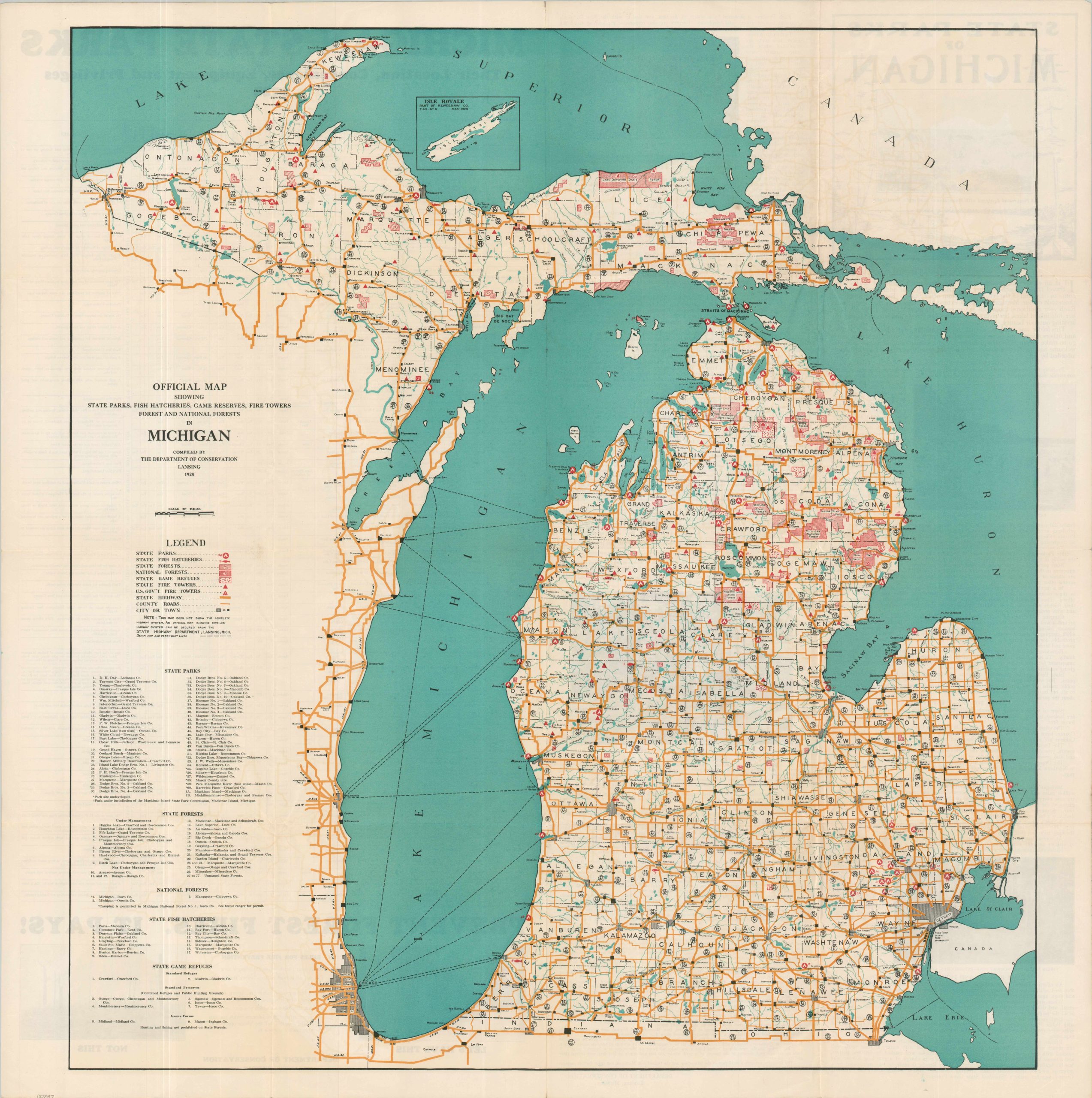
Official Map Showing State Parks, Fish Hatcheries, Game Reserves, Fire Towers, Forests and National Forests in Michigan
$200.00
A Playground Equipped with Mountains of Sand and a Great Lake!
1 in stock

Description
In 1921, the Michigan Legislature created the Department of Conservation to manage the state’s abundant natural resources and outdoor areas. This map shows the organization’s mandate less than a decade later – between 1921 and 1930, the total territory increased from 113,800 to 1.7 million acres!
State Parks, Fish Hatcheries, State Forests, National Forests, and Game Refuges are noted according to the comprehensive legend in the center left. Fire lookout towers (both state and federal) are pinpointed – an important and popular first line of defense against the dreaded forest fire. A robust network of state highways reflects the recent United States Numbered Highway System (introduced in 1926) and steamship/ferry lines are also shown. Railroads are omitted, possibly in favor of overall legibility.
The verso presents numerous panels of descriptive text and black & white photographs of Michigan’s parks and points of interest. A table lists their respective location, convenience, equipment, and privileges. At the bottom is the ubiquitous warning – PREVENT FOREST FIRES. IT PAYS! Published in Lansing in 1928 by the Michigan Department of Conservation.
Map Details
Publication Date: 1928
Author: Michigan Department of Conservation
Sheet Width (in): 32
Sheet Height (in): 32
Condition: A
Condition Description: Large color printed map, folded as issued. Creasing and small pinholes at fold joints and some light wrinkling throughout. Very good to near fine overall.
$200.00
1 in stock