Offical Map of Delta County, Michigan
$90.00
Hybrid promotional flyer and transportation map of a county in Michigan’s Upper Peninsula.
1 in stock

Description
This brightly colored, late 1920’s road map vividly highlights the network of county roads and state trunk lines available in Delta County, Michigan. Both are shown in red, with distances to nearby destinations noted in the white space around the image. Other local routes (presumably gravel or dirt) and railroads are represented in black. At the bottom, an inset map notes Delta County’s location (and triangular shape) in the Upper Peninsula.
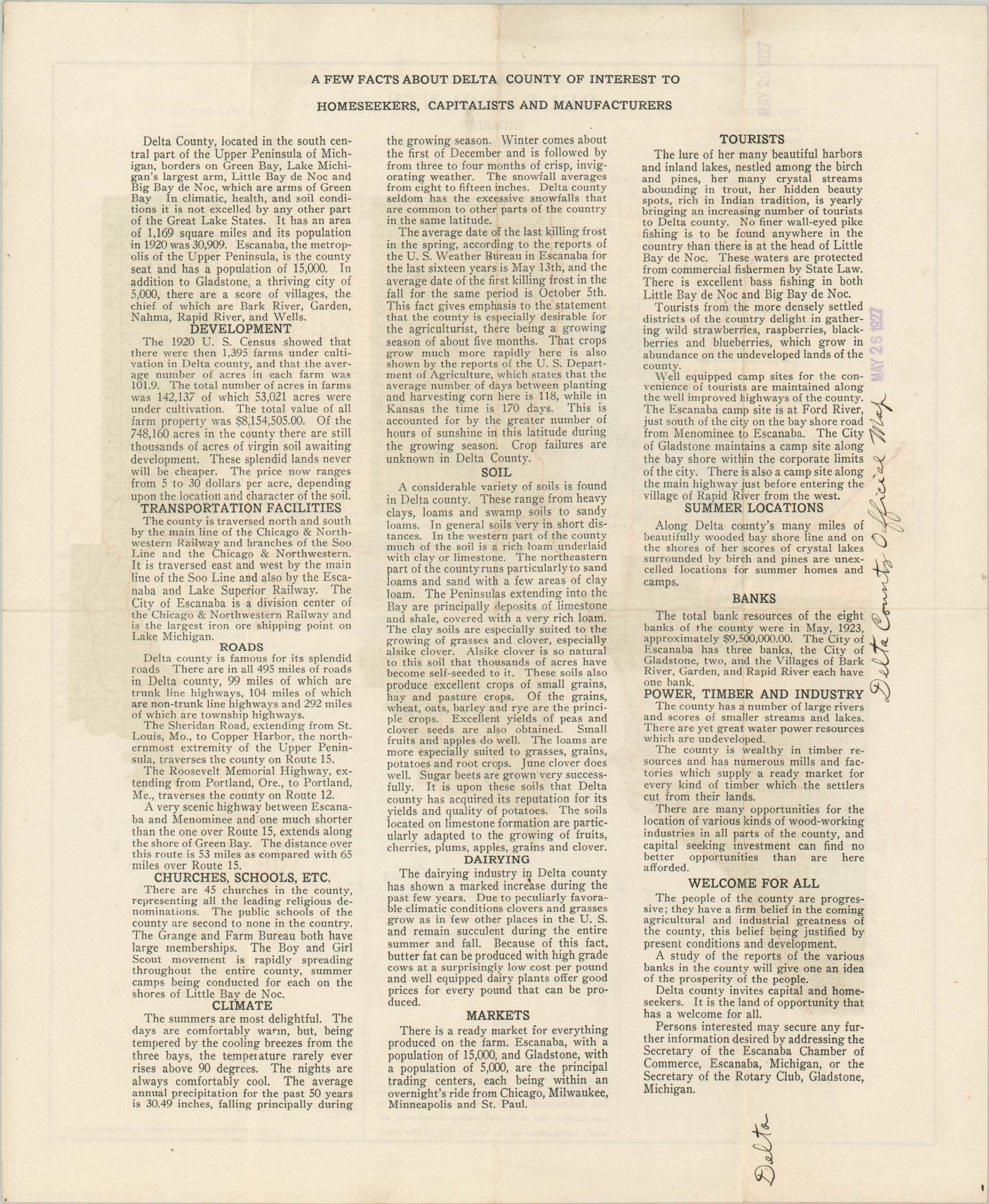
The verso features ‘a few facts about Delta County of interest to homeseekers, capitalists, and manufacturers.’ These include wealthy banks, seasonal tourists, rich soil, a healthy climate, and a robust transportation network. The map was designed by George Harvey and authorized by the Delta County Board of Supervisors. Lithographed in Chicago by the Standard Map Company.
Map Details
Publication Date: c. 1927
Author: Standard Map Company
Sheet Width (in): 14
Sheet Height (in): 17
Condition: A
Condition Description: Creasing and minor wear along fold lines. Faint discoloration, an old rubber stamp dated 1927, and ink script on the verso.
$90.00
1 in stock