
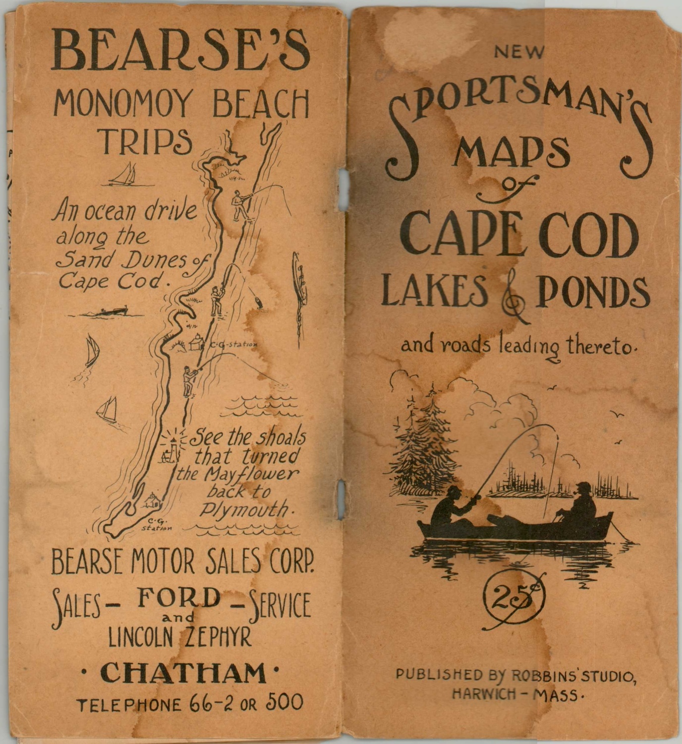
New Sportsman’s Maps of Cape Cod Lakes & Ponds
Prewar fishing guide to Cape Cod.
Out of stock

Description
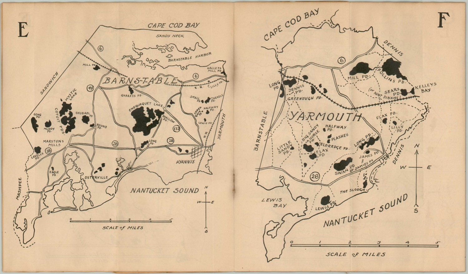
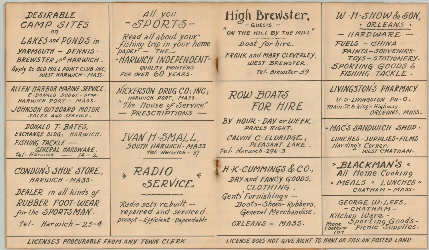
This ephemeral booklet of outdoor maps shows the various lakes and trails available to hunters and anglers across Barnstable County, Massachusetts. It was published in Harwich, MA by L.B. Robbins in 1936 and includes several pages of local contemporary advertisements.
In addition, as described on the first page, “fifteen separate maps are included in this folder; one map for each town on Cape Cod…Where the names of roads or paths are known they are so inserted for your guidance in reaching any pond or lake.”
Map Details
Publication Date: 1936
Author: L.B. Robbins
Sheet Width (in): 7.00
Sheet Height (in): 8.1
Condition: B
Condition Description: Fifteen single page maps and accompanying key, folded once, with stapled binding and original paper covers. Moderate water staining and toning on the wraps (almost loose) and throughout the contents. Fair to good condition overall.
Out of stock