
Muskeget Channel Massachusetts
$185.00
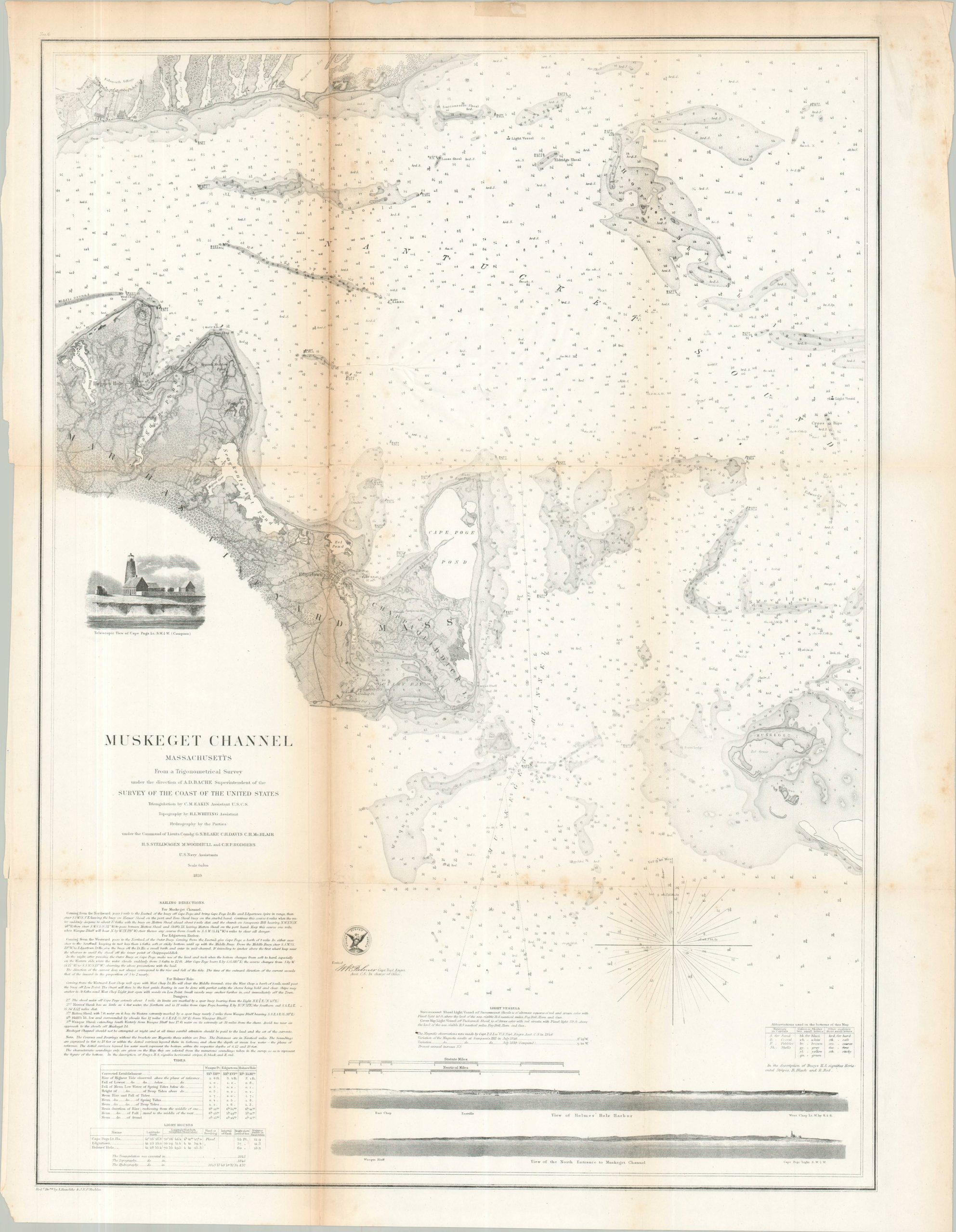
Late 1850s U.S. Coast survey of the Muskeget Channel and the coast of Martha’s Vineyard.
1 in stock
Description
This detailed 1859 U.S. Coast Survey chart details the waters of the Muskeget Channel, connecting the Atlantic Ocean to Nantucket Sound. The chartered waterway ran between the low, sandy Muskeget Island and Chappaquiddick Island, adjacent to Martha’s Vineyard. Scores of depth soundings – each originally meticulously recorded by hand – note the variations in water level and numerous dangerous shoals. Intricate coastal information is also provided, including the landscape of northeastern Martha’s Vineyard and the area around Falmouth Village on Cape Cod. Sailing directions, a telescopic view of Cape Poge, and views of Holmes Hole Harbor (Vineyard Haven) and the Muskeget Channel North Entrance (including the Cape Poge Lighthouse) are also provided on the sheet.
Map Details
Publication Date: 1859
Author: U.S. Coast Survey
Sheet Width (in): 22.90
Sheet Height (in): 29.75
Condition: B
Condition Description: Lithographed map on a single-sided sheet of thin paper. Creasing and heavy toning along old folds, with numerous clean splits repaired on the verso with archival tape. A bit of light scattered foxing, mostly confined to the margins and lower right. About good condition overall.
$185.00
1 in stock