Missouri’s Great Lake of the Ozarks
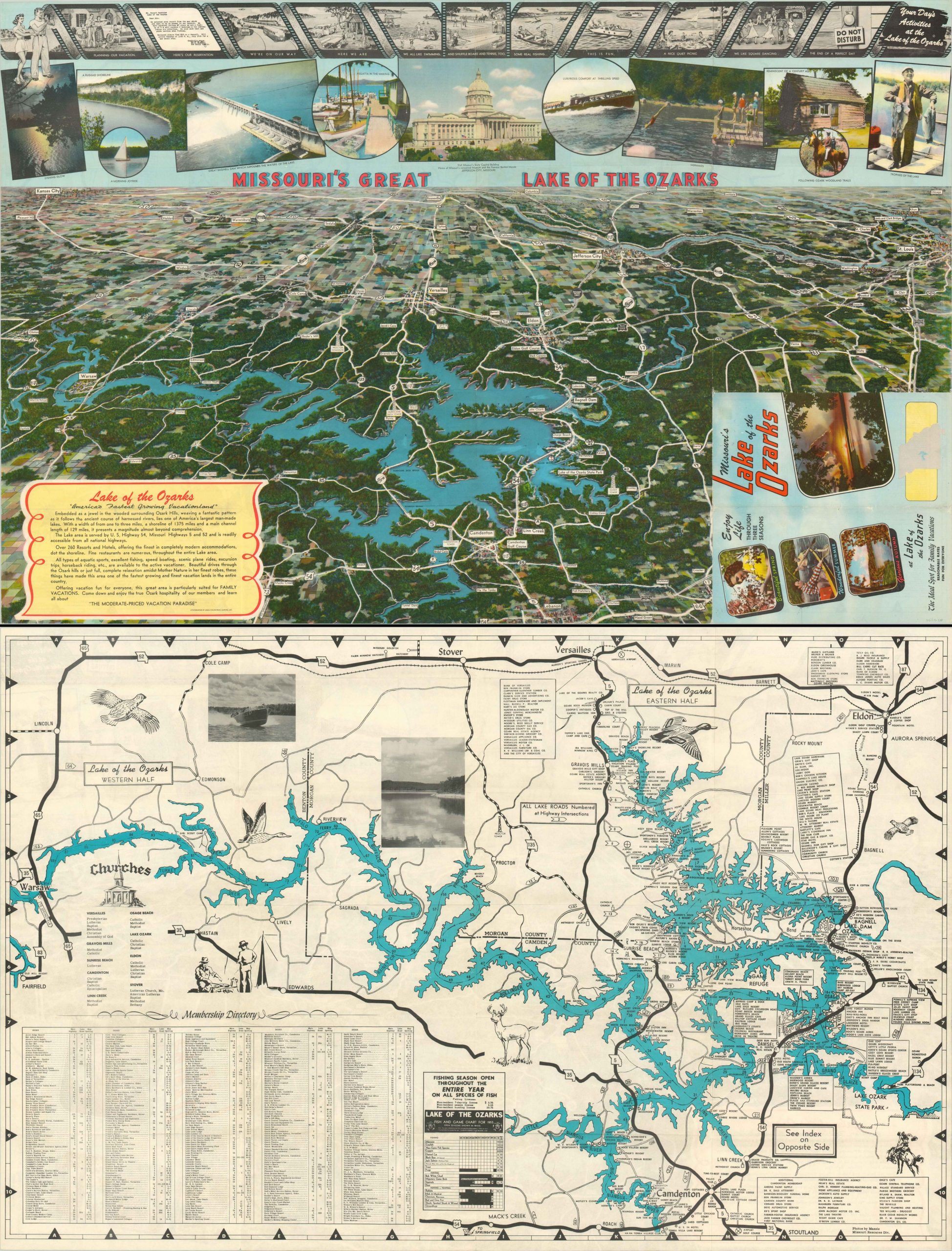
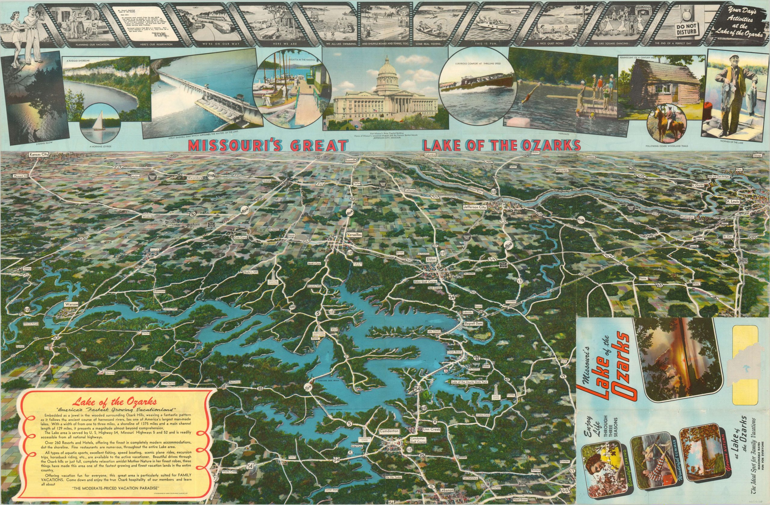
Vibrant bird’s eye view of the Lake of the Ozarks in Missouri.
Out of stock
Description
This lively map presents a sweeping view of Missouri’s Lake of the Ozarks. Lush forests are penetrated by a network of small towns and dotted with golf courses, transit stops, radio towers, and local attractions. Major transportation routes are noted and shown extending to nearby urban centers of Kansas City and St. Louis. The top of the sheet features an illustrated itinerary of an idyllic 1950’s vacation, with supporting photographic evidence immediately below.
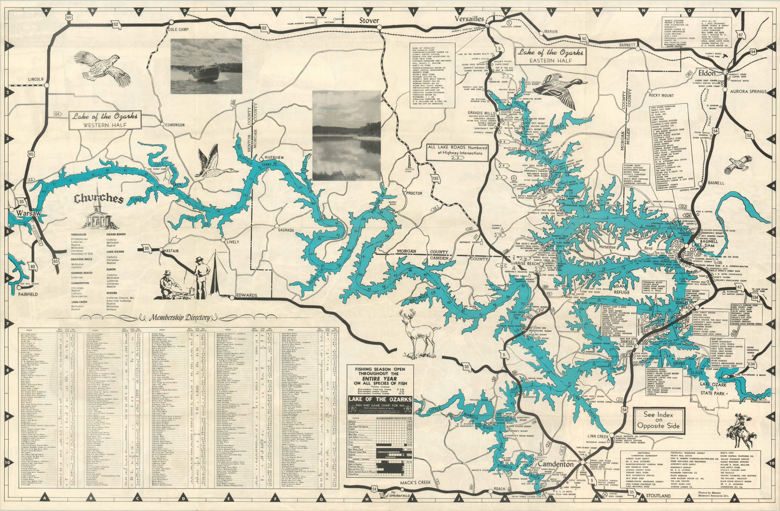
The verso features a more practical navigation guide and business directory of the region, along with extensive information on local hunting, fishing, and boating regulations. Lithographed in Aurora, Missouri by MWM Color Press in 1953.
Map Details
Publication Date: 1953
Author: MWM Color Press
Sheet Width (in): 33.90
Sheet Height (in): 21.90
Condition: A-
Condition Description: Creasing and faint wear along the originally issued fold lines, including a few small areas of separation and pinholes at fold intersections. Remains in very good condition, with vibrant lithographed color.
Out of stock


