Michigan
$125.00
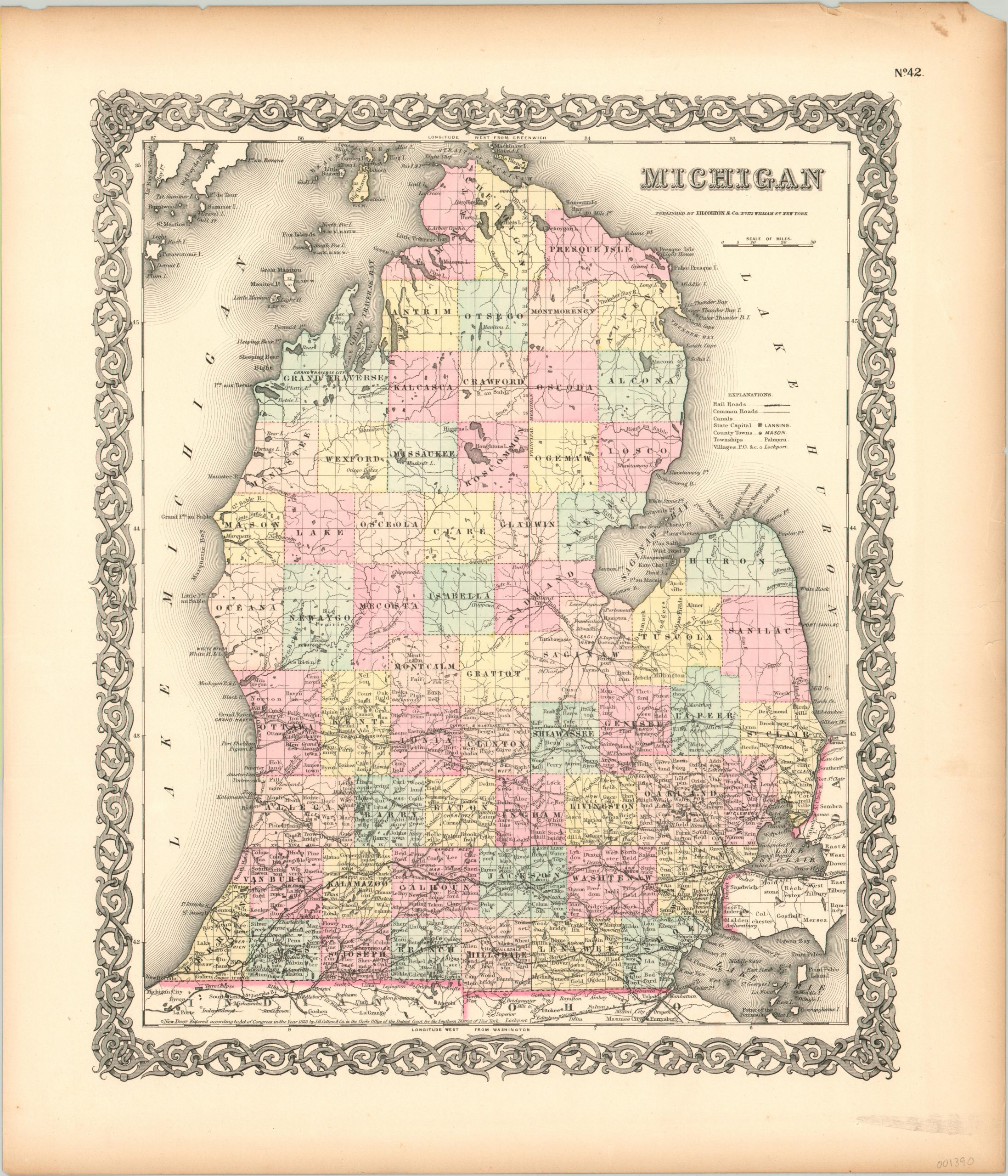
An antebellum look at Michigan’s lower peninsula, courtesy of Joseph Hutchins Colton.
1 in stock
Description
This hand colored engraved map presents Michigan’s lower peninsula within an attractive decorative border. It shows the more inhabited portion of the state as it neared completion with township surveying and county development. Various levels of settlement, from the humble village and post office to the state capital, are outlined within the legend.
Railroads, common roads, and canals – all icons of the rapidly expanding American transportation network of the mid 19th century – are identified and prevalent in the southern half of the image. Published by J.H. Colton & Co. in New York in 1855, the same year as the establishment of Michigan State University in East Lansing.
Map Details
Publication Date: 1855
Author: J.H. Colton
Sheet Width (in): 15.60
Sheet Height (in): 18.25
Condition: B+
Condition Description: Toned and faintly worn margins, but overall in very good shape with original hand color and a clean, bold impression.
$125.00
1 in stock

